@Scobleizer What’s new is old and old is new. Eh old friend? @Scobleizer 😂
English
John-Isaac Clark
947 posts
@johnisaacclark
AI Product Leader | Founder | Advisor | Mentor | Board Member | Opinions here are exclusively my own.

Most digital twin investments stall for one reason: They’re not grounded in how the world actually looks today. Niantic Spatial’s Reconstruction capability fixes this, creating a living, machine-readable 3D model that stays in sync with reality, so every system, team, and workflow operates from the same ground truth. In a new blog by Trista Pierce, Business Development Lead, explore how Scaniverse’s Reconstruction technology changes the cadence entirely. Read more: hubs.ly/Q04brNtg0
Vantor 🤝 @Google Earth AI. This changes the operational equation for sovereign government missions around the world. Today, we announced an agreement with Google to integrate their Earth AI imagery models into the Tensorglobe platform, making us the first in our industry with the ability to deploy Google Earth AI models inside sensitive and air-gapped government environments. This integration empowers our customers to build multi-sensor intelligence systems that combine the most advanced spatial foundation and operational technologies with the cutting-edge imagery foundation models to deliver faster, more trusted intelligence for security, civil, and humanitarian missions. These systems bring together: 🌍 Google’s breakthrough Earth AI imagery models, fine-tuned to sovereign and third-party data 🗺️ Vantor’s AI-ready spatial foundation built on global-scale 2D and 3D data 🛰️ Real-time tasking and a 20-year-plus high-resolution satellite imagery archive, the deepest in the commercial market 🤖 Automated multi-constellation orchestration, data fusion, intelligence hosting, and deployment capabilities The result: integrated intelligence analyzed at machine speed—inside secure sovereign environments and deployed wherever missions demand it. Read the full announcement to see how secure, sovereign deployment of Earth AI models is now a reality: vantor.com/blog/vantor-in…

We used Gemini 3.1 Pro to build a realistic city planner app. 🏙️ Watch how the model tackles complex terrain, maps out infrastructure, and simulates traffic to generate a high-quality visualization.
Vantor 🤝 @Google Earth AI. This changes the operational equation for sovereign government missions around the world. Today, we announced an agreement with Google to integrate their Earth AI imagery models into the Tensorglobe platform, making us the first in our industry with the ability to deploy Google Earth AI models inside sensitive and air-gapped government environments. This integration empowers our customers to build multi-sensor intelligence systems that combine the most advanced spatial foundation and operational technologies with the cutting-edge imagery foundation models to deliver faster, more trusted intelligence for security, civil, and humanitarian missions. These systems bring together: 🌍 Google’s breakthrough Earth AI imagery models, fine-tuned to sovereign and third-party data 🗺️ Vantor’s AI-ready spatial foundation built on global-scale 2D and 3D data 🛰️ Real-time tasking and a 20-year-plus high-resolution satellite imagery archive, the deepest in the commercial market 🤖 Automated multi-constellation orchestration, data fusion, intelligence hosting, and deployment capabilities The result: integrated intelligence analyzed at machine speed—inside secure sovereign environments and deployed wherever missions demand it. Read the full announcement to see how secure, sovereign deployment of Earth AI models is now a reality: vantor.com/blog/vantor-in…
Just met with President Trump to announce a historic agreement: the U.S. government is investing $8.9B in @Intel to boost American semiconductor leadership. I’m excited about the work ahead to ensure the most advanced silicon technology and computing products of the future are designed and built right here in the USA. Thank you @potus and @howardlutnick for the confidence you have in Intel to deliver for our country.


A tool for a better life. The Light Phone III is a decision you make when you're finally ready to say enough is enough. learn more & pre-order today: 👉thelightphone.com/lightiii


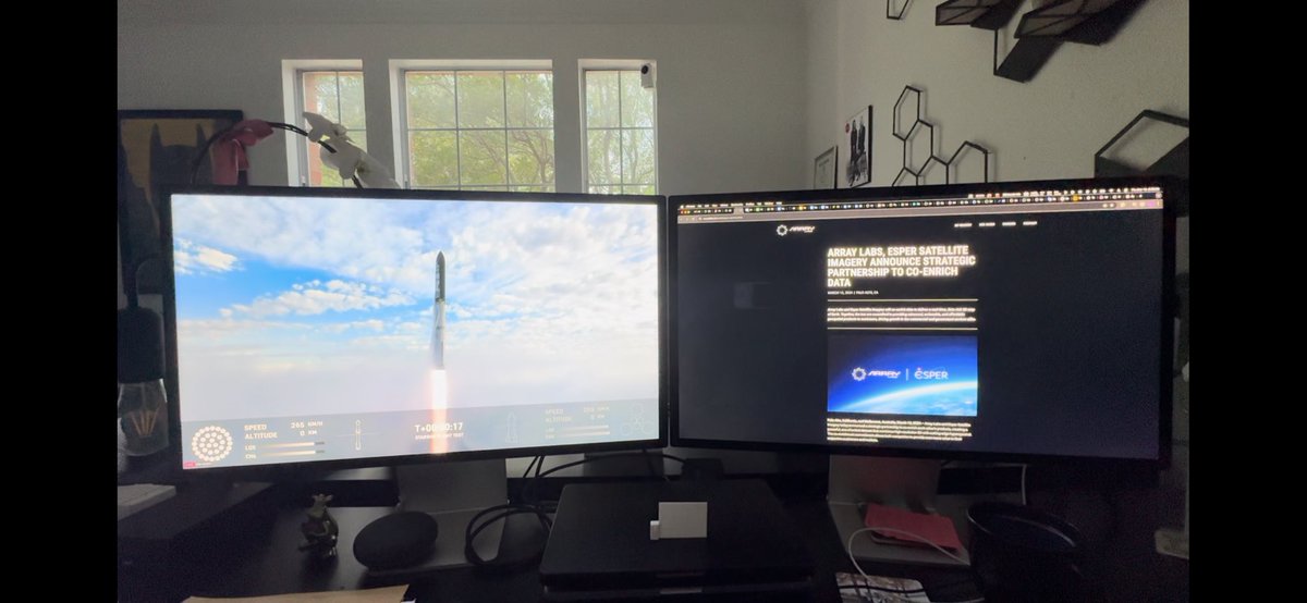
We're excited to announce a strategic partnership with @EsperSats to combine & co-enrich our datasets 🤝 3D × Hyperspectral, 🇺🇸 × 🇦🇺...what's not to love?! More info here: arraylabs.io/post/esper-par…