
Tomás Maroni
92 posts

Tomás Maroni
@maroni_editor
editor. map animator. map maker.
Argentina Katılım Nisan 2023
409 Takip Edilen157 Takipçiler
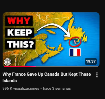
We have been working with Cole on his documentaries for some time now, mainly on the map animations. His latest video is very interesting.
youtube.com/watch?v=QSRkJB…
YouTube
English
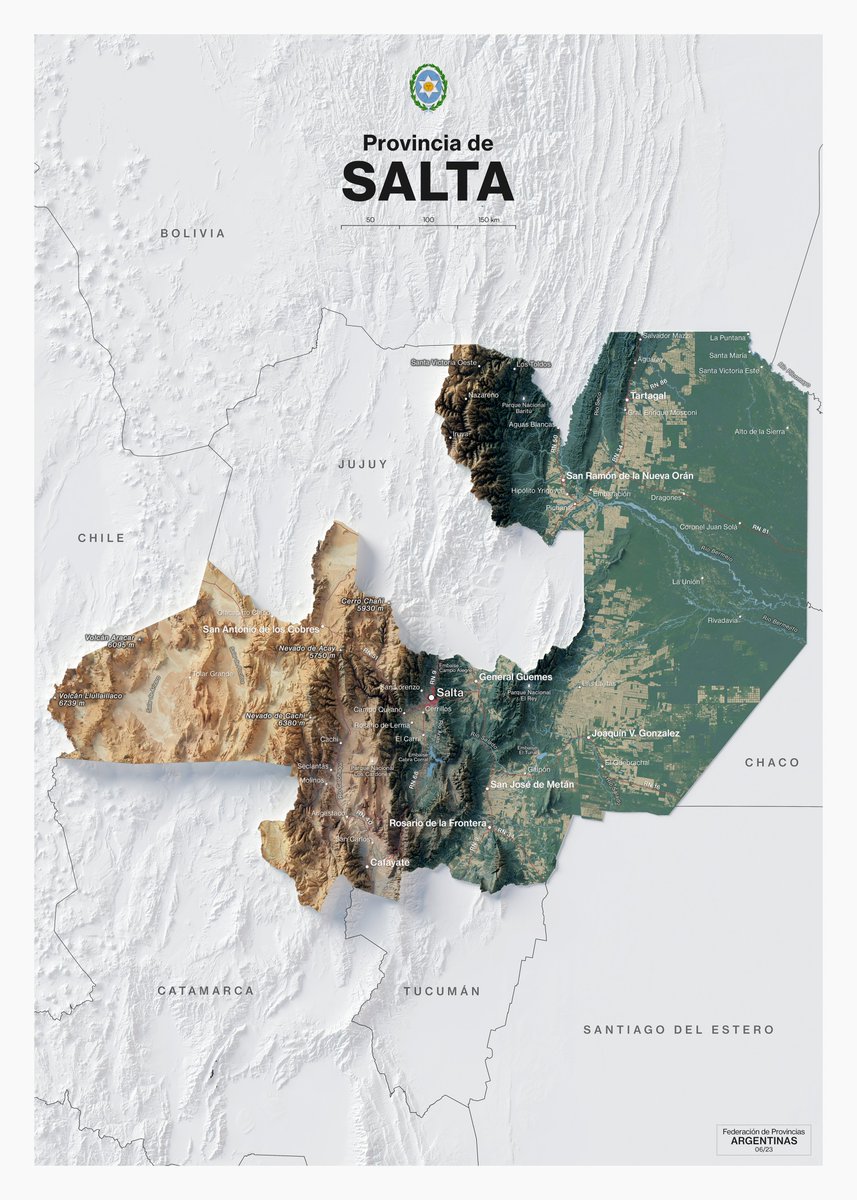
My first four maps about the collection I am compiling on the Argentine provinces.
#tucuman #tierradelfuego #neuquen #mendoza

English
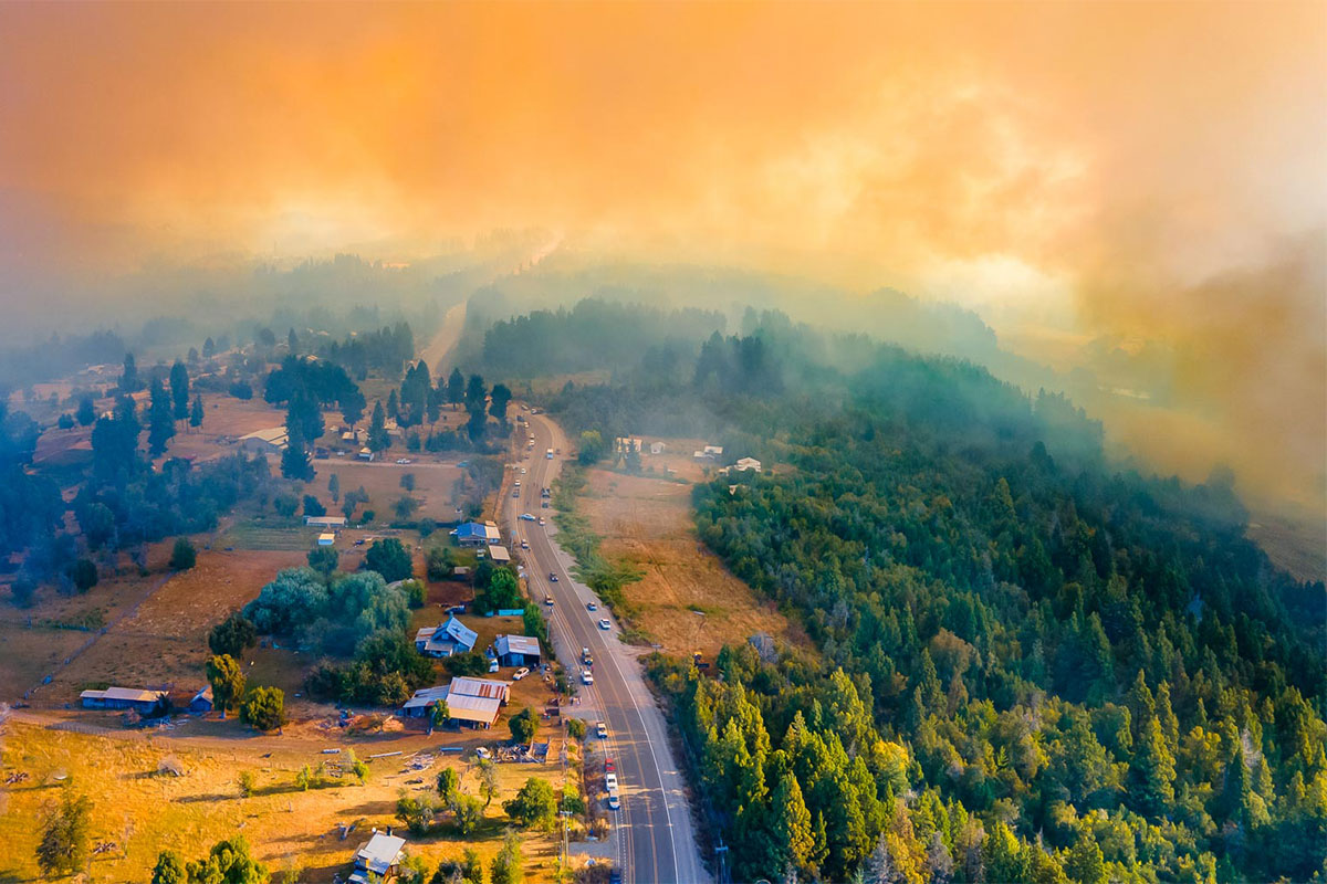
Clarification: Later sources state that more than 10,000 hectares were burned.
English
Day 15 — Fire
Before & after of a wildfire in El Bolsón, Patagonia Argentina.
Extreme drought and rising temperatures turned the region into a high-risk zone this summer. Visualizing how quickly the landscape can change.
#30DayMapChallenge
English
Day 15 — OpenStreetMap
Four of Europe’s greenest capitals, mapped exclusively with OSM land-use data.
A look at how open data helps reveal the structure of our cities and the green spaces within them.
#30DayMapChallenge

English
Day 13 — 10 minute map
Mapping the distribution of capybaras across the world.
I'm also surprised that there aren't any in Guyana and Suriname, but I did it with the data I found. 🤷♂️
#30DayMapChallenge

English
Day 11 — Minimal Map
A world vote reduced to three colors.
Mapping how nations stood on the UN moratorium to end the death penalty.
#30DayMapChallenge

English
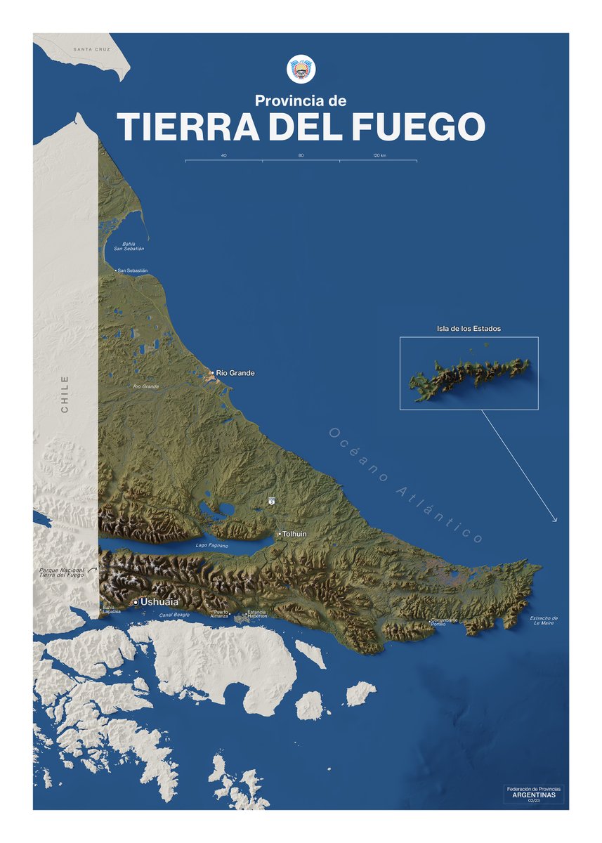
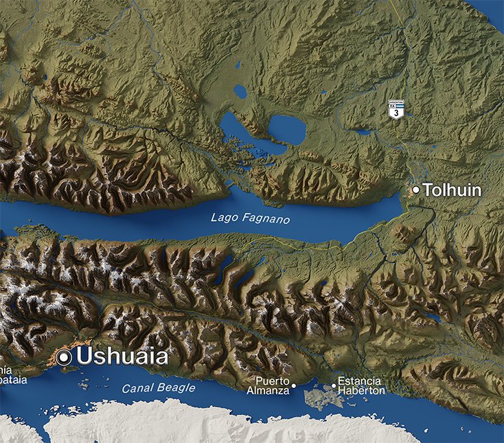
🗺️ My second map of a new project I’ve been working on — a collection of relief maps of Argentina’s provinces.
Tierra del Fuego, the southernmost land in the country.
Still a long way to go, but I’m loving the process.
#cartography #Argentina #TierraDelFuego #geography
English
@kimura Great!
I make them with QGIS and refine them in Photoshop.
I haven't been doing them for very long, but there are some tricks in QGIS that help elevate our maps visually. A good way to learn is with courses from @undertheraedar
English
Day 10 — Air
Flight routes departing from Atlanta (ATL) and Shanghai (PVG).
The busiest air hubs of the United States and China.
Mapping the patterns of global air travel.
#30DayMapChallenge

English

@milosmakesmaps It's very kind of you to recommend my profile. Thank you, Milos.
English

Very important map for urban planning!
Btw, I scrolled through @maroni_editor's profile and he shares excellent maps.
Give him a follow, map fans.
I already did
Tomás Maroni@maroni_editor
Day 7 — Accessibility Mapping access to healthcare in Madrid. The red polygons represent hospitals and clinics located within a 10 km radius from the city center. #30DayMapChallenge
English
Day 7 — Accessibility
Mapping access to healthcare in Madrid.
The red polygons represent hospitals and clinics located within a 10 km radius from the city center.
#30DayMapChallenge

English
@Finchedemo I did it by following a tutorial by Jake in Motion.
Here is the link:
youtube.com/watch?v=lfCE8g…

YouTube
English

Day 5 — Earth
The El Chaltén Massif, a granite mountain group in southern Patagonia dominated by Mount Fitz Roy and Cerro Torre.
Snow, rock, and ice define one of the most dramatic landscapes of the Andes.
#30DayMapChallenge

English
@bbboubacar03 Yes!
I downloaded my route as KML from Google My Maps.
Then I converted it to GeoJSON (with QGIS), and imported it into After Effects, where I used the #Geolayers plugin to animate the route and create the globe (as well as stylizing it a bit).
English

@maroni_editor Super. Quel outil as tu utilisé? Je peux savoir le process🙏🏾
Français
Day 4 — My Data
On December 31st, with friends, we took a train in Buenos Aires and arrived in Cusco.
In the map I show the route on the way there. You can see the goal achieved in the final photo!
#30DayMapChallenge
English
Day 3 — Polygons
Socioeconomic mosaic of Buenos Aires.
Each polygon represents a comuna, revealing contrasting living conditions across the city.
#30DayMapChallenge

English