
tower64
579 posts

KIMMEL DEFENDS THE JOKE: "I said, 'our first lady Melania's here, look at her, so beautiful. Mrs. Trump, you have a glow like an expectant widow. Which, obviously, was a joke about their age difference- and the look of joy we see on her face every time they're together. It was a very light roast joke about the fact that he's almost 80 and she's younger than I am. It was not by any stretch of the definition a call to assassination."
English


The social media busters are making fools of themselves. Spiking the football before reaching the goal line is silly. This squall line is producing observed 50-60mph+ gusts. Severe t-storm warnings up and down the line. 59mph gust at Lancaster airport in the past 1/2 hour.

Coplay, PA 🇺🇸 English

The FBI no shit just said they are looking for the motive for the guy wearing the “Property of Allah” hoodie. I’m guessing it’s not because he’s a fucking Cowboys fan.
English
Also addressed in the pattern discussion portion of the outlook is the upcoming late-season Sudden Stratospheric Warming and subsequent polar vortex split and when it could affect our region. The result is NOT a December repeat. This is the time of year where snow weenies just can't let go, so you'll hear a lot of hyped nonsense. Make sure you vet your sources.
English
𝗟𝗼𝗻𝗴 𝗿𝗮𝗻𝗴𝗲 𝗼𝘂𝘁𝗹𝗼𝗼𝗸: 𝗙𝗿𝗶𝗱𝗮𝘆 𝗙𝗲𝗯𝗿𝘂𝗮𝗿𝘆 𝟮𝟳𝘁𝗵:
View it here~> epawaweather.com/long-range-out…
Our weekly long range outlook takes a look at the next 5-6 weeks of temps/pattern and precip/snow into broken down time periods.

English
𝗘𝗣𝗔𝗪𝗔'𝘀 𝗙𝗜𝗡𝗔𝗟 𝗽𝗿𝗼𝗷𝗲𝗰𝘁𝗶𝗼𝗻𝘀 𝗳𝗼𝗿 𝘁𝗵𝗲 𝗪𝗶𝗻𝘁𝗲𝗿 𝘀𝘁𝗼𝗿𝗺...
View it here~> epawaweather.com/weather-alerts/
Expectations of snow are defined on Weather Alerts with a full synoptic discussion about this system, including timing/impacts. There are changes!
English
@seckhardt @epawawx @nynjpaweather 645 pm zionsville almost 2” on table. All surfaces covered even warm part of driveway
English

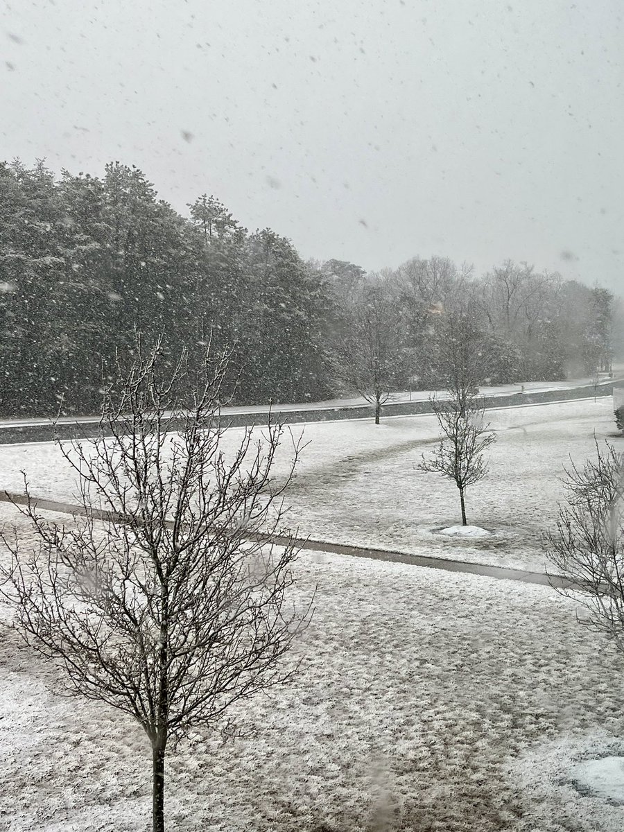
Streets are slushy but everything else is getting covered quickly in S Jersey
@nynjpaweather @epawawx
English
2:50pm update: using observations, which in this case is water vapor, we can see where the key players are... which match the HRRR output at 18z pretty well. Trough is outlined in black... very slightly positive tilt here (about 5°) but about to be neutral within the hour. The coastal low is indicated by the red L. The red circled area is the upper level energy that will dive into that low pressure, and allows two things to happen:
1) turns the trough to neutral as it rounds the base of the trough, and then negative as it catches up to the low in <2 hours.
2) allows the low pressure to rapidly develop and intensify... turning it into a sub-980mb storm, and will "capture" it or phase
We are on schedule and on projection at the moment... any remaining rain/mix will change to snow over the next hour or two, and temperatures will drop.

English
So here's the unofficial "where does Bobby stand as of this moment" post. I am not showing you fancy maps. No snow totals. But you're still going to get a probabilistic answer today of where I'm at. It is up to you to understand how probability works, not me.
But for those of you that do understand probability, here it is:
I give it a 10% chance to see a GFS-like solution where it is a Godzilla level storm for most of the region.
I also give it the same 10% chance to see a complete miss. Like entirely.
I give it a 50% chance that we see some sort of inverted trough. Not a direct hit that is phased and captured in time, but instead a lagging Northern stream that when it does dive in, creates this inverted trough. In this scenario, it is a 1-3/2-4" type of deal.
I give the remaining 30% chance to a European model-like solution. Which is still the inverted trough, but a little bit more robust with it. So more like a 3-6" deal.
This is how you effectively communicate forecast confidence without just posting a bunch of models that fit your narrative. We have the next 2 days to see where we go from here. But this is where I'm at as of 1:00 p.m. on Thursday.
Coplay, PA 🇺🇸 English
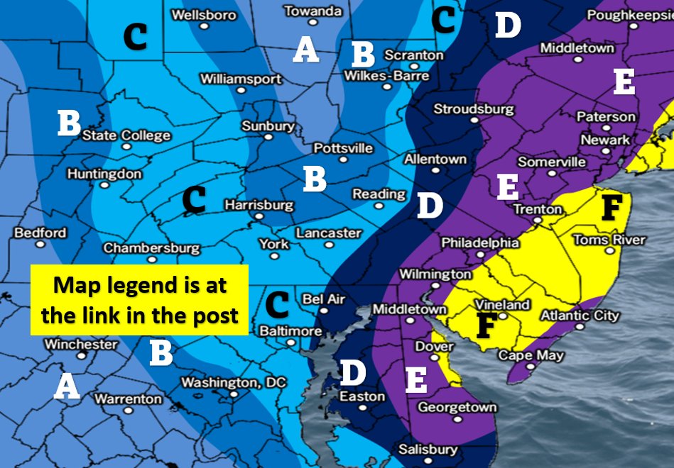
Categorical upgrades have been made to the following areas according to the attached map:
Yellow: 16-20" total snow
Red: 14-18" total snow and sleet
Orange: 12-16" total snow and sleet
Blue 10-14" total snow and sleet
All other areas remain as called on Weather Alerts
English
EPAWA's 1/22 and week ahead outlook, covering:
■ Milder today ahead of a cold front, colder follows
■ Comprehensive look at the weekend snow storm
■ Timing/expectations, and what we're monitoring
youtu.be/Xy4-vBQDz58

YouTube
English

A black woman in Mississippi took a white woman hostage after a confrontation at a Walmart customer service desk in 2022.
Corlunda Syimesha McGinister demanded to speak to a news anchor.
Police shot her instead.
Never relax.
English

A pit bull attacked a toddler on the streets of New York, but luckily a bystander was quick enough to choke the dog before it could do further harm the child.😳
English

We're missing a White Christmas this year by only 30 or so hours prior and a day and a half after.
Getting it to time up perfectly is a difficult task year to year, but hey at least we're getting December snow this year and not kicking the can to mid-January like most years.
Coplay, PA 🇺🇸 English
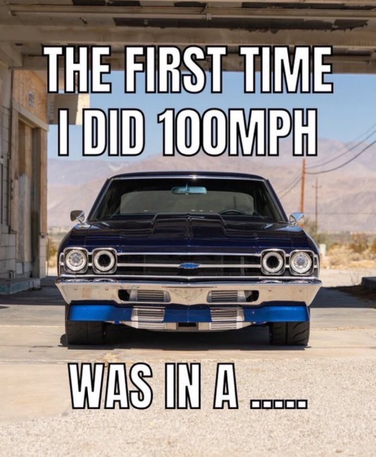
The First time I did 100 MPH
was in a ________________ ??
English
Now that we have a clear morning, you can see the extent of snow cover in our region on vis satellite. Most, if not all of this will be disappearing in a few days with a transient and synoptically-driven mild spike ahead of a cold front (and rain) Thursday night into Friday AM.
GIF
English
Grown men literally cried after our Friday long range outlook release, even though I told them the "torch" wasn't a thing and it is a few transient synoptically-driven milder days mixed in prior to Christmas. Today's Euro & GFS still have snow threats either side of Xmas sooo...
GIF
English