Закреплённый твит

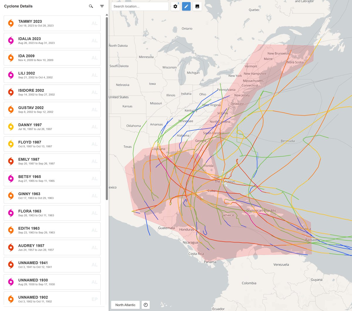
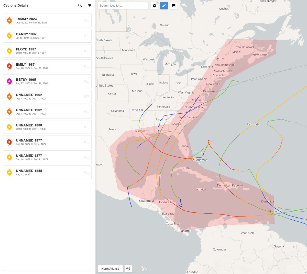
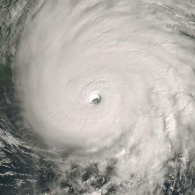
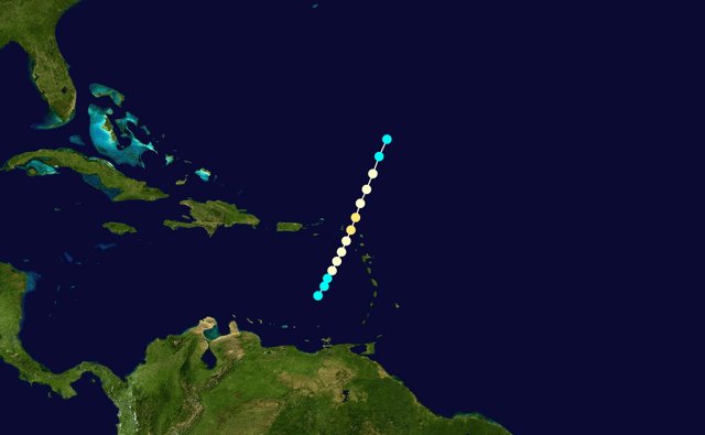
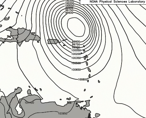
(1 of 2) We have plenty of historical Category 5 landfall candidates for the Atlantic basin. Storms like 1825 Santa Ana, 1831 Barbados, 1838 Bahamas, and et cetera. Yet out of all of these, one has always stood out. The 1780 Great hurricane.
The environmental wind damage reported from this cyclone was unbelievable. While storms like Dorian 2019 had some slight debarking here and there, what was documented in 1780 was widespread and seemingly unseen until Melissa. At least for the Atlantic.
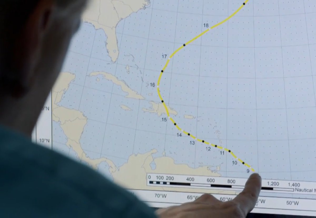
It's hard to compare 1780 to storms like Haiyan 2013. Their environments differ vastly. Though nonetheless, it's been surreal actually tracking an event that compares to the 1780 storm.

English