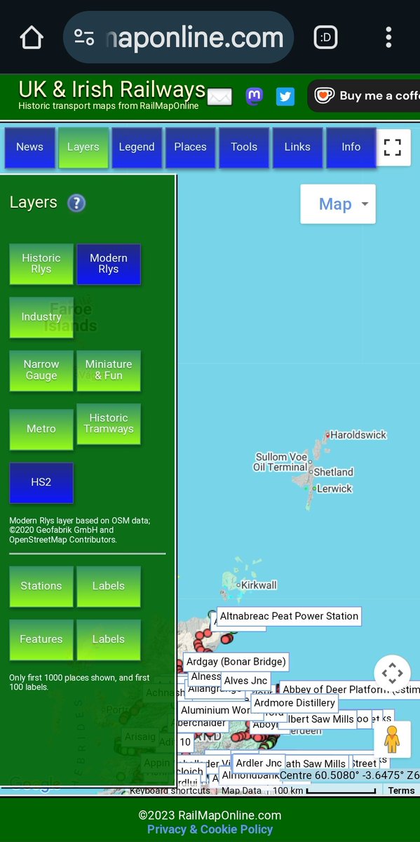
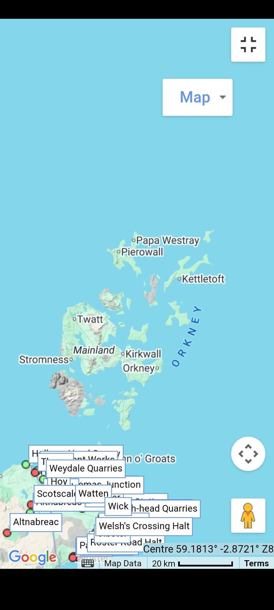
https://t.co/hjOi5okuRm has interactive maps showing past and present UK, Irish & US railways. Now with historic canals, trams, trolleybus & military airfields.
There's been some big updates for the UK railway map over the past month. South Devon got a complete redraw, with greater accuracy and lots more detail, especially for the industrial tramways. Display more tracks by selecting 'Layers' at top-right.
RailMapOnline.com
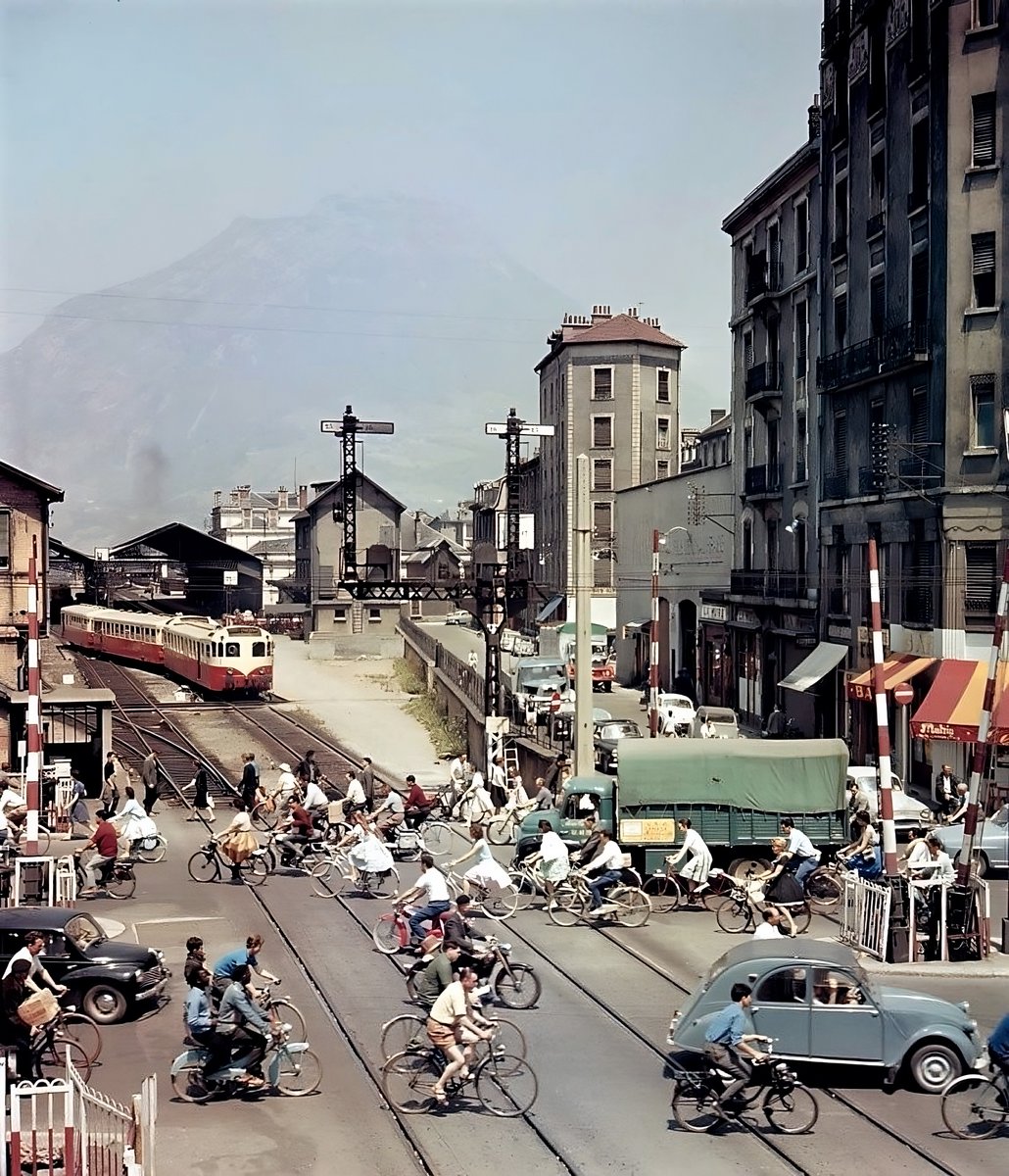
Blackburn, Burnley, Accrington, Darwen, Clitheroe, Colne all redrawn. Remember to switch on the "Industry" layer to see extra detail.
RailMapOnline.com
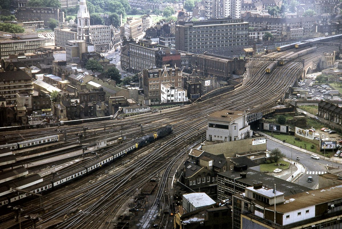
Liverpool St., The Forgotten Connection:
Metropolitan Railway Trains at Liverpool Street Main Line Platforms 1 & 2
One of the most intriguing footnotes in London railway history is the brief period when Metropolitan Railway trains ran into the main-line platforms of Liverpool Street Station, specifically Platforms 1 and 2, via a short curved tunnel connection.
When the Great Eastern Railway (GER) opened its new low-level terminus at Liverpool Street in February 1874, it was deliberately designed with future integration to the expanding underground network in mind. The Metropolitan Railway (the Met), having reached Moorgate in 1865, was pushing eastward to complete its part of the Inner Circle (today’s Circle, Hammersmith & City and Metropolitan lines).
Construction of the Met’s own underground station at Liverpool Street (originally called Bishopsgate) faced serious delays: difficult ground conditions, land acquisition issues, and late delivery of the wrought-iron roof girders. To avoid postponing the eastward extension from Moorgate, the Met obtained powers (in its 1870 Act) to build a temporary 3.5-chain (≈70-metre) double-track curved tunnel that would allow their trains to reach the GER station as an interim terminus.
The low-level design of Liverpool Street made this junction feasible, the tunnel curved north from the Met tracks (west of the future underground station) and emerged directly into the buffer stops of Platforms 1 and 2 (the westernmost platforms at the time).
The connection was opened on 1 February 1875 when Metropolitan (and Hammersmith & City) trainsbegan terminating at Liverpool Street main-line Platforms 1 & 2. The Met’s own underground station opened on 12 July 1875 (initially named Bishopsgate, renamed Liverpool Street in 1909). Regular passenger use of the connection lasted only five months(Feb–July 1875) but occasional specials and excursions use continued on and off until 1904, the last known working was a Met excursion from Aylesbury to Yarmouth.
The junction was taken out of use in 1907 and the track lifted around 1916.
1875 (regular service): Hammersmith & City and Metropolitan trains ran through the short tunnel and terminated at Platforms 1 & 2 while their own station was completed. This allowed the Met to begin serving the eastern City without delay.
Post-1875: Regular through passenger services never materialised. Relations between the Met and GER were often strained, there were the usual disputes over running powers, through services to places like Walthamstow or Chingford, and the share of revenue. The connection saw only occasional special workings, excursions, and possibly some freight or stock movements.
The tunnel itself later served as a carriage siding, then a GER/LNER staff canteen and recreation roomfor many years. Parts of it were later repurposed or cut through during Broadgate redevelopment and Crossrail (Elizabeth line) works.
Today, Platforms 1 and 2 still sit on roughly the same alignment, but the buffers were moved back during 1980s/1990s reconstruction. The curved alignment of the old Met connection can sometimes be seen on early track layouts or old maps, and remnants of the tunnel survive in hidden voids beneath the station.
In the Underground Liverpool St,. a separate west-facing bay platform station was used for many decades by terminating Metropolitan and occasional District line trains running via Edgware Road, this is the “forgotten platform” now bricked up.
Sources drawn from: Alan A. Jackson’s London’s Termini(1986), Crossrail heritage reports, London Railway Atlas(Ian Allan), Wikipedia, and contemporary enthusiast discussions.
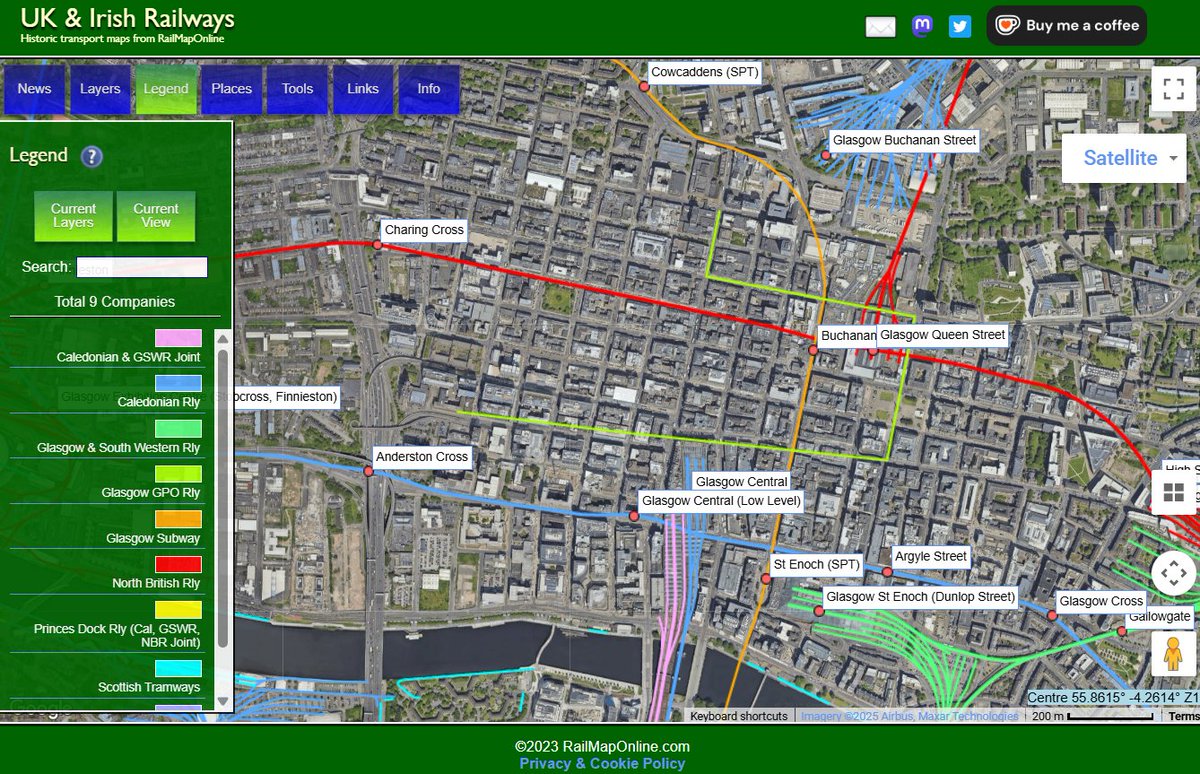
Last few updates before the holidays, and included is a placeholder for the Glasgow GPO underground railway (on the 'Industry' layer).
What was the route(s), how did it work, and did it even exist?
RailMapOnline.com
More at registry.gsg.org.uk/sr/sitedetails…
This timelapse, using aerials from the past 21 years, reveals the extent to which the River Spey's course changes, even over a relatively short period.
The pier supporting the collapsed spans of #SpeyViaduct then found itself standing in the river's main channel. Scour ensued.
🚆Today Monday marks one year of the Northumberland Line, and we’re celebrating with a full route time lapse video. More than 920,000 journeys have already been made between Newcastle, Manors, Seaton Delaval, Newsham, Blyth Bebside and Ashington. The line has become a go to for weekend travel, and we’re now seeing more commuters and students using it during the week too. Thank you for being part of its first year. 🙌
#NorthumberlandLine#Newcastle#NorthEast#RailTravel
"I lived in Surrey for a while and I used to get the train home from there most nights. You've got the river there, and when you cross the river that means you're going on somewhere to the south by train. It's always been a special place for me." - Ray Davies on Waterloo station
Passengers disembark from the SS 'Cedric', arriving at the London & North Western Railway's Holyhead docks, ready to join a waiting boat train.
Photo by SSPL
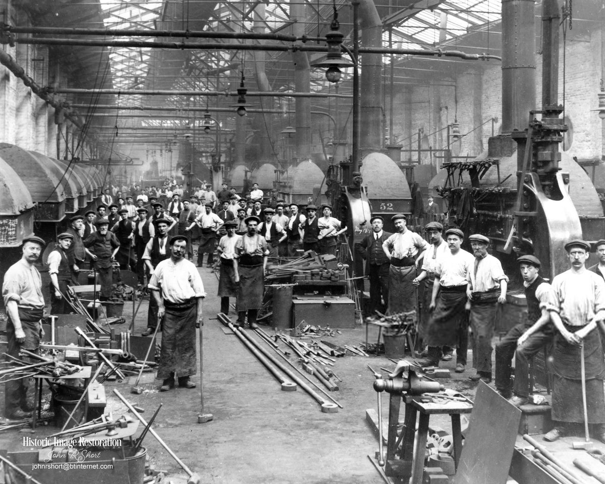
Greenesfield Locomotive Works, Gateshead. The transformation from station to works happened in the early 1850s. The old station buildings — including an 1844 “Station Hotel” — were extended to become engine-building and repair workshops.
The Military Airfields map gets some new entries, including industry airfields, various satellite landing grounds, and support units (bomb dumps, maintenance units, hospitals).
RailMapOnline.com/airfields
Photo shows Gloucestershire Aircraft Company Works, Brockworth, 1925