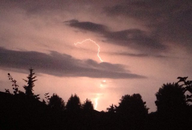
@TrackerSacker We live in East Tennessee. Nothing is happening.
English
Kasey Cornette
478 posts

@TennTrackWX
Providing safety and weather intelligence to east Tennessee.


@CaprisunWx No, it is not. We are looking at a 25 minute ADVANCED warning for Monticello, specifically for those in a mobile home, RV, or camping that don't have a place to shelter. With a violent tornado, no, it's not.


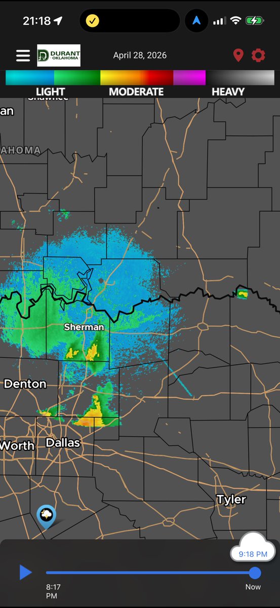
Alright for the people who can’t comprehend, yes it is available in the free app. OBVIOUSLY as I just SHOWED you. I have submitted 3 requests to the City for a data pipe. They denied all 3. I meet all requirements. I’ve inquired about PAYING for it. If this is truly tax funded there should be a way in. The free app they provide is not useful in any way shape or form. And for god sakes the scrubber handle is a freaking cloud.
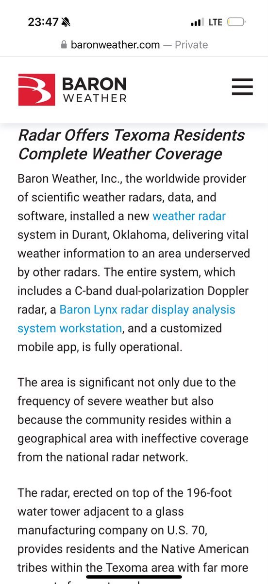
This Durant radar app SUCKS. It’s the cookie cutter Baron piece of crap. Is there any way to get these people to give us web socket or even a bucket to pull data from? Did tax payers fund this or did Baron? If tax payers did there may be some legal route to go here. This should not be the only method to access.