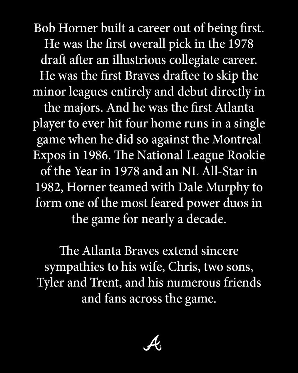
Sabitlenmiş Tweet

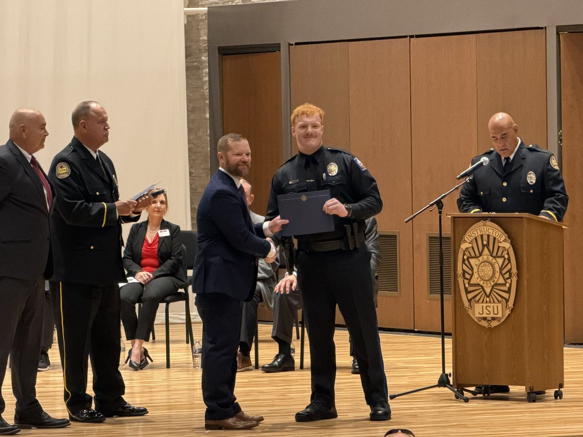
Over the past year, I have given careful and thoughtful consideration to establishing a timeline for my retirement. This decision has not been an easy one. There is never a perfect time to step away from something you love, but there is a right time. Law enforcement has been my life, and this department has been a big part of it. I have genuinely cherished almost every day of my service.
I have been extraordinarily fortunate to work alongside the finest staff a police chief could hope to serve with. Their dedication to this community is evident in every interaction and every call for service. Their professionalism, compassion, and commitment have been the cornerstone of this department’s success.
Over the past 39 years, we have come a long way. I was privileged to begin my career under outstanding mentors and to receive exceptional training. Together, we have advanced this department into one of the most technologically capable in the state, while continually striving to improve how we serve and protect our community.
No police chief can be effective without strong community support, cohesive political leadership, and a dedicated staff. I have been fortunate to experience all three. Working collaboratively, we have made meaningful progress in enhancing the safety and quality of life for the citizens we serve.
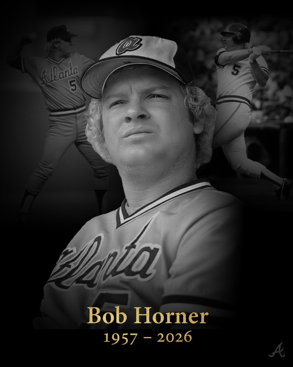
I will retire effective May 1, 2026. It has been a profound honor to serve the citizens of Oxford. This department and its members mean more to me than words can adequately express.
To the men and women of this department: continue to treat people the way you would want your family treated, and you will continue to earn the respect and trust of the community. I will always pray for your safety. Please remain vigilant, know that I will always support you, and that I will continue to speak out on your behalf.
Sincerely,
Bill Partridge
Chief of Police
Director of Public Safety

English