
ExtraMile Cloud retweetledi

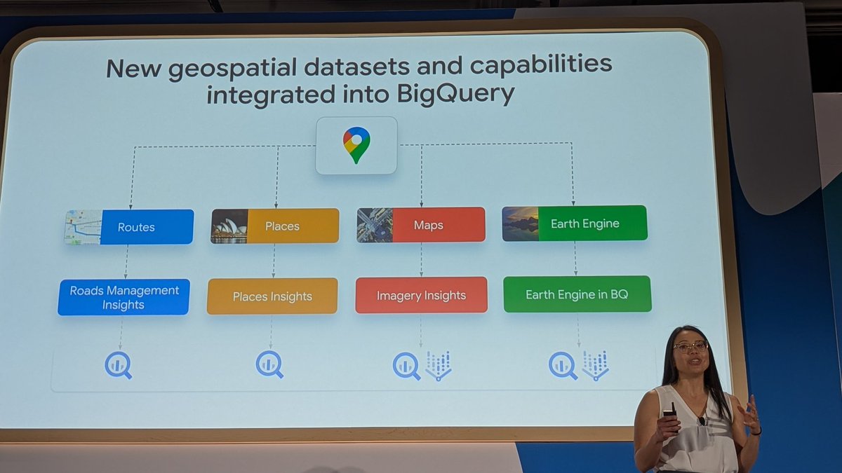
Google just wired DeepMind and Earth Engine directly into the biggest geospatial dataset on the planet.
For two decades, millions of people used Google Earth to scale the Himalayas or zoom in on their childhood neighbourhoods.
In 2026, Google is basically trying to shift the entire platform toward professional execution. They turned a massive digital twin of the world into an agentic AI engine for global infrastructure.
The technical foundation is (obviously) all about data. Google integrated 20-metre and 40-metre elevation contours globally. Engineers and urban planners now have instant access to the exact topographic context required for site planning anywhere on Earth. The data catalogue updates continuously to maintain the freshest imagery possible.
Collaboration used to kill geospatial projects. Teams would lose momentum through stale materials or bad handoffs. Google fixed this by building frictionless data import systems. You can now drop KML, KMZ, and GeoJSON files directly onto the global map. Entire departments can align on a single source of truth, moving from a raw question to a definitive answer instantly.
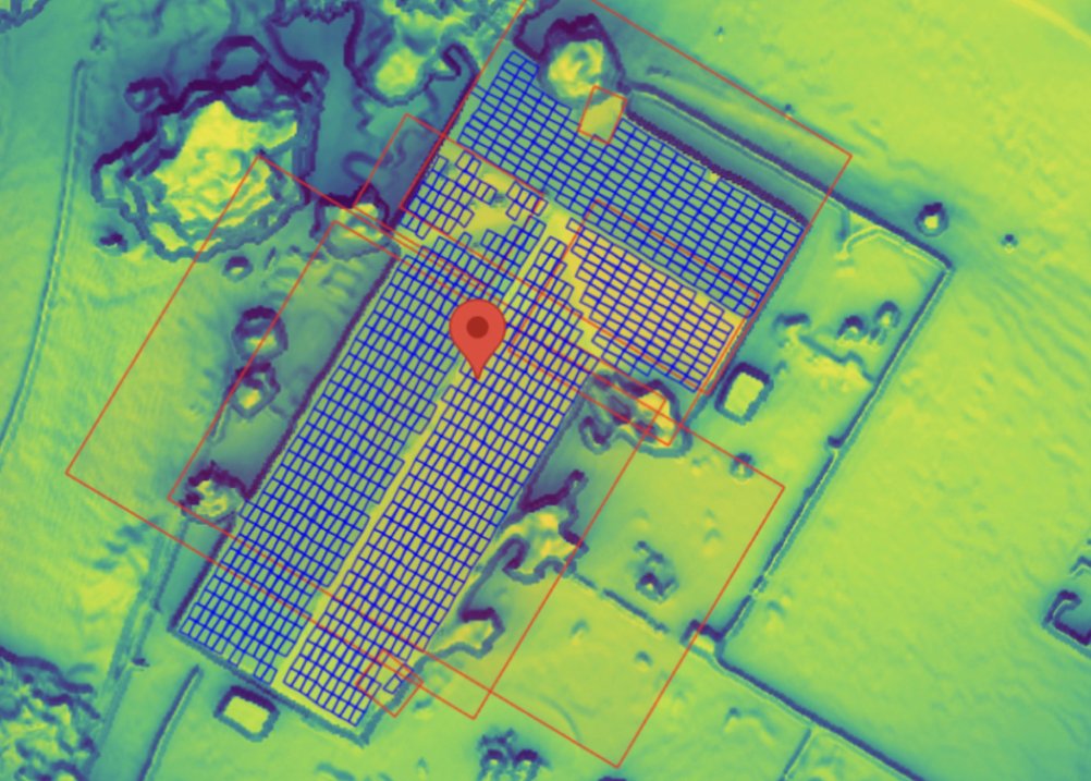
The biggest upgrade is the introduction of agentic geospatial intelligence. Users can open 'Ask Google Earth' and search massive satellite and Street View databases using natural language. You type a command, and the AI handles the manual data wrangling.
It identifies new site locations and analyses infrastructure before you even open a spreadsheet.
English