Sabitlenmiş Tweet

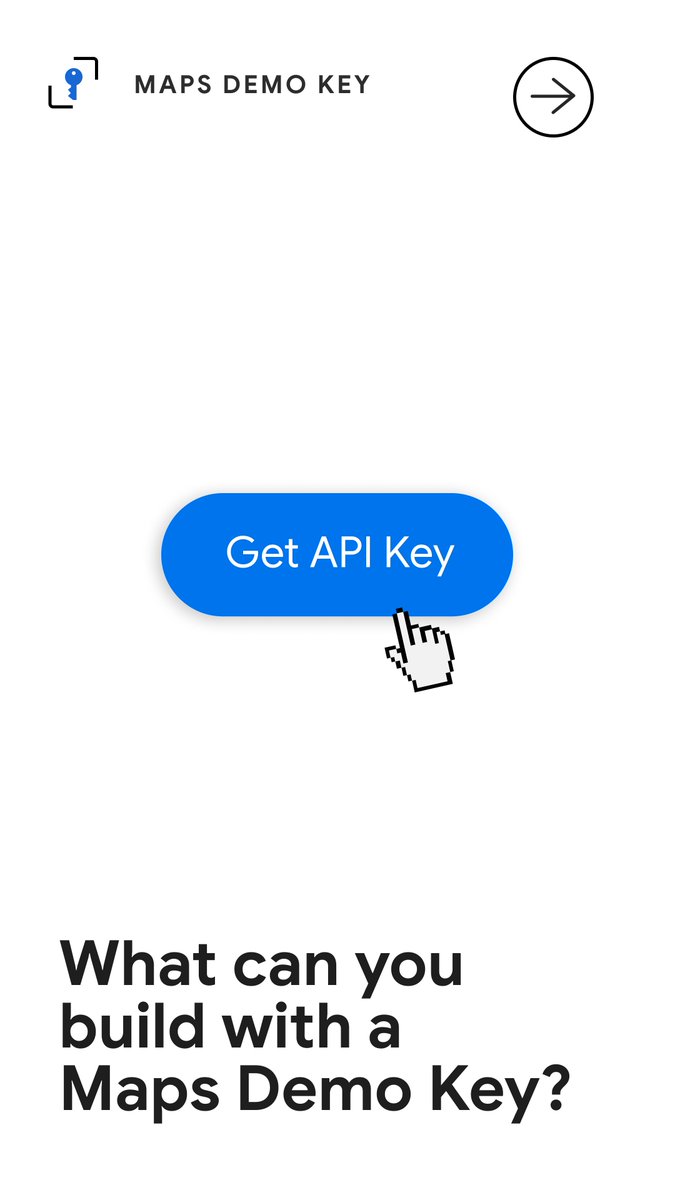
Ready to try building geospatial prototypes? 🤖🗺️ It's easier than ever with the Maps Demo Key: goo.gle/4xqqBub
We’ve expanded the Maps Demo Key to give you free access to even more features. Whether you are a "vibecoder" using AI agents or a developer validating a new use case, you can now prototype in a safe, sandboxed environment with zero financial risk.
What's new:
📍 Autocomplete & Geocoding for precision input
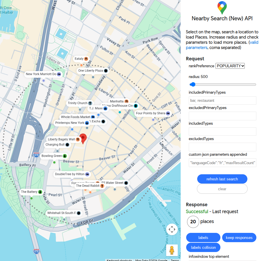
🔍 Nearby Search & Text Search for discovery
🛣️ Compute Routes for seamless journeys
🏪 Place details text for rich place data
You can use all the above and Maps Grounding Lite, Places UI Kit, Weather, and more with the API key. Click the link above to start experimenting today with just your Google account.
#AI #GenerativeAI #VibeCoding #GoogleMapsPlatform #DevTools


English