Mason Gleva retweetledi

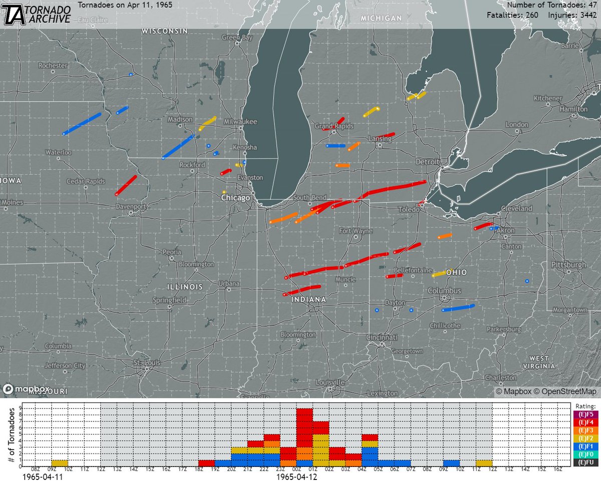
April 11, 1965:
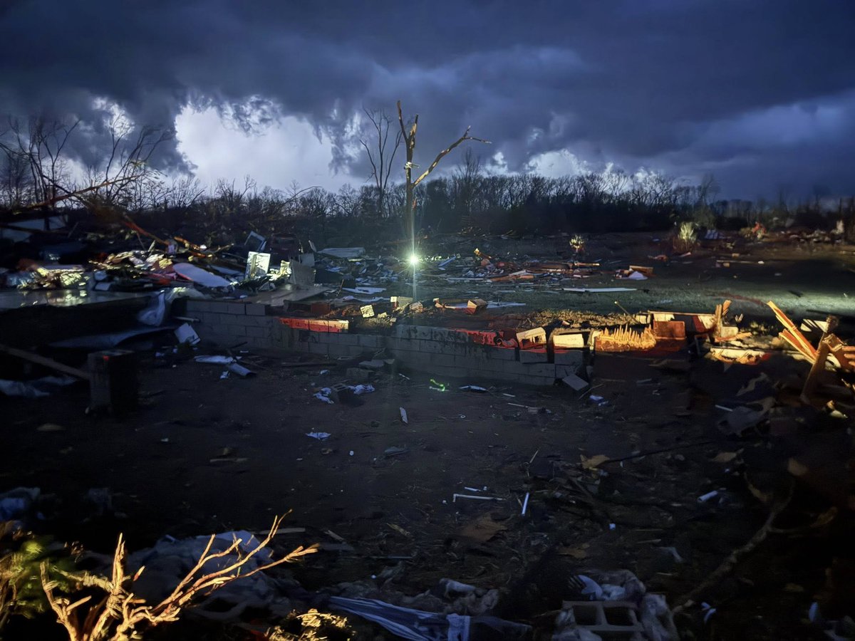
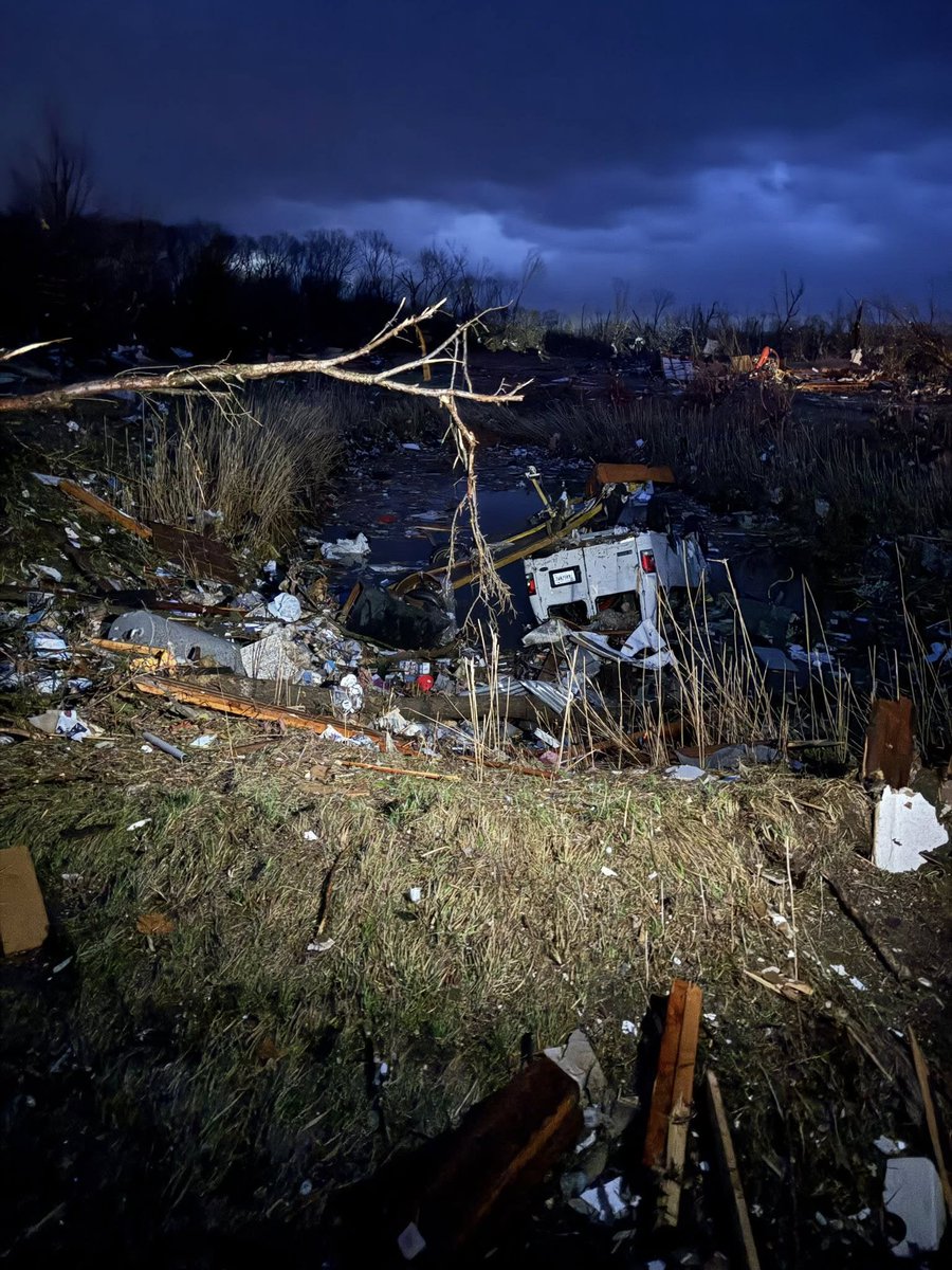
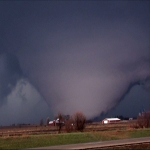
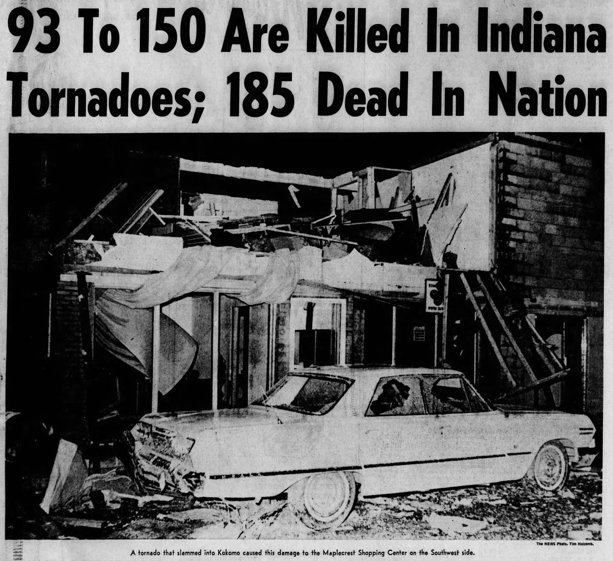
One of the worst tornado outbreaks in US history struck the Great Lakes region. Nearly four dozen tornadoes (17 of which were rated F4) slammed numerous towns and cities, resulting in ~260 fatalities, >3400 injuries, and billions of dollars in damage.
#wxhistory


English