Garret Hartung

5.2K posts

Garret Hartung banner
Garret Hartung

Garret Hartung

@HartungWx

Just some long haired dude that likes to stare at clouds and dodge lightning. Meteorologist, Storm Chaser, and amateur disc golfer.

Portland Oregon Katılım Nisan 2013
256 Takip Edilen1.2K Takipçiler
Garret Hartung
Garret Hartung@HartungWx·
@225MPH_EF4 Ritzville Washington. I know a guy whose like really into dust devils if you wanna see some monsters
English
0
0
6
165
Garret Hartung
Garret Hartung@HartungWx·
Captured some upward lightning emanating out of a few of the wind turbines near Rufus, Oregon yesterday evening as the main line of storms drifted into the eastern slopes of the Cascades. #orwx #wawx
English
5
47
203
7.7K
Garret Hartung
Garret Hartung@HartungWx·
@CliffMass And for the record…I agree that Columbia ag will be fine but that’s only because the upper Columbia in BC and portions of western Montana had well above normal snow pack above 5500ft.
English
0
0
1
80
Garret Hartung
Garret Hartung@HartungWx·
@CliffMass Wow inflow into Cle Elum might get near the 10th percentile (90% exceedence) with this “scary wet” period coming up. Looking like some of the worst inflows into those reservoirs on record over the summer due to lack of snowpack. Drought seems warented given those inflow.
Garret Hartung tweet media
English
2
0
2
897
Jonathan Pulley
Jonathan Pulley@WhidbeyWXGuy·
I saw a weak tornado near Clifton, Kansas earlier! This is now my 2nd day in a row with seeing a tornado. Heck yeah!
English
6
3
44
1.4K
Garret Hartung
Garret Hartung@HartungWx·
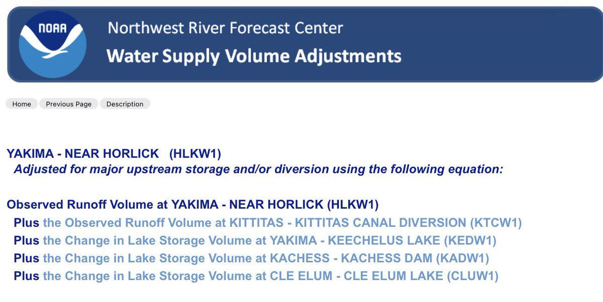
@LocalClim @SeattleWXGuy @CliffMass Here’s what goes into the ESP-10 seasonal volume forecast…seems like it DOES include dam releases. Plus you can do the math (I did) on changes in storage over the season and see that it has to include the volume of water released out of those dams for the volumes to make sense.
Garret Hartung tweet media
English
1
0
1
105
LocalClimateWeatherPerson
LocalClimateWeatherPerson@LocalClim·
@SeattleWXGuy @CliffMass Michael...you are totally wrong on this. The water supply volume DOES NOT INCLUDE DAM RELEASES. During the summer, snow melt is not important. Really, you have this completely wrong. TALK TO THE RIVER FORECAST FOLKS. Seriously...cliff
English
4
0
2
264
Garret Hartung
Garret Hartung@HartungWx·
@CliffMass 12z EC Ens mean still shows below normal precipitation for most of the PNW over the next 15 days. Lower res AIFS ensemble is just barely near average for some of the Cascades and BC. Not quite “substantial” Cliff…in fact still a lot of downside risk for precip.
Garret Hartung tweet mediaGarret Hartung tweet media
English
0
0
15
1.1K
Michael Snyder
Michael Snyder@SeattleWXGuy·
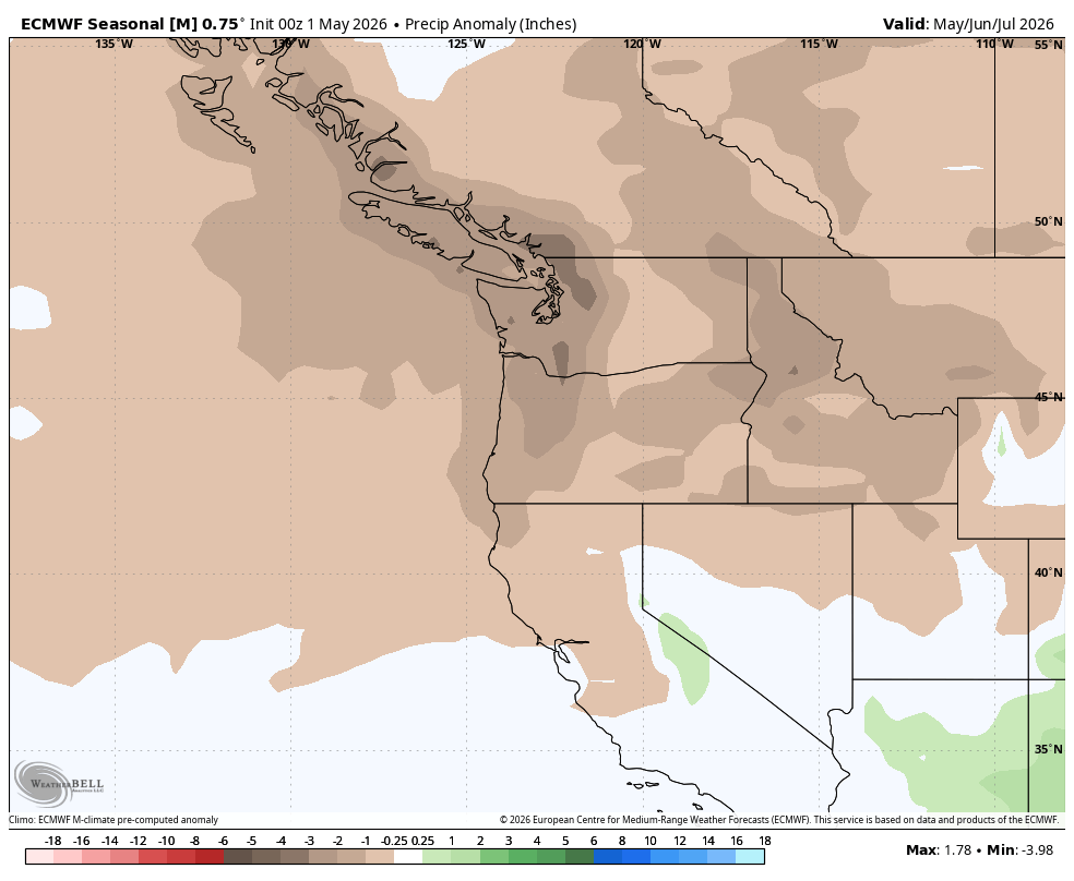
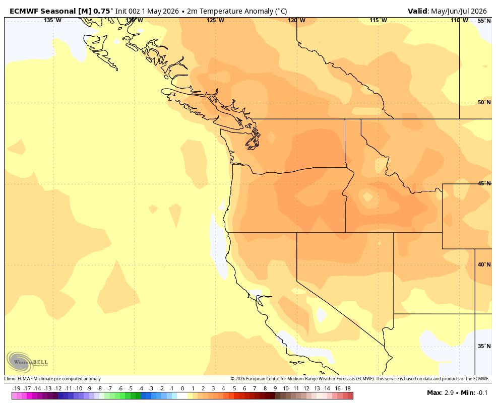
May/June/July well below normal precip signal, well above normal temp signal. What did we do to deserve this? #summer #fires #drought
Michael Snyder tweet mediaMichael Snyder tweet media
English
21
8
109
7.7K
Garret Hartung
Garret Hartung@HartungWx·
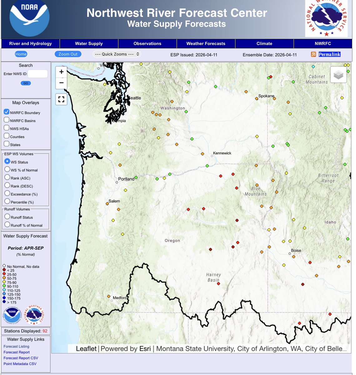
@LocalClim @SeattleWXGuy @CliffMass It is an improvement from last year but still it’s not a great water outlook and it will be tight for some. Oregon on the other hand is looking quite dire for some irrigators. The Columbia is really the only saving grace due to above normal snowpack in BC.
Garret Hartung tweet media
English
0
0
2
46
Garret Hartung
Garret Hartung@HartungWx·
@LocalClim @SeattleWXGuy @CliffMass Even with the next 10 days of precip included in this forecast the Yakima is forecasted to be well below average stream flow for April through July. 68% of normal for the Apr-Sept period. That’s why junior rights holders are only getting 52% of their entitlements per the USBR.
Garret Hartung tweet media
English
1
0
2
78
Garret Hartung
Garret Hartung@HartungWx·
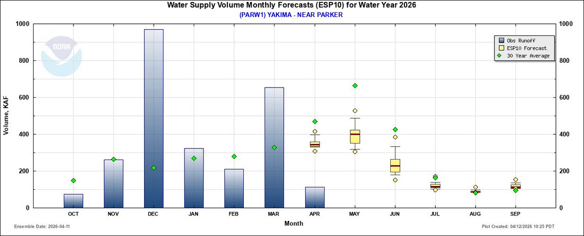
@StewarrMark @CliffMass Yakima at Parker monthly volume forecasts….sure the reservoirs are doing well now but they need to be topped off in June by melting snowpack or continuous above normal precipitation…either likey won’t happen. Effectively an early peak in res levels and stream flows.
Garret Hartung tweet media
English
0
2
11
1.4K
Garret Hartung
Garret Hartung@HartungWx·
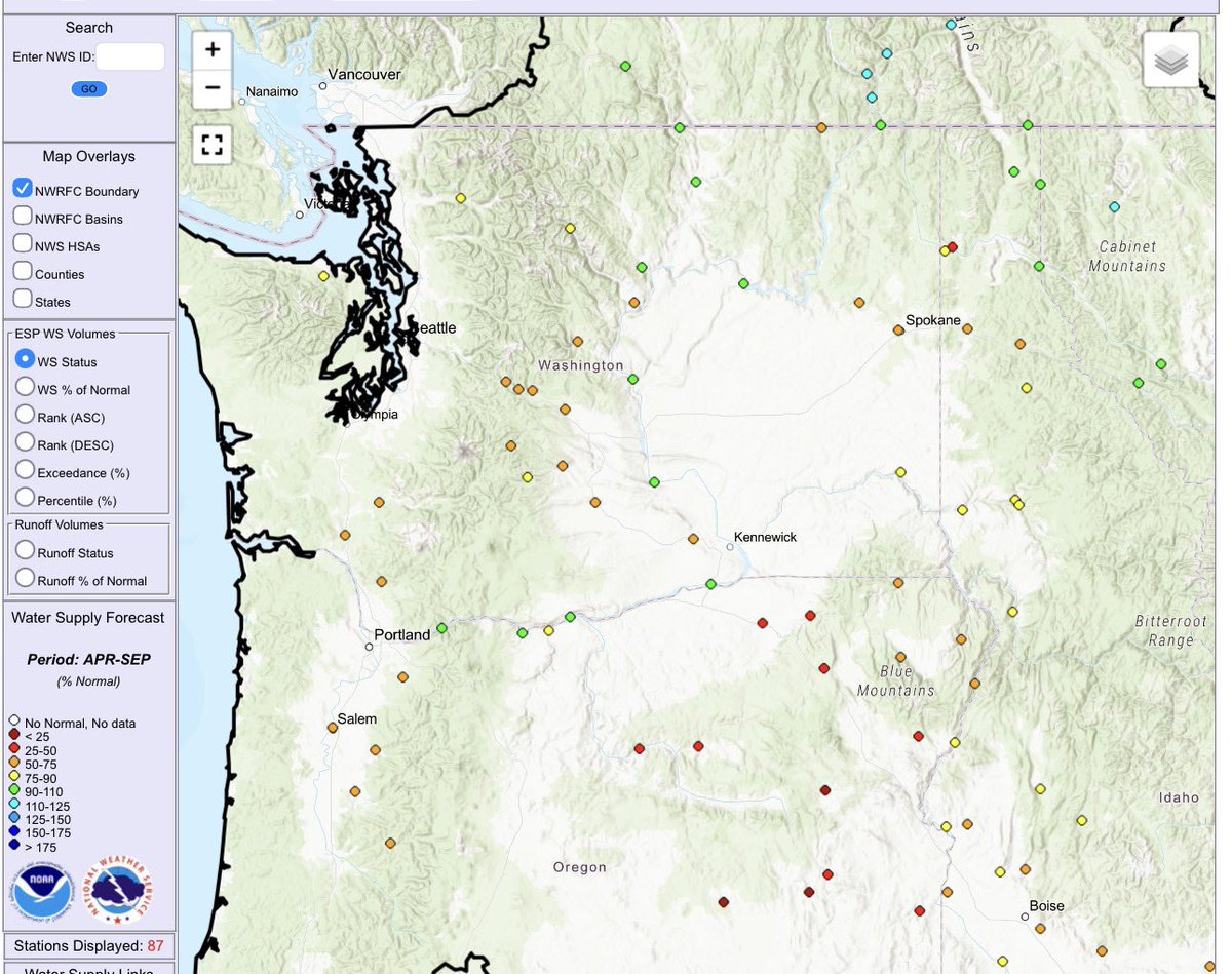
@StewarrMark @CliffMass “But the reservoirs are full” Here are the APR-SEP stream flow forecasts as a % of normal. We are lucky that snowpack did well in BC to support the Columbia but otherwise most rivers in the NW are expected to see below normal flow, especially in the mid to late summer.
Garret Hartung tweet media
English
1
5
23
2.3K
Jonathan Pulley
Jonathan Pulley@WhidbeyWXGuy·
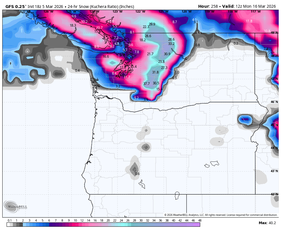
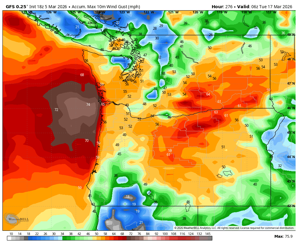
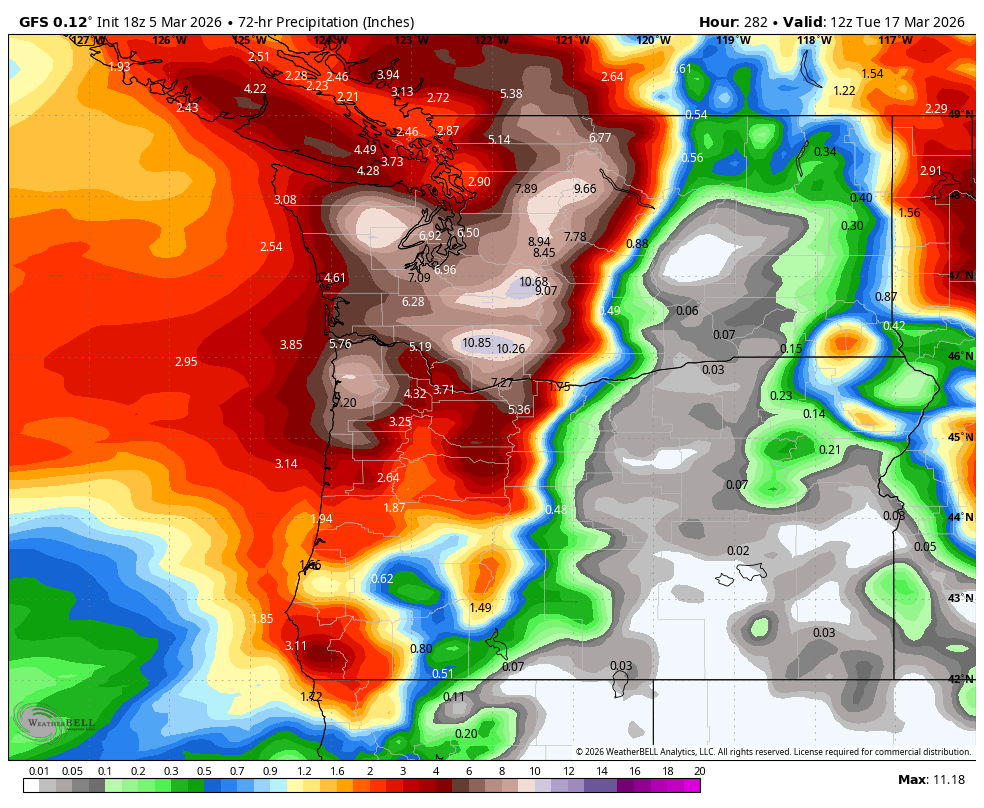
Just for fun, let's take a look at this afternoon's GFS model run. It brings a powerful storm in 9-11 days that brings a snowstorm, windstorm, AND a strong atmospheric river to the PNW. It drops over a foot of snow on Seattle before rapidly changing as strong winds (50-70mph) move warm air over the region leading to heavy rain and melting. I am curious to know, IF something like this were to happen, would you guys want it, or not? You can answer by voting in the poll below 👇 P.S. An active weather pattern looks to start up here soon, which I will have more posts about soon, but a solution like what the GFS is showing is VERY unlikely.
Jonathan Pulley tweet mediaJonathan Pulley tweet mediaJonathan Pulley tweet media
English
37
10
121
15.7K
Garret Hartung
Garret Hartung@HartungWx·
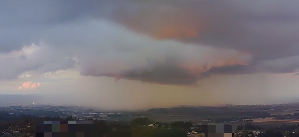
Video of the funnel cloud south of Dayton on 10/2 as captured by one of our PanoAI Wildfire cameras. These cameras allow us to keep track of new and existing wildfires as well as any other interesting weather events happening across the area. #orwx @portlandgeneral @NWSPortland
Garret Hartung tweet media
English
0
0
3
354
Garret Hartung
Garret Hartung@HartungWx·
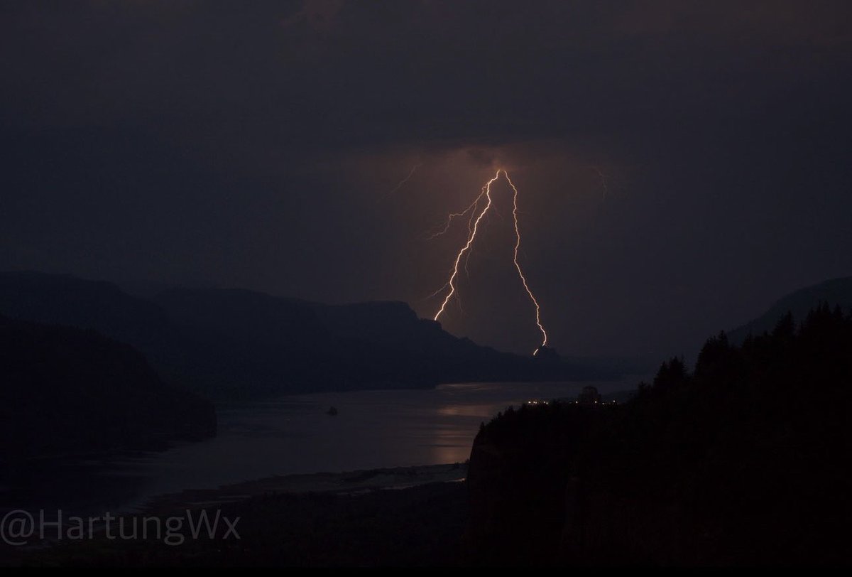
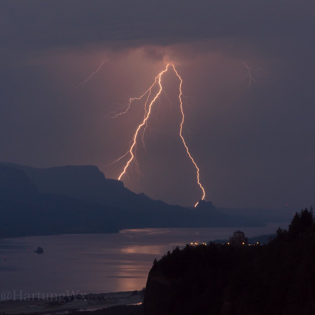
Lightning striking near Stevenson Washington around 8pm this evening #orwx #wawx
Garret Hartung tweet media
English
1
5
56
1.4K
Michael Snyder
Michael Snyder@SeattleWXGuy·
My Pacific Northwest Weather Watch and California Weather Watch Youtube Channels have been hacked and I cannot access them. I will be creating a new channel if I cannot recover this one ASAP. There are videos being posted that I did not create being posted! Please report the channel! #YouTube #Hacked
English
16
19
160
10.4K
Garret Hartung
Garret Hartung@HartungWx·
@MaxVelocityWX I believe this was raw pressure taken at an elevation of 1000ft. So MSLP was likely in the 985-988mb range. Still an intense low with a huge pressure rise occurring. KBJI jumped 11mb in 20 minutes and recorded a 106mph gust.
English
0
0
25
2.4K
Max Velocity
Max Velocity@MaxVelocityWX·
954.2mb of pressure was measured by TornadoPaigeyy and Bryce Shelton in Mayville, ND, within our wake low. This is comparable to a category 3 hurricane, and is also producing 110+ MPH winds!
English
17
151
1.5K
114.5K
Garret Hartung
Garret Hartung@HartungWx·
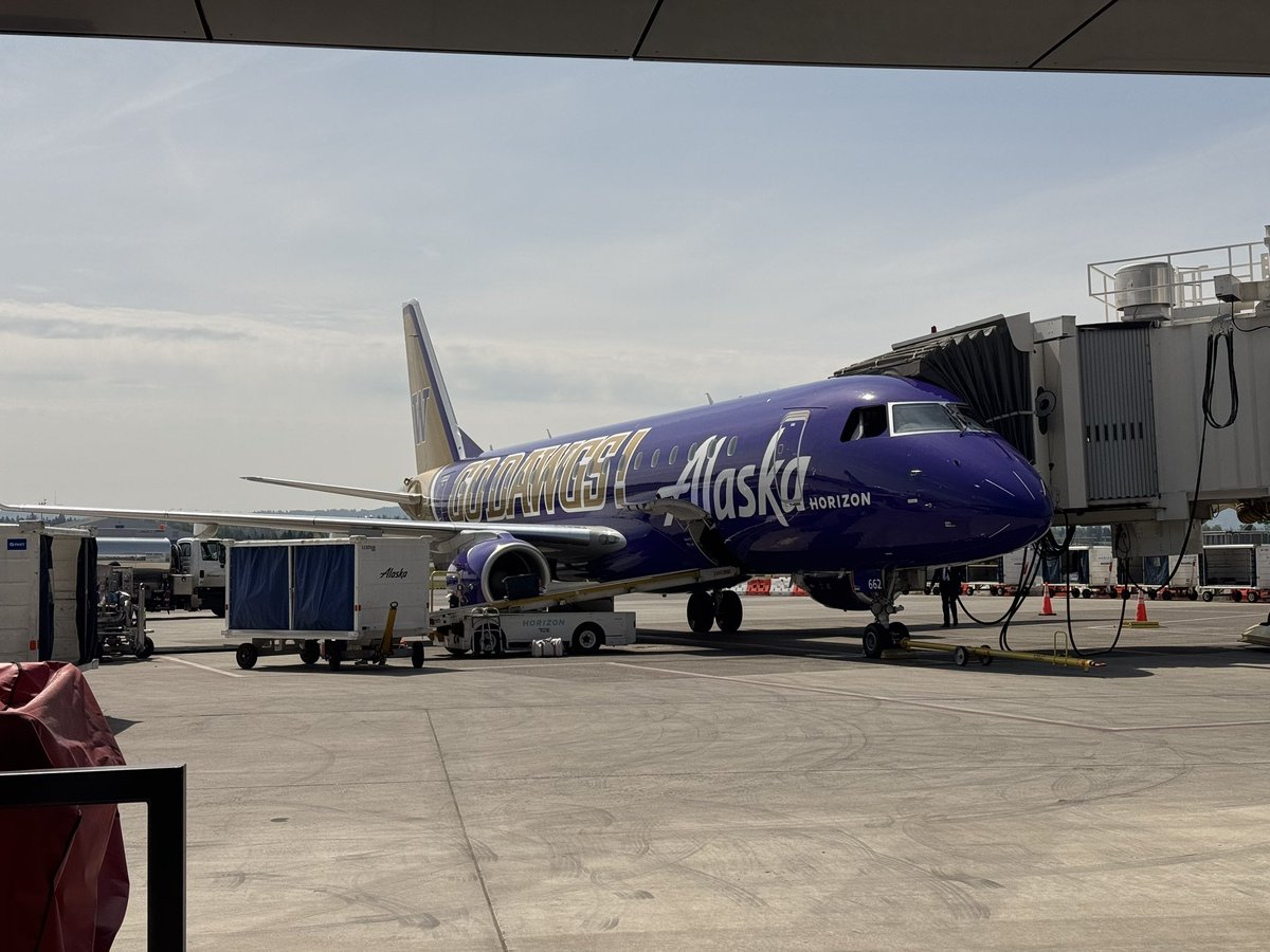
Of course I get the purple Alaska E-175 for my flight to ABQ…Gonna be storm chasing the next few days throughout the Great Plains and mid west. #gobeavs #wxtwitter
Garret Hartung tweet mediaGarret Hartung tweet media
English
2
1
14
532