Tareeroa4

8.5K posts

Tareeroa4

Tareeroa4

@LKan69

Katılım Temmuz 2018
381 Takip Edilen1.4K Takipçiler
Michael Ferragamo
Michael Ferragamo@FerragamoWx·
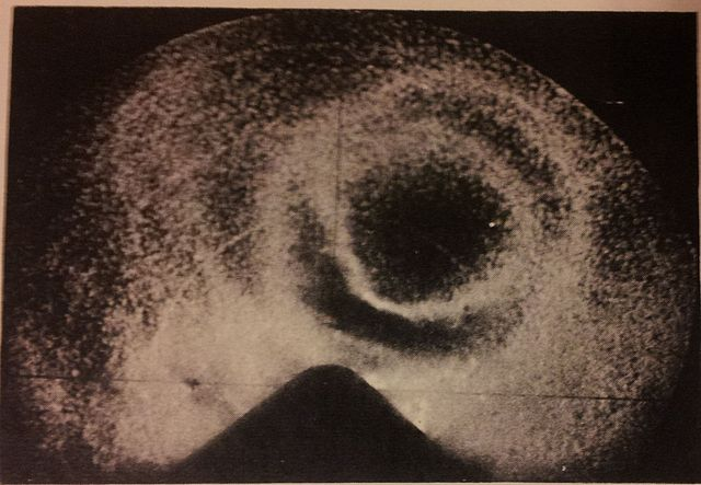
Found something super cool — surface weather maps from September 1953. Absolutely love these old maps. I’m even able to spot Hurricane CAROL off the coast of New England. So cool!
Michael Ferragamo tweet mediaMichael Ferragamo tweet mediaMichael Ferragamo tweet media
English
3
8
126
7K
Tareeroa4
Tareeroa4@LKan69·
@weather_history I’m surprised you haven’t done the New Orleans hurricane of 1915 yet, that hurricane hit southeast Louisiana on this day
English
0
0
0
54
Weather History
Weather History@weather_history·
September 29, 1966: Hurricane Inez, the strongest Atlantic hurricane of 1966, made landfall on Hispanola as a Category 5. The storm was one of the worst hurricanes on record for Haiti, as up to 1,000 people were killed and over $20 million in damage was left behind. #wxhistory
Weather History tweet mediaWeather History tweet mediaWeather History tweet mediaWeather History tweet media
English
1
3
30
2K
Tareeroa4
Tareeroa4@LKan69·
@MyRadarWX Is it possible to add the Rip Current risk on the map like this? To see if the ocean is safe for me to go swimming? And is it also possible to add Isobars too? It would be cool and helpful if we could see Isobars across the globe, along with the fronts layer too.
Tareeroa4 tweet mediaTareeroa4 tweet media
English
0
0
1
164
MyRadar Weather
MyRadar Weather@MyRadarWX·
We’re always striving to add new features! What do YOU want to see added to the app next? Let us know! ⬇️
Jason Safoutin@dragonfire1024

Wow. Thank you @MyRadarWX. I asked for it and surprisingly it was added. Thanks for adding the #drought monitor to your app. I didn't think It was going to happen. I have to say, I'm very impressed.

English
7
3
29
6.3K
Tareeroa4 retweetledi
Brian McNoldy
Brian McNoldy@BMcNoldy·
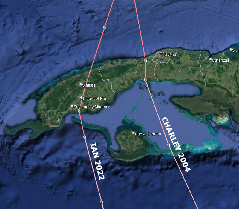
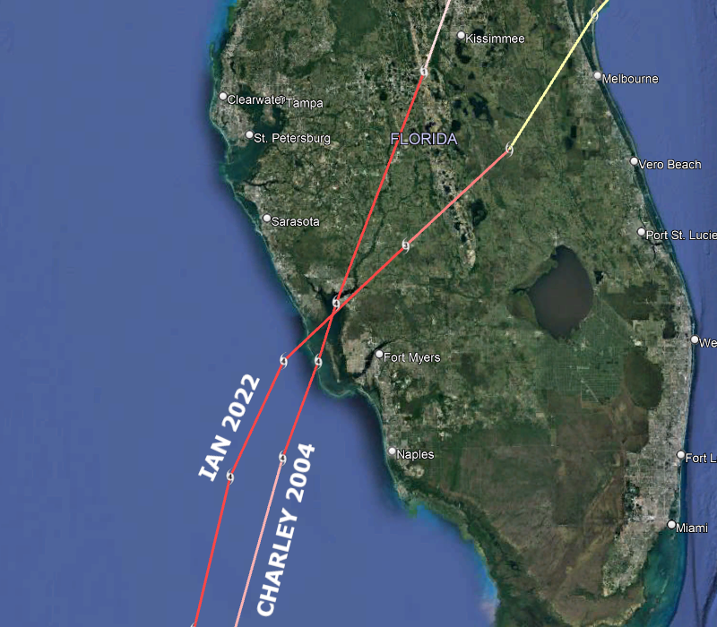
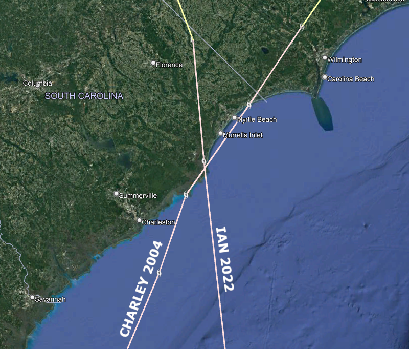
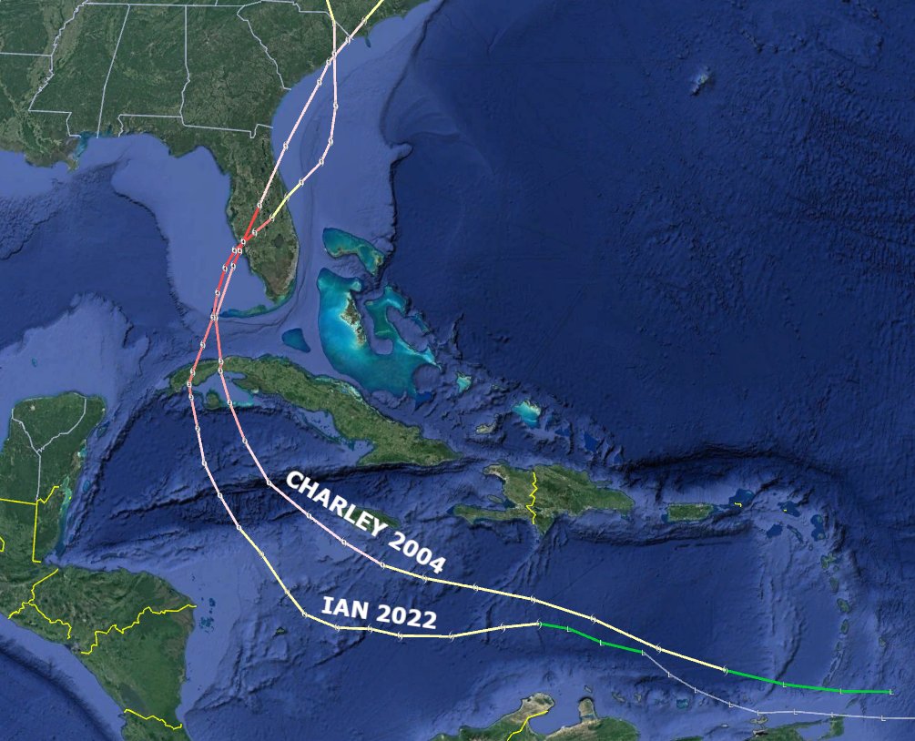
For posterity, the full tracks of #Charley 2004 and #Ian 2022, with zooms on their three landfalls, two of which were at identical locations. Pretty bizarre. Both were Category 3 hurricanes at #Cuba landfall, Cat 4s at #Florida landfall, Cat 1s at #SouthCarolina landfall.
Brian McNoldy tweet mediaBrian McNoldy tweet mediaBrian McNoldy tweet mediaBrian McNoldy tweet media
Biscayne Park, FL 🇺🇸 English
22
302
1.1K
0
Tareeroa4 retweetledi
Weather History
Weather History@weather_history·
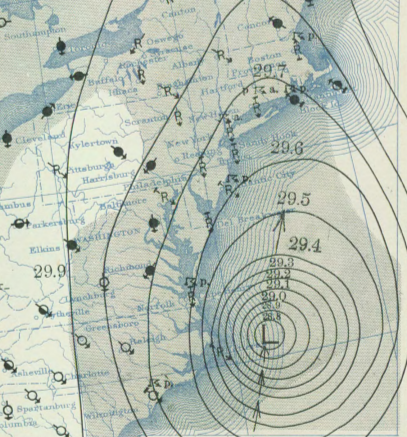
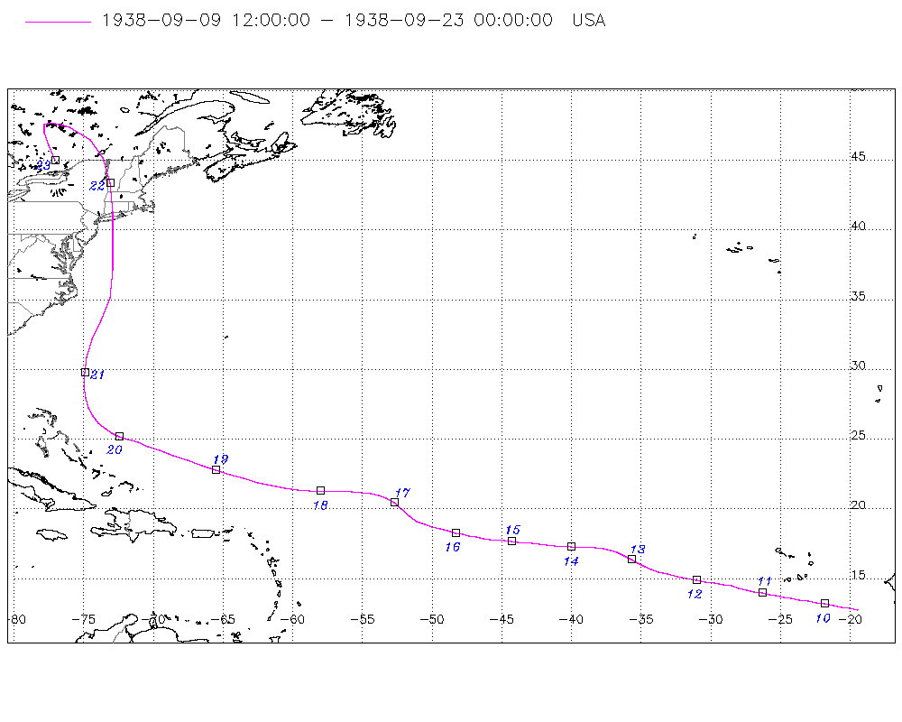
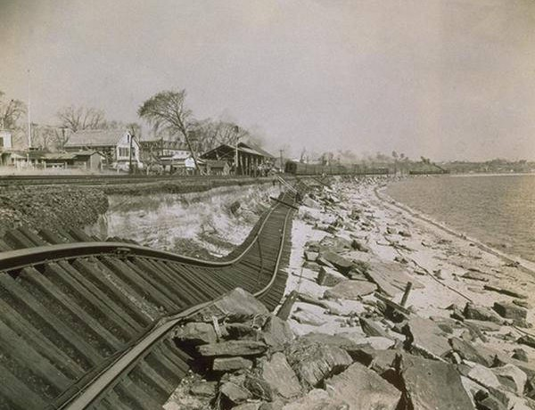
September 21, 1938: The "Long Island Express" hurricane slammed into New England. This storm remains one of the worst hurricanes in the Northeast's history. At least 600 people were killed and more than 50,000 structures were damaged or destroyed. #wxhistory
Weather History tweet mediaWeather History tweet mediaWeather History tweet mediaWeather History tweet media
English
1
13
46
0
Tareeroa4 retweetledi
Weather History
Weather History@weather_history·
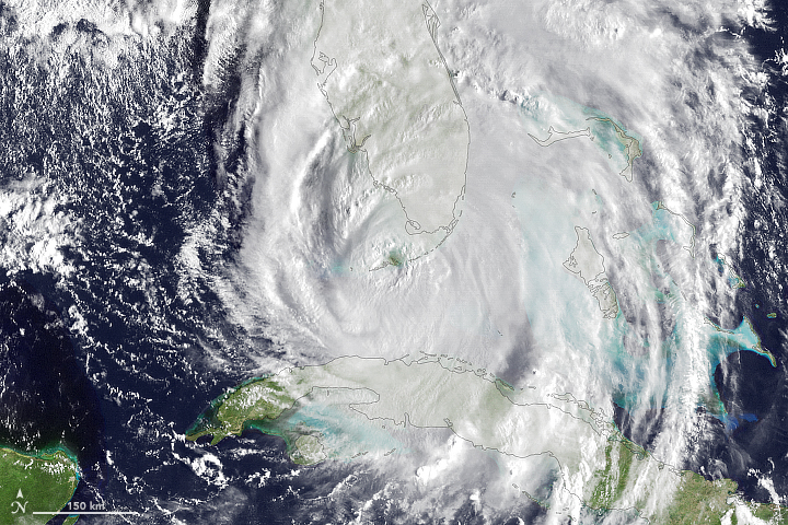
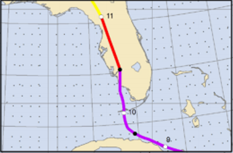
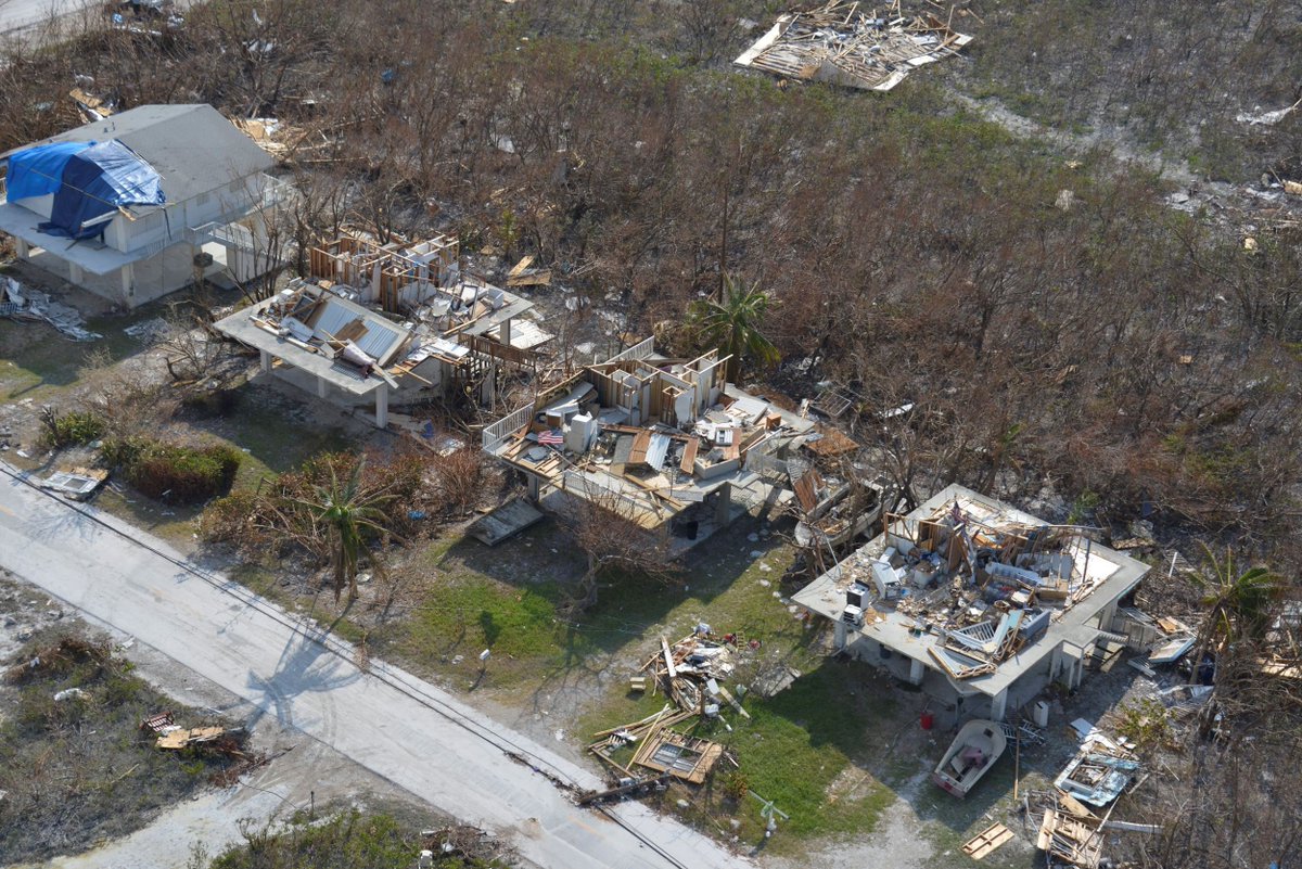
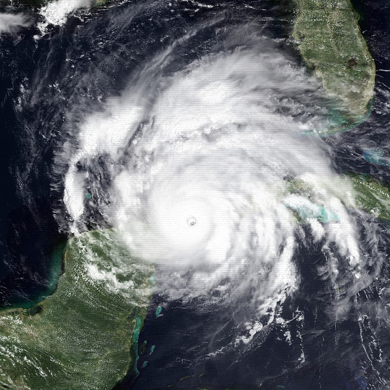
September 10, 2017: Hurricane Irma made landfall in Florida. The Keys archipelago, which was slammed by Category 4 winds and storm surge of 5-8 ft, saw thousands of structures damaged or destroyed. The storm then made a final landfall on the mainland as a Category 3. #wxhistory
Weather History tweet mediaWeather History tweet mediaWeather History tweet mediaWeather History tweet media
English
2
14
45
0
Tareeroa4 retweetledi
Weather History
Weather History@weather_history·
September 2, 1935: Florida was slammed by the infamous Labor Day hurricane. The Category 5 remains the most intense storm to have struck the US directly. Parts of the Florida Keys were completely devastated, with estimates putting the death toll over 400. #wxhistory
Weather History tweet mediaWeather History tweet mediaWeather History tweet mediaWeather History tweet media
English
1
11
26
0
Tareeroa4 retweetledi
Weather History
Weather History@weather_history·
August 8, 1899: Less than a year after the US acquired Puerto Rico, the island was slammed by a powerful Category 4 hurricane. The storm killed at least 3,000 people in the territory and laid waste to many communities. Up to 23" of rain reportedly fell in 24 hours. #wxhistory
Weather History tweet mediaWeather History tweet mediaWeather History tweet mediaWeather History tweet media
English
0
11
39
0
Tareeroa4 retweetledi
Weather History
Weather History@weather_history·
August 7, 1980: Hurricane Allen bottomed out at 899 millibars while moving through the Yucatan Channel in the southeastern part of the Gulf of Mexico. This was the second-lowest pressure ever recorded in the Western Hemisphere up to that time. #wxhistory
Weather History tweet media
English
4
13
49
0
Tareeroa4 retweetledi
National Hurricane Center
National Hurricane Center@NHC_Atlantic·
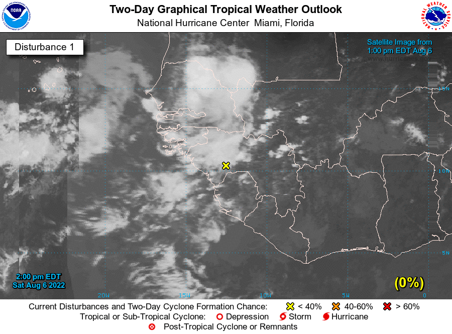
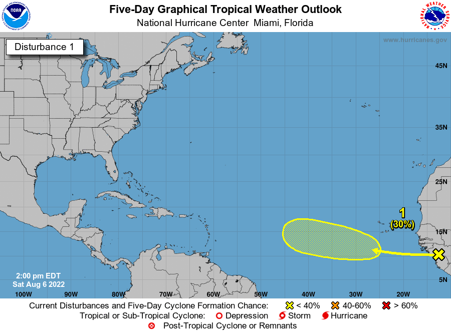
2 pm EDT Aug 6: A tropical wave is forecast to move off the west coast of Africa tonight or early Sunday. Gradual development of the wave is possible while it moves westward across the eastern and central tropical Atlantic through the middle of next week. nhc.noaa.gov/gtwo.php?basin…
National Hurricane Center tweet mediaNational Hurricane Center tweet media
English
30
218
496
0
Tareeroa4 retweetledi
Philip Klotzbach
Philip Klotzbach@philklotzbach·
For the first time since the morning of July 13, the Atlantic Tropical Weather Outlook from the National #Hurricane Center has an area of potential development in the next five days - 20% for a tropical wave emerging in the eastern Atlantic nhc.noaa.gov/mobile/refresh…
Philip Klotzbach tweet media
Highlands Ranch, CO 🇺🇸 English
10
67
203
0
Tareeroa4 retweetledi
Philip Klotzbach
Philip Klotzbach@philklotzbach·
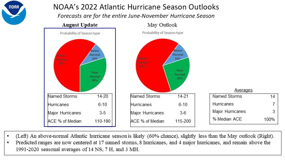
NOAA has updated their Atlantic seasonal #hurricane outlook, reduces numbers slightly but continues to call for above-normal season: 14-20 named storms 6-10 hurricanes 3-5 major hurricanes 110-190% of median Accumulated Cyclone Energy
Philip Klotzbach tweet media
English
5
26
70
0
Tareeroa4 retweetledi
Anthony M
Anthony M@AnthonyMweather·
The Atlantic has been quiet recently with large amounts of dry air dominating the basin but as we head into August climatology favors an uptick in activity. The modeled velocity maps look favorable mid-late august with large scale rising air over Africa and a suppressed pacific.
Anthony M tweet mediaAnthony M tweet mediaAnthony M tweet media
English
1
13
63
0
Tareeroa4 retweetledi
Treyce Jones
Treyce Jones@TreyceJonesWX·
We are currently transitioning into a more favorable MJO phase for the Atlantic Basin. However, dry air in the basin is expected to be a big inhibitor throughout most of this period. A few AOI’s/TC’s are still likely, but dry air should limit anything to significant. #tropics #wx
Treyce Jones tweet media
Sanibel, FL 🇺🇸 English
3
5
26
0
Tareeroa4 retweetledi
Weather force
Weather force@weatherforce11·
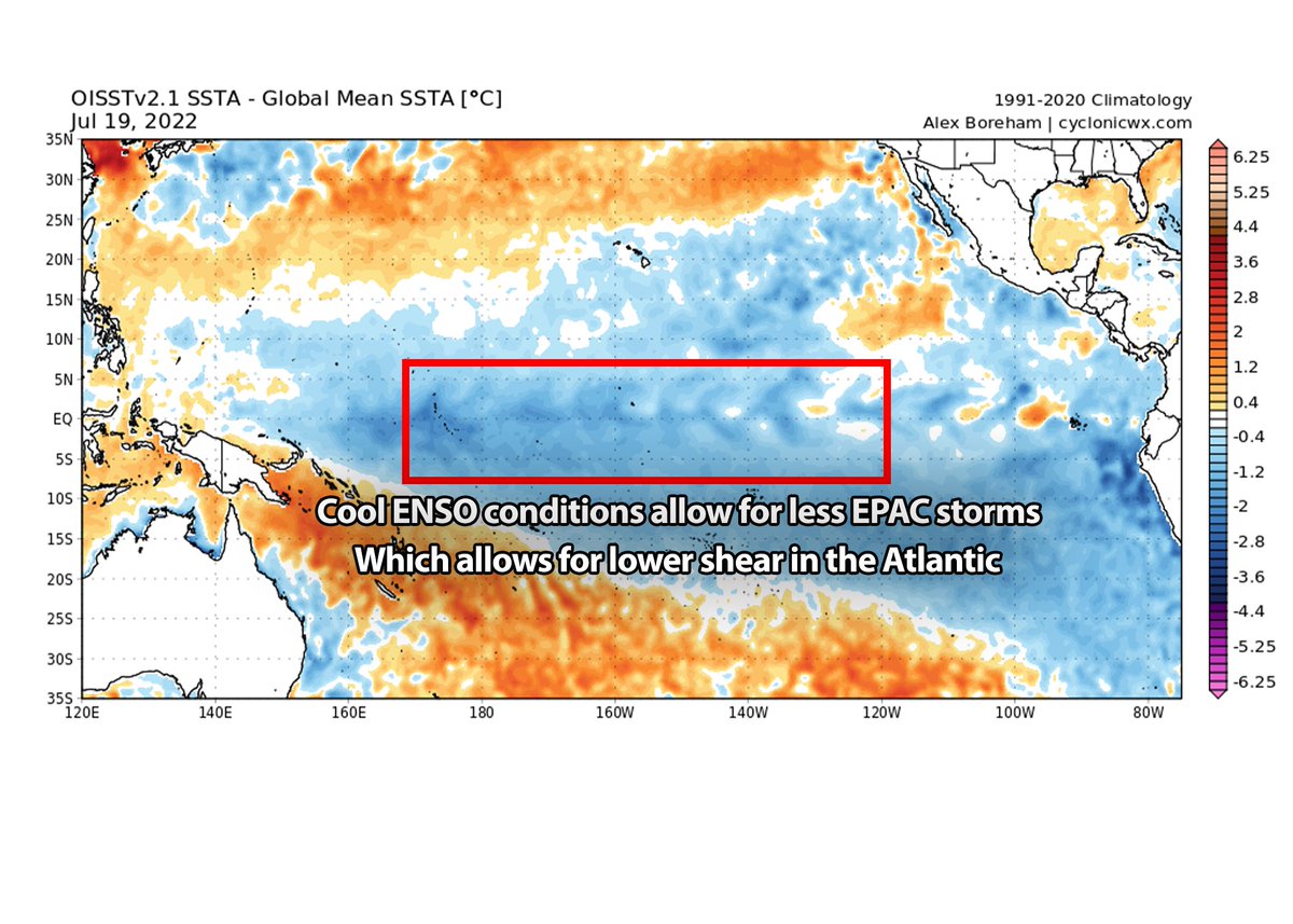
Time to look at what the rest of the 2022 Atlantic hurricane season could be like. Looking at the ENSO conditions, La Niña conditions exist for the 3rd year. This sets the stage for fewer EPAC storms and less shear across the Atlantic MDR.
Weather force tweet media
English
3
16
58
0
Tareeroa4 retweetledi
Andy Hazelton
Andy Hazelton@AndyHazelton·
Looks like an uptick in the 12Z EPS of members developing a weak system in the North Gulf this week. Will be interesting to monitor both models and observational trends as we start the week. Heavy rain seems likely either way.
Andy Hazelton tweet media
English
6
9
61
0
Tareeroa4 retweetledi
Treyce Jones
Treyce Jones@TreyceJonesWX·
The NHC has basically marked the entire northern Gulf, for possible tropical development this week. This is due to a stalled/decaying front, that’s expected to form a low, somewhere along the Gulf Coast. Still lots of uncertainty in regards to location and timing. #tropics #wx
Treyce Jones tweet media
Florida, USA 🇺🇸 English
0
6
42
0
Tareeroa4 retweetledi
Weather History
Weather History@weather_history·
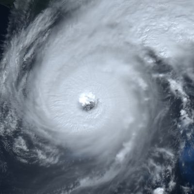
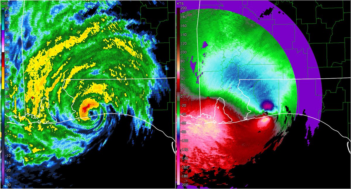
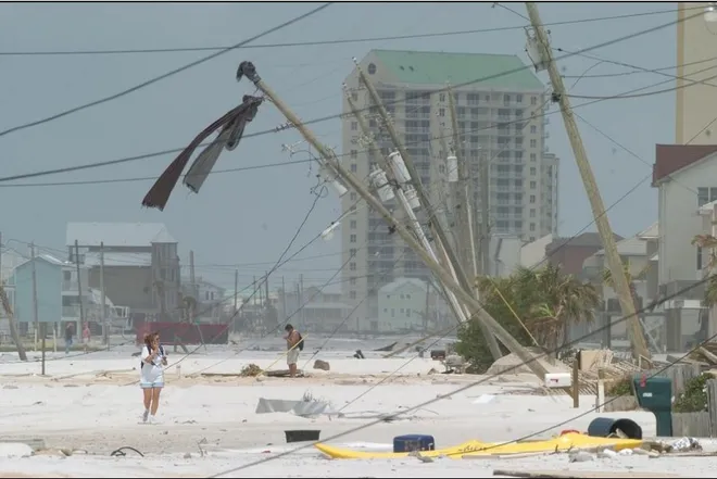
July 10, 2005: Hurricane Dennis made landfall near Navarre Beach, Florida, as a powerful Category 3 with winds of 120 mph. Storm surge up to 15 feet caused considerable damage on the coast, and rain totals over 7" caused major flooding inland. 15 people were killed. #wxhistory
Weather History tweet mediaWeather History tweet mediaWeather History tweet mediaWeather History tweet media
English
0
6
35
0
Tareeroa4 retweetledi
Philip Klotzbach
Philip Klotzbach@philklotzbach·
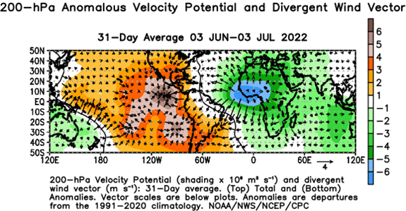
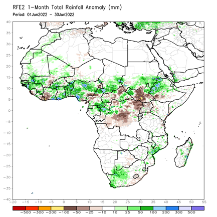
One reason for active Atlantic #hurricane seasonal forecast from CSU is due to robust West African monsoon so far. Stronger easterly waves and more conducive upper-level winds for hurricanes in the tropical Atlantic are typically associated with active monsoon
Philip Klotzbach tweet mediaPhilip Klotzbach tweet media
English
1
29
102
0
Tareeroa4 retweetledi
Michael Ferragamo
Michael Ferragamo@FerragamoWx·
Hurricane Bonnie has a cool track so far! Not often you see an Atlantic-Pacific crossover.
Michael Ferragamo tweet media
English
9
28
236
0