Sabitlenmiş Tweet

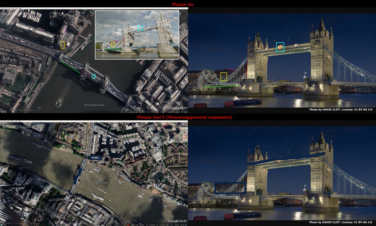
Best practice for verification of your geolocations
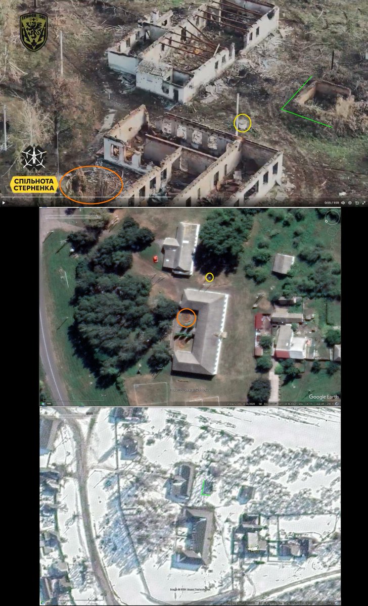
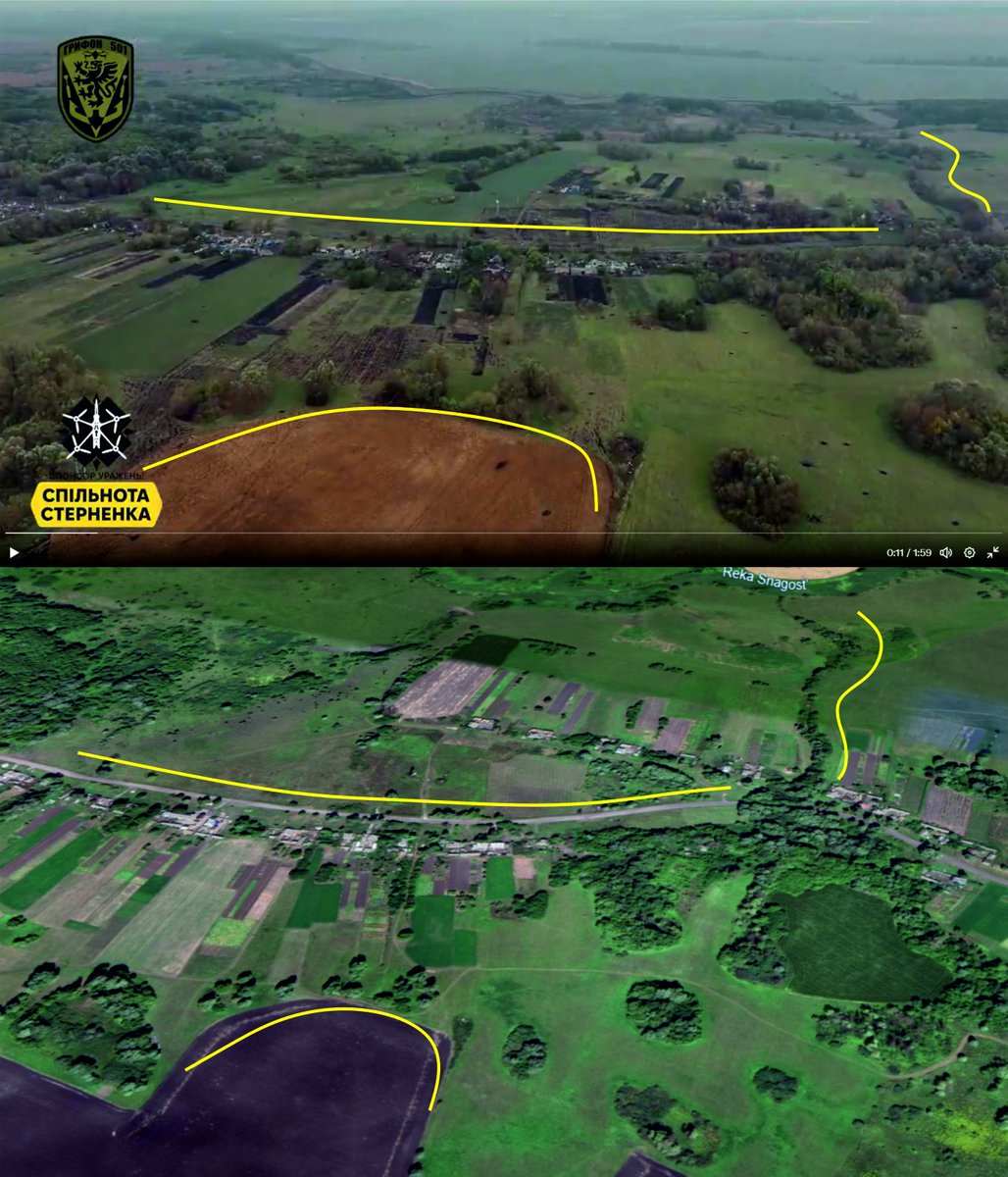
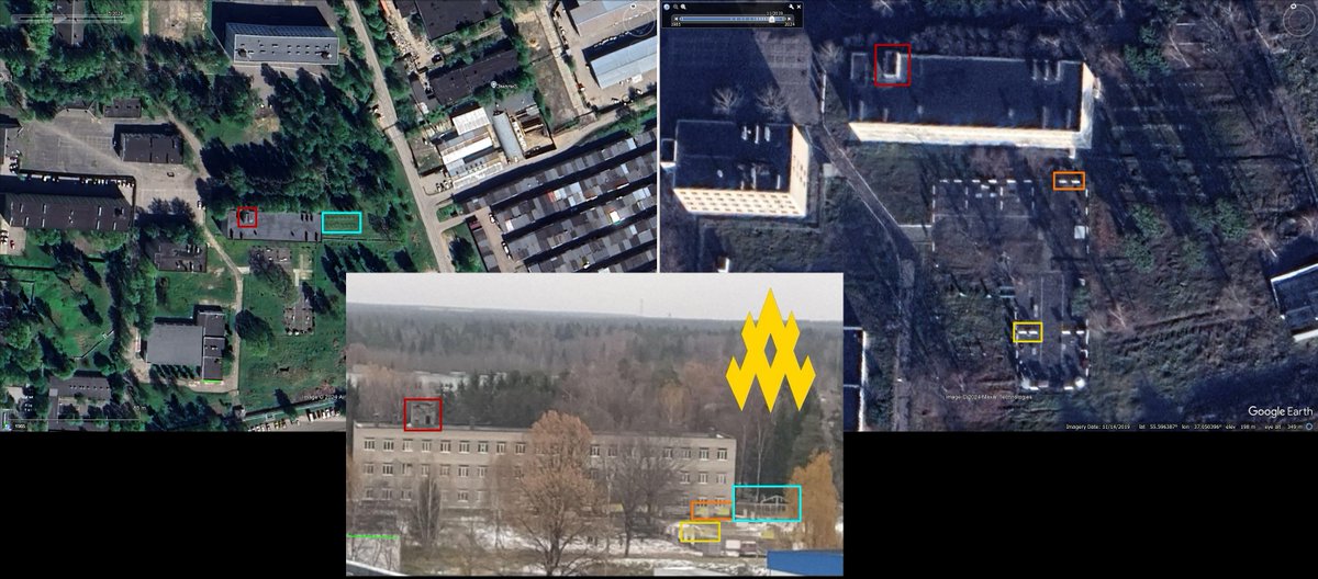
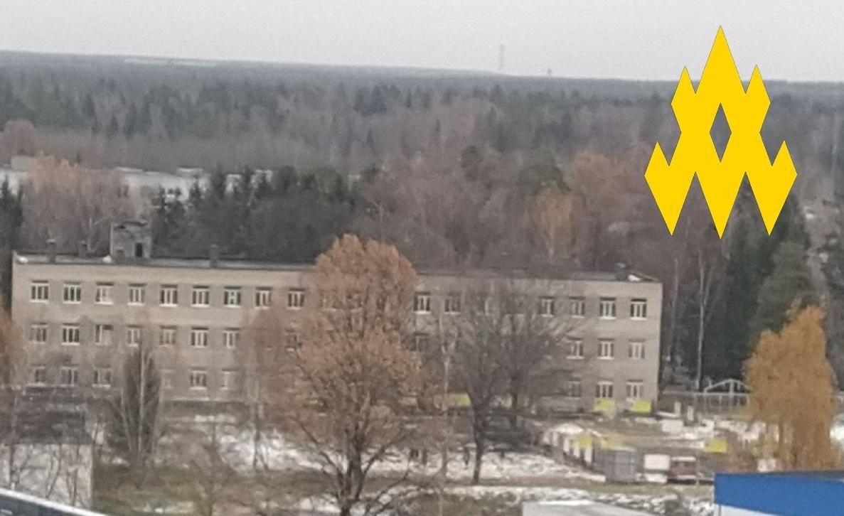
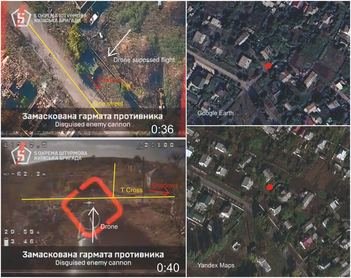
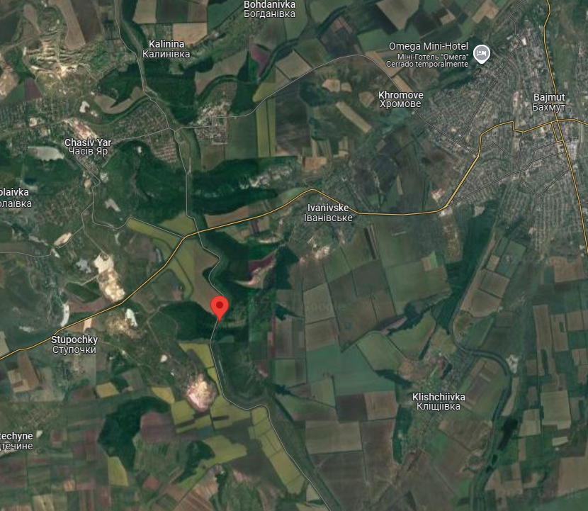
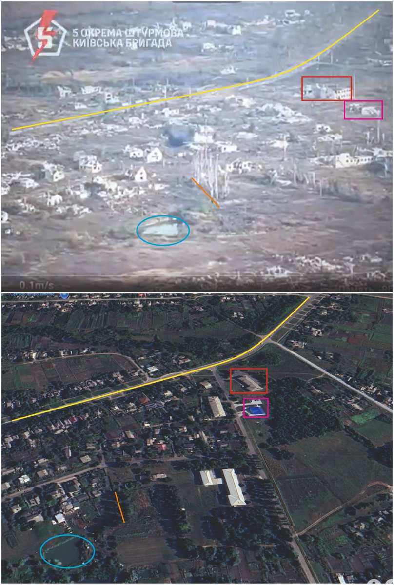
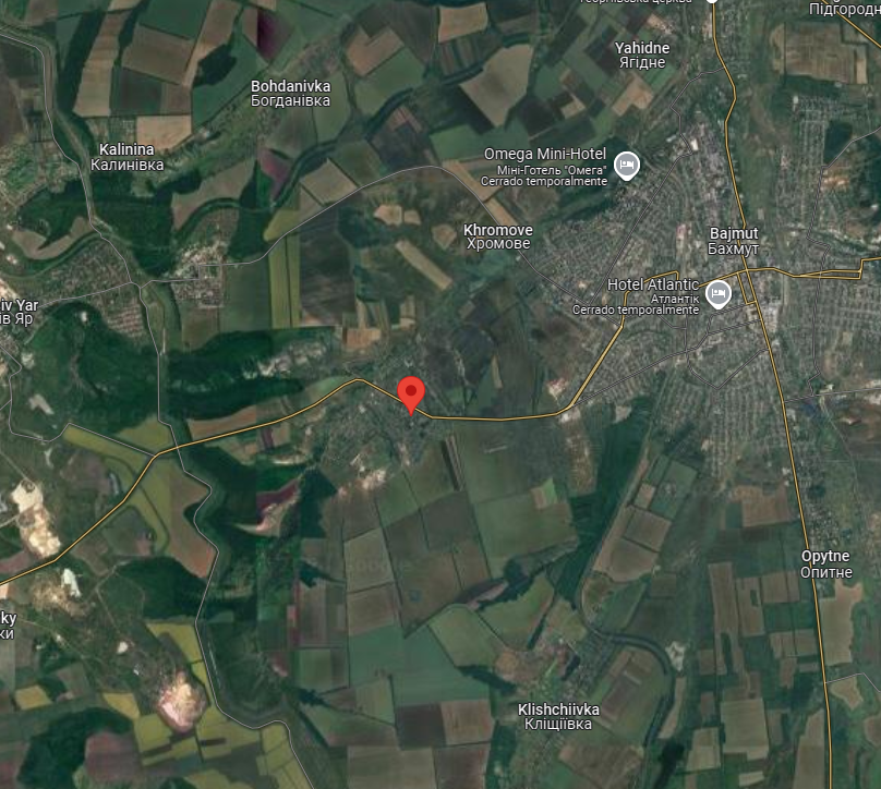
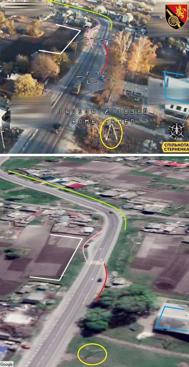
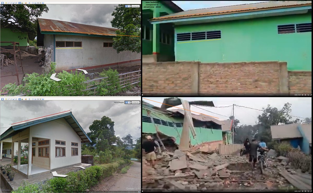
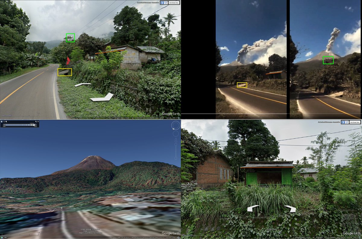
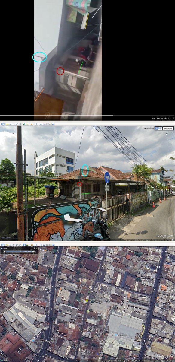
About your proof 1/4
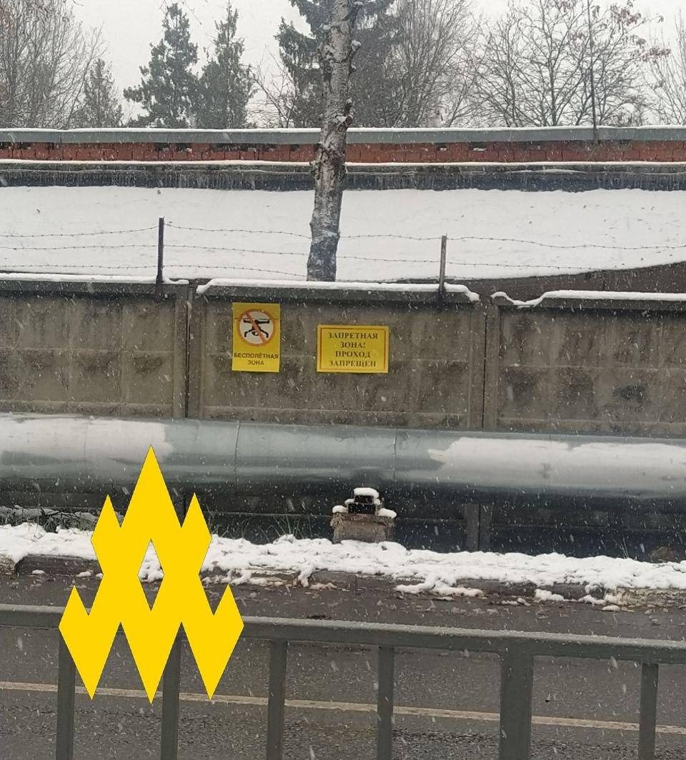
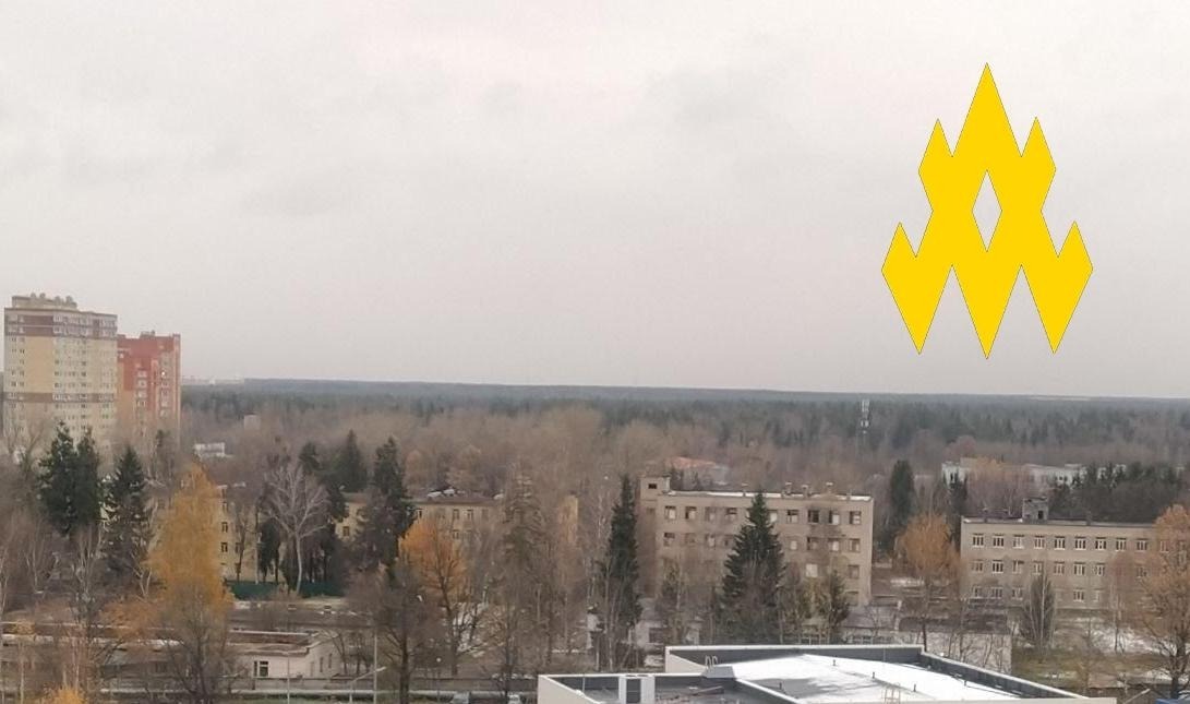
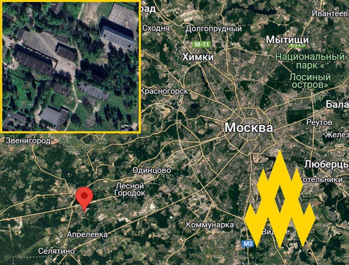
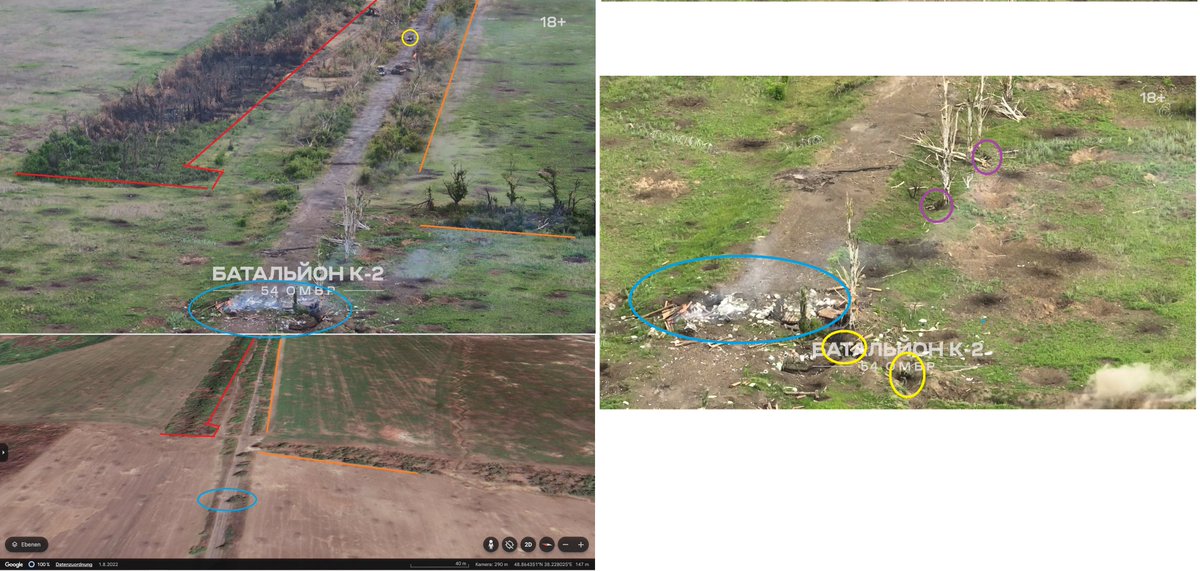
- Please don't cover the features you use for proof. Use a frame that is big enough to show the edges of the structure/feature you want to highlight.
English