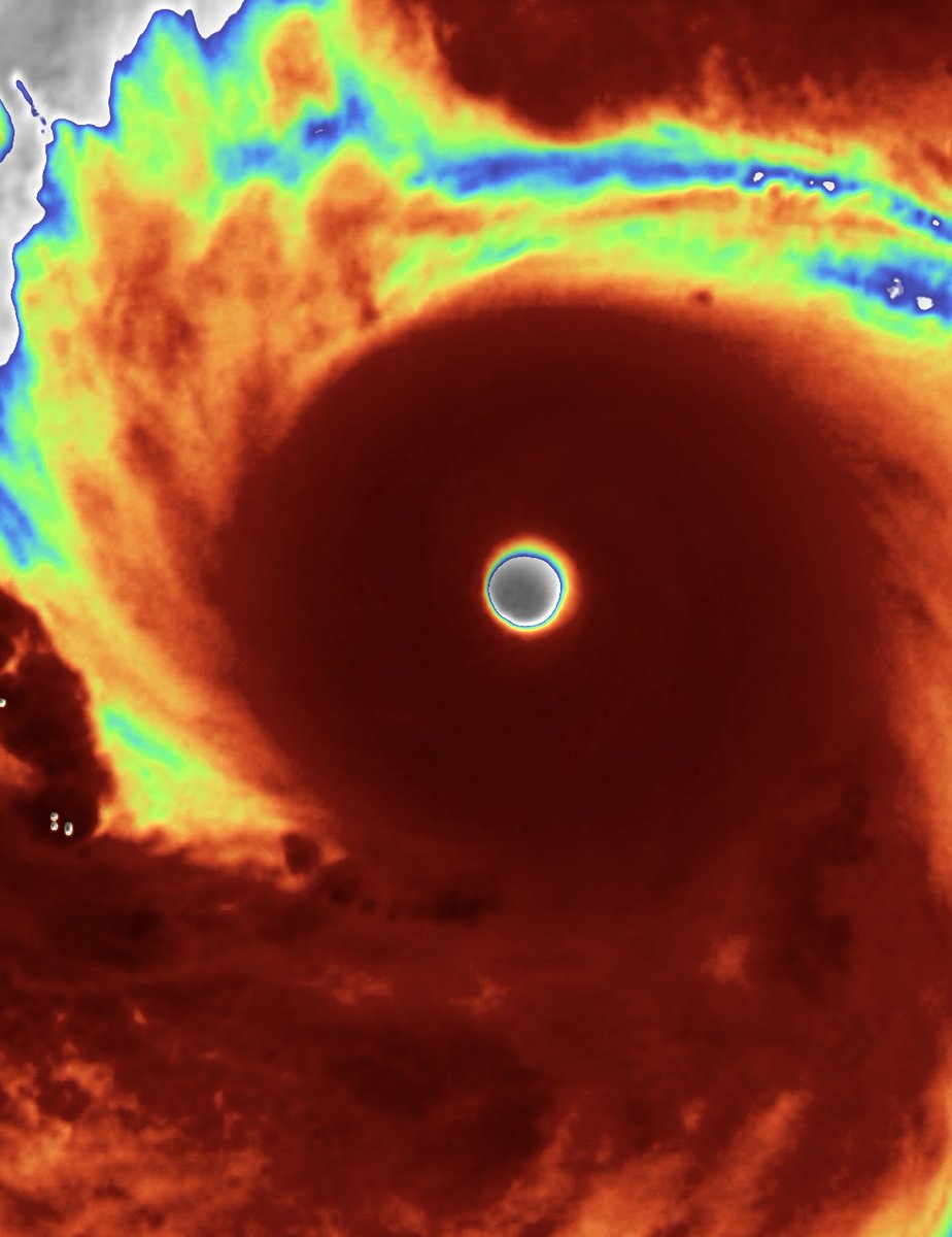
@IPTCWCDirector @PROLIFICSHlTTER @ChatterjeeSohum @FlynnJansenWX And Goni has way drier eye, especially during the pinhole peak
English
Ron SE
360 posts

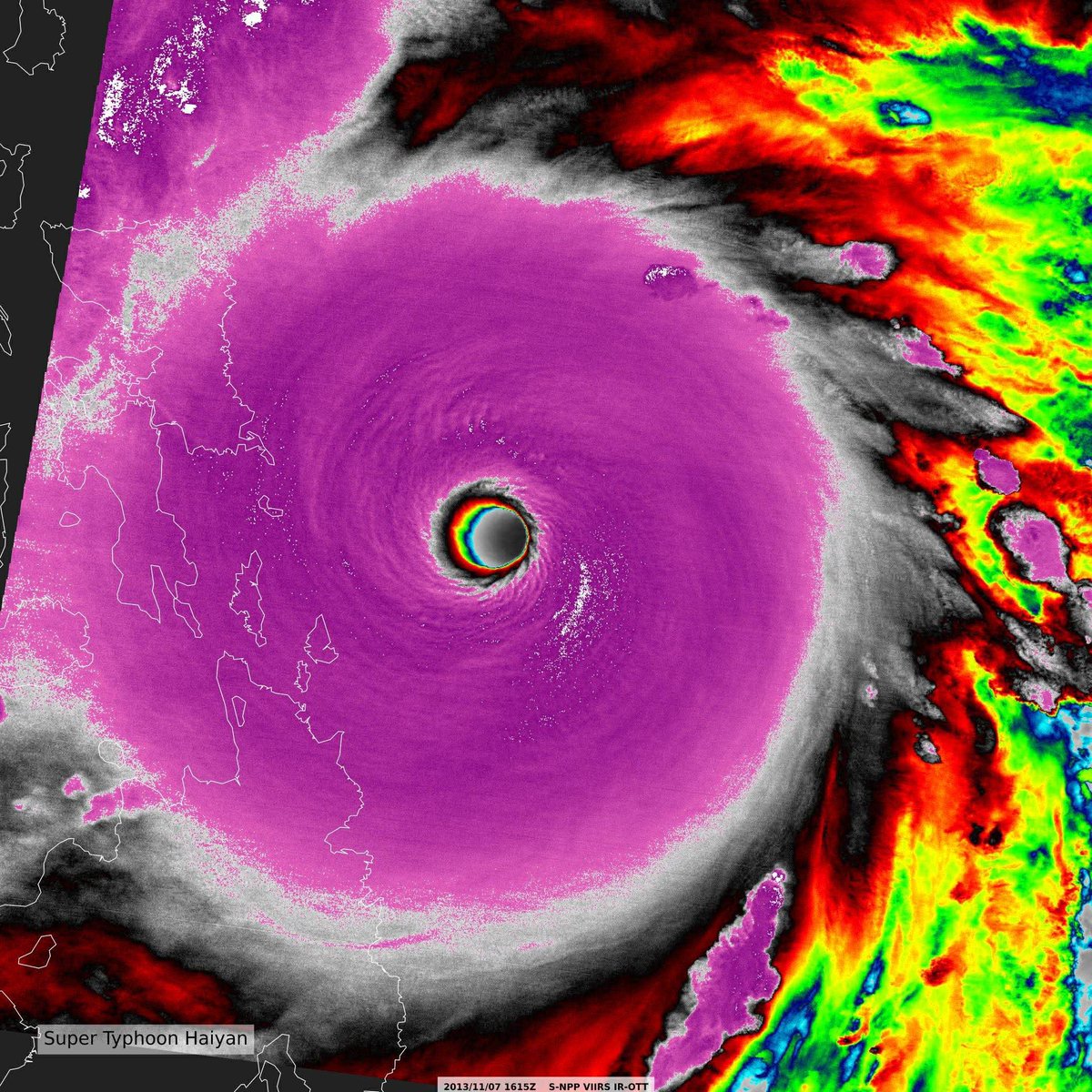
890hPa、170ktというのは今のドボラック法(衛星解析)で付けられる限界の強度だ


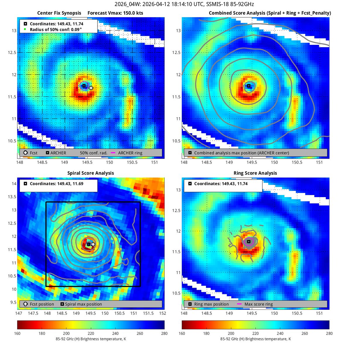
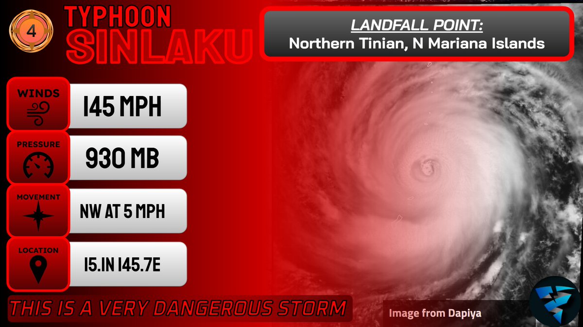
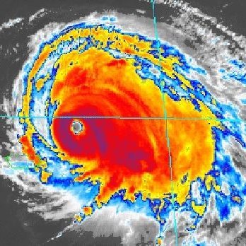
Super Typhoon #SINLAKU remains a Category 5 monster this afternoon. Unfortunately, it’s clear Saipan (population 43,000) and Tinian (2,000) will receive a direct strike or landfall tonight. Intensive preparations need to have been started yesterday.
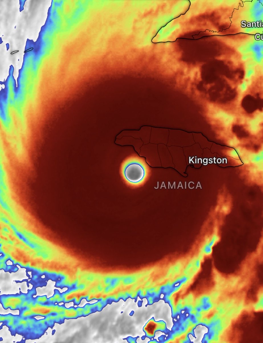

@EarthUncutTV One thing: WPAC cyclones typically have colder cloud tops than NATL ones, but that doesn't mean they're necessarily stronger. There've been papers on this. Between these, MELISSA looks stronger—it's more symmetric. If you're gonna bring sacred storms like MELISSA into it...😃