Talos IV
53.4K posts


@TalosIV_Pike Oh my! I will miss you!
Strider will be all grown up when you come back.
But, I respect that decision 100%
Stay well, my friend.
English

@TalosIV_Pike Have a great time and looking forward to see you back ❤️
English

@nowteslafy @theXtakeover Ty:)
Hope to meet you sometime!
Maybe a Tesla event.
English

@TalosIV_Pike Well, I'll miss you! If you don't return, I hope to see you at @theXtakeover
English


@TalosIV_Pike Community is no bad addiction, but I wish you well.
English


@kneubuehl Ty:)
I shouldn’t be on now, but I was organizing my screen and accidentally made the app disappear.
I think I’ll be organizing sock drawers next!
So booooring!😭
English

@TalosIV_Pike We'll miss you but that's a great goal! All the best 🙌
English


@TalosIV_Pike All the best, love.
If you don’t return, I hope to see you at a Tesla event. 🫶🏼
English

A break can be a much needed reset. I do hope it's not permanent!
I've been curious about that 40-day timespan that keeps popping up in ancient literature. Short enough to be endurable, long enough to have an impact. I'm playing with some reset ideas myself.
Best of success to you!
English
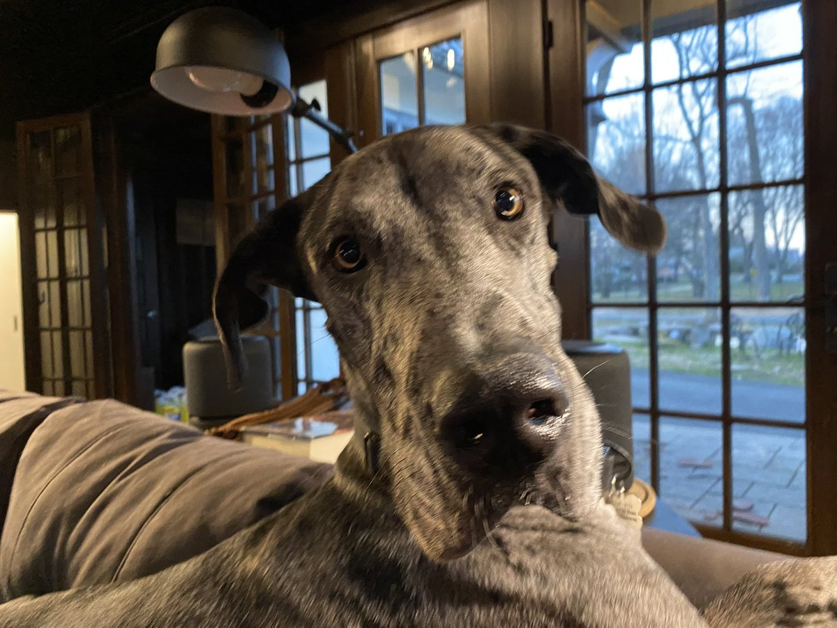
@timmerenginerd 💕Sully!
I lasted 40 minutes
😆
No seriously I am going to try this for 40 days.
I tried to move the app to a distant location and somehow it disappeared.
I ended up back here.
Ok!
Time to go.
English


Blended forecast model numerical output for potential snurfall accumulation over the next 60 hours or so pertaining to my update from 630am.
The stars are Denver, Cheyenne, Burlington, Pueblo, and Grand Junction for you geographically challenged and precious little chicken nuggets.
The key for accumulation is on the right hand side of the graphic.
Please for the love of Morgan Freeman and everything that is holy in this World, don’t accept this graphic as complete reality. It’s an estimation based on a mean average, and the message I want you to get out of this is understanding where the greatest impacts are expected to be.
An impactful winter storm is going to impact our friends in Wyoming and the Western Nebrasky Pandyhandle tonight, Thursday, and into Friday.
The Cheyenne Ridge (I-80) will be on the far southern fringes of these impacts. Can’t rule out impacts from rain, snow and wind as far south as northern portions of Larimer, Weld, Morgan, Phillips, and Sedgwick County.
Again, this is late tonight, into Thursday and into the first part of Friday.
Yes, snow is expected for portions of the foothills, I-25 corridor, and eastern plains.
The problem is an unfavorable storm track.
Best chance comes Thursday night into Friday and late Friday into Saturday.
Mountains are gonna mountain. We already know what’s gonna happen there. 🤣🍿
Best chance for southern Colorado along and south of Highway 50 onto the Raton Mesa to get rain & accumulating wet snow will come Friday and into Saturday.
I’ll be in nowcasting mode.
Again. 🤣
K bye 👋🏼

English
