Sabitlenmiş Tweet
🚨PRONÓSTICO 2024🚨
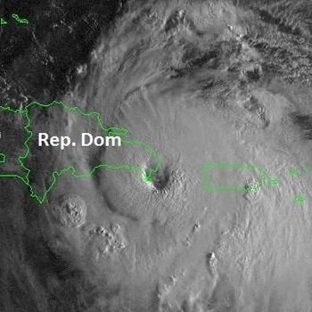
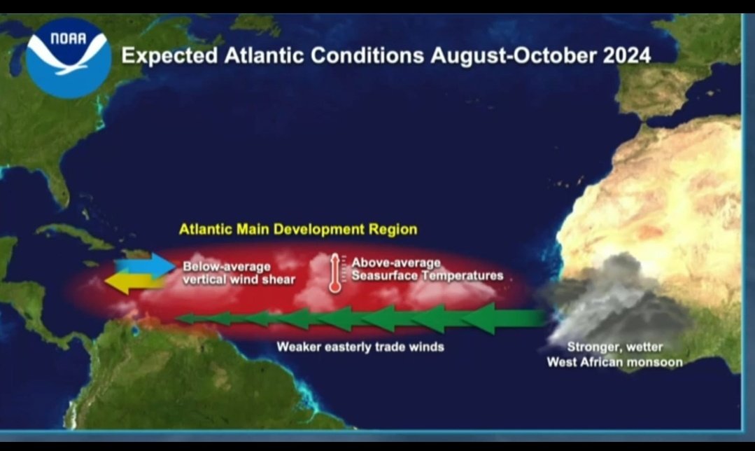
La NOAA acaba de publicar su primer pronóstico para la temporada de ciclónica 2024 y es el más violento en la historia para el mes de Mayo. Se espera inicialmente la formación de 17 a 25 Tormentas, 8 a 13 Huracanes y de 4 a 7 Mayores (cat 3 a 5).


Español