
Christina M

3.2K posts

Christina M banner
Christina M

Christina M

@WeatheringIt

Wondering at weather & tracking disasters. Works at @RedCrossCCR. Drinks tea everywhere. Note: Content and reactions are all mine. (she/her)

California Katılım Ocak 2010
852 Takip Edilen217 Takipçiler
Christina M retweetledi

VCFD PIO
VCFD PIO@VCFD_PIO·
Sandy Fire Air Monitoring Update - Due to the Sandy Fire’s proximity to the Santa Susana Field Laboratory (SSFL), hazardous materials and radiological monitoring teams continue proactive air quality and radiation monitoring operations around the fire area. Currently, seven air sampling radiological monitoring locations have been established surrounding the incident, including the Chatsworth, Lake Manor, Bell Canyon, Oak Park, and Simi Valley areas. These monitoring systems are being used to establish background environmental conditions and to continuously evaluate smoke and air quality conditions as firefighting operations continue. The Sandy Fire has NOT reached the Santa Susana Field Laboratory property, and there is currently no indication that any radiological material has been released from the site. The attached drone video shows the current fire perimeter in relation to the SSFL area. Public health and environmental agencies, including Ventura County Public Health, the Los Angeles County Department of Public Health, California Department of Toxic Substances Control (DTSC), Ventura County Air Pollution Control District, and the U.S. Department of Energy, remain actively engaged in monitoring conditions and supporting incident operations. The U.S. Department of Energy is supporting air monitoring operations around the SSFL out of an abundance of caution. Radiation measurements collected as recently as 2025, along with modeling conducted following the 2018 Woolsey Fire, continue to indicate that the extremely low levels of residual radioactive material at the site pose no risk to public health, even in the event wildfire activity reaches the area. The SSFL is located in an area historically prone to wildfires, including the 2018 Woolsey Fire. Following that fire, air, soil, and ash sampling conducted by DTSC did not detect the release of chemical or radiological contaminants from the site. Additionally, radiological assessments conducted by the Los Angeles County Department of Public Health found no discernible levels of radiation in tested areas surrounding the site. Residents can continue monitoring local smoke and air quality conditions using the AirNow Fire and Smoke Map: #12.41/34.22865/-118.75519" target="_blank" rel="nofollow noopener">fire.airnow.gov/?lang=en#12.41… About the video: The background map shows the drone location as a circle with a blue arrow. The blue line shows the flight path of the drone, while the moving polygon represents the area the drone camera is viewing. The left screen displays the thermal imaging view, and the right screen shows the normal video footage. This video demonstrates that the fire did not reach the Santa Susana Field Laboratory property. @CountyofLA @LAFDtalk @CountyVentura @SimiValleyPD @City_SimiValley @VENTURASHERIFF
VCFD PIO tweet mediaVCFD PIO tweet media
English
10
62
223
20.4K
Christina M retweetledi
American Red Cross Southern California Region
Our shelter at The Well Church (2700 W Johnston Ave, Hemet, CA 92545) remains open for those impacted by the #VeronaFire. Red Cross volunteers are providing a safe place to stay, along with meals and snacks, hydration, health services and more.
American Red Cross Southern California Region tweet media
English
1
2
1
296
Christina M retweetledi
Red Cross Central California
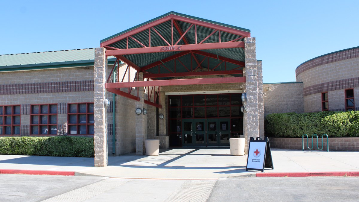
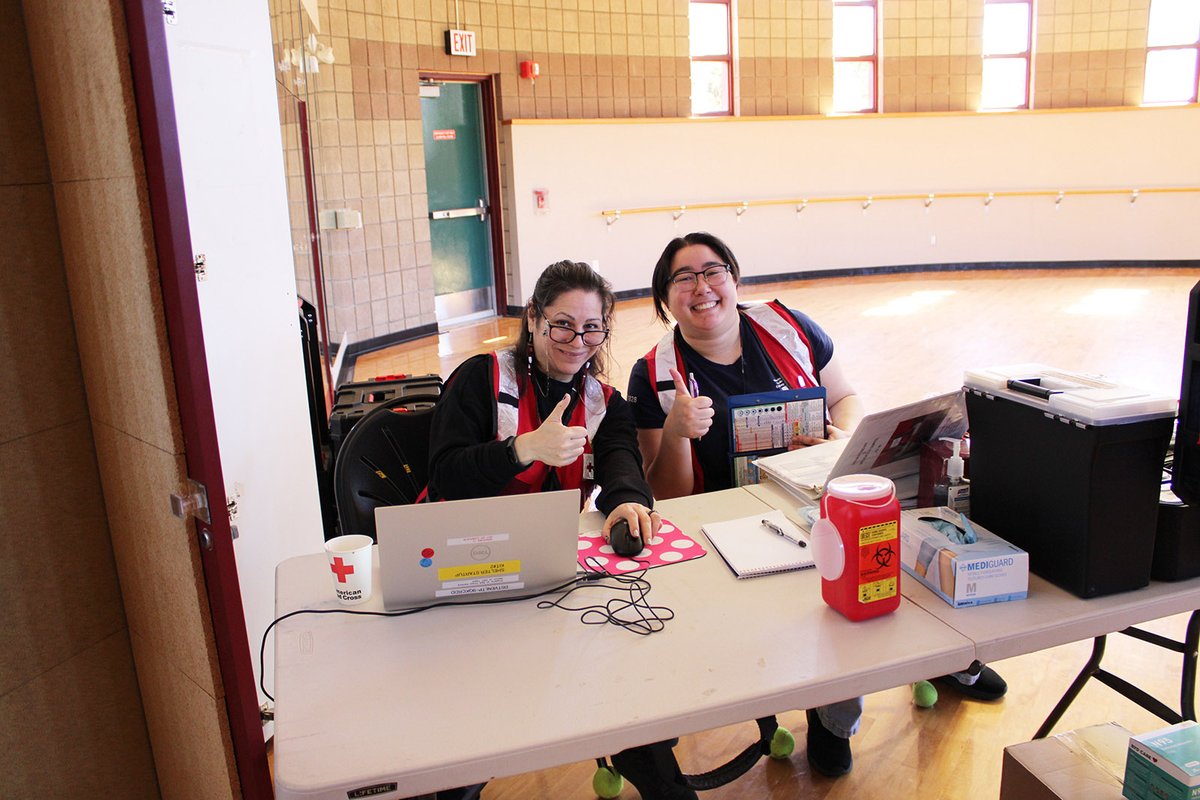
With evacuation orders for the #SandyFire being lifted, the shelter at Rancho Santa Susana Community Park is now closed. Thank you to our dedicated volunteers & partners who supported those affected by this fire. To stay informed about the fire, visit emergency.venturacounty.gov
Red Cross Central California tweet media
English
0
2
3
230
Christina M retweetledi
Red Cross Central California
Be cautious when returning home after a wildfire. Even if evacuation orders have been downgraded, dangers can remain. Download the free Red Cross Emergency App or visit redcross.org/wildfire for more safety tips about returning home after a wildfire. #SandyFire
English
0
1
3
178
Christina M retweetledi
American Red Cross Southern California Region
In response to several wildfires in our SoCal Region, we've opened shelters to support those impacted. Our volunteers are available to assist those displaced with a safe place to stay, meals, and more. For open shelter locations, visit redcross.org/shelters.
American Red Cross Southern California Region tweet media
English
0
5
3
272
Christina M retweetledi
Sugarbear weather media
Sugarbear weather media@sugarbearwx·
#Sandyfire An additional evacuation shelter has been established at Shepherd Church located at 19700 Rinaldi St, Porter Ranch, in the Family Life Center building — per the LA County Emergency Website. #cafire #wildfire
English
0
1
1
582
Christina M retweetledi
DanielFireCopter
DanielFireCopter@DanielFireTruck·
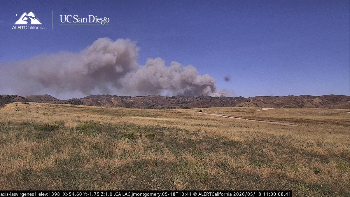
#FoothillFire The Fire is 5 acres, Moderate Rate of Spread, Potential for 200-300 acres. Anyone living at Castro Canyon Road is being advised of the Fire making a push over there and to possibly Evacuate the Area. Lead Bravo 15 and Air Tanker 15, 101 is overhead. This is now a 2nd Alarm Brush Fire.
DanielFireCopter tweet media
DanielFireCopter@DanielFireTruck

New Brush Fire Foothill Road, Southeast of New Cuyama, Santa Barbara County. Copters 308 & 964 are Assigned. #FoothillFire

English
0
3
11
2.3K
Christina M retweetledi
VC Human Services
VC Human Services@VCHumanServices·
Evacuation shelter at the Rancho Santa Susana Community Center in #SimiValley is still open to support residents impacted by the #SandyFire. Keep checking VCemergency.com for the updated list of evacuation zones, road closures, and more.
VC Human Services tweet mediaVC Human Services tweet mediaVC Human Services tweet mediaVC Human Services tweet media
English
0
9
5
593
Christina M retweetledi
VCFD PIO
VCFD PIO@VCFD_PIO·
#SandyFire Update: As temperatures rise and east winds continue, firefighters are seeing increased fire activity along the southern portion of the fire. The fire is currently burning in the direction of Albertson Fire Road in a remote area. More than 750 firefighters are assigned to the incident. Helicopters and bulldozers are actively working in the area to slow the fire’s spread and strengthen containment lines. Air tankers are also on order to drop retardant in front of the advancing fire. Residents are encouraged to continue monitoring emergency.venturacounty.gov for the latest evacuation information and incident updates. @CountyVentura @SimiValleyPD @City_SimiValley @VCAirUnit @Venturaoes
VCFD PIO tweet mediaVCFD PIO tweet media
English
12
51
201
24.6K
Christina M retweetledi
VCFD PIO
VCFD PIO@VCFD_PIO·
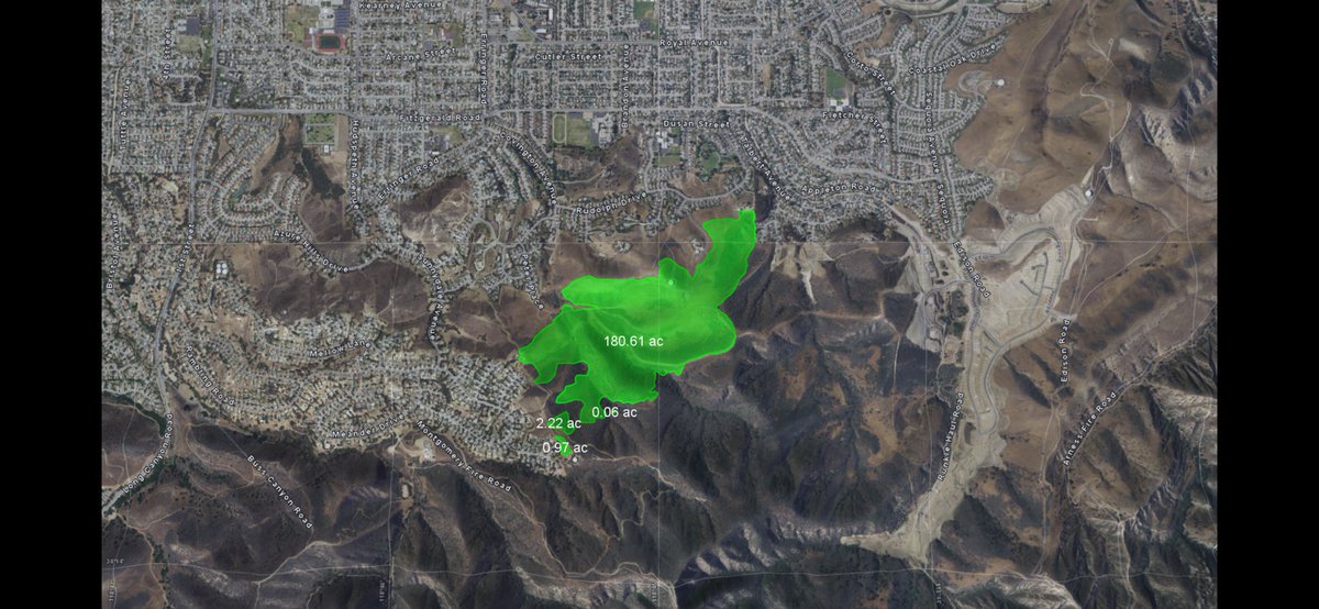
Ventura County firefighters are on scene of the Sandy Fire south of Simi Valley. The fire is approximately 184 acres, with 200 firefighters assigned. Firefighters are being supported by three air tankers and six helicopters conducting aggressive aerial suppression operations in coordination with ground crews. Evacuations are currently underway. At this time, there are four evacuation orders and three evacuation warnings in place. For the latest evacuation information and incident updates, visit emergency.venturacounty.gov
VCFD PIO tweet media
English
25
60
248
43.6K
Christina M retweetledi
California Wildfire Tracking
California Wildfire Tracking@CaliFireTracker·
#BREAKING Two additional type-1 strike teams (10 engines) have been requested for the #SandyFire, immediate need, per radio traffic. She is exploding in size. Very early in the year to be seeing this kind of activity.
California Wildfire Tracking tweet media
English
1
5
23
2K
Christina M retweetledi
KTLA
KTLA@KTLA·
#BreakingNews: Evacuations have been ordered due to a fast-moving brush fire burning in Simi Valley Monday morning. #sandyfire
English
37
182
727
90.8K
Christina M retweetledi
Kern County Fire
Kern County Fire@kerncountyfire·
#DesertFire #EvacuationUpdate UPDATE #3 Rosamond, Calif., ✅ This is an update to the Desert Fire. The evacuation order for Zone KRN-153-B and evacuation warning for and KRN-155 have been LIFTED. There are no further advisories at this time.
Kern County Fire tweet media
English
0
3
7
643
Christina M retweetledi
Red Cross Central California
Red Cross Central California@RedCrossCCR·
The @RedCross is opening an evacuation shelter for evacuees affected by the #DesertFire in @CountyofKern. 📍 Shelter: Hummel Hall, 2500 20th St W, Rosamond, CA 93560. ⛑️ Volunteers will provide safe shelter, meals/snacks, water & resources to evacuees & pets.
Red Cross Central California tweet media
English
1
3
3
373
Christina M retweetledi
Kern County Fire
Kern County Fire@kerncountyfire·
#DesertFire #EvacuationCenter UPDATE # 1 Evacuation Shelter Information This is an update to an earlier ReadyKern message about the Desert Fire in the area West of Rosamond area within Genasys Protect Zone KRN-153-B. An evacuation center has been set up at Hummel Hall 2500 20th St. West Rosamond Ca 93560. Animal Services will assist with sheltering companion animals at the center. If you have physical limitations and require evacuation assistance, please call the Aging & Adult Services hotline at 1-855-264-6565. We will not be able to guarantee assistance after 10:45pm. For those with access and functional needs, special needs sheltering equipment is available at opened shelter locations. This includes specialized cots, walkers, canes and wheelchairs. This doesnt include oxygen concentrators or medications. Follow the link and search zone KRN-153-B to view updates as they become available: protect.genasys.com/search
Kern County Fire tweet media
English
0
4
7
556
Christina M retweetledi
Red Cross Central California
Red Cross Central California@RedCrossCCR·
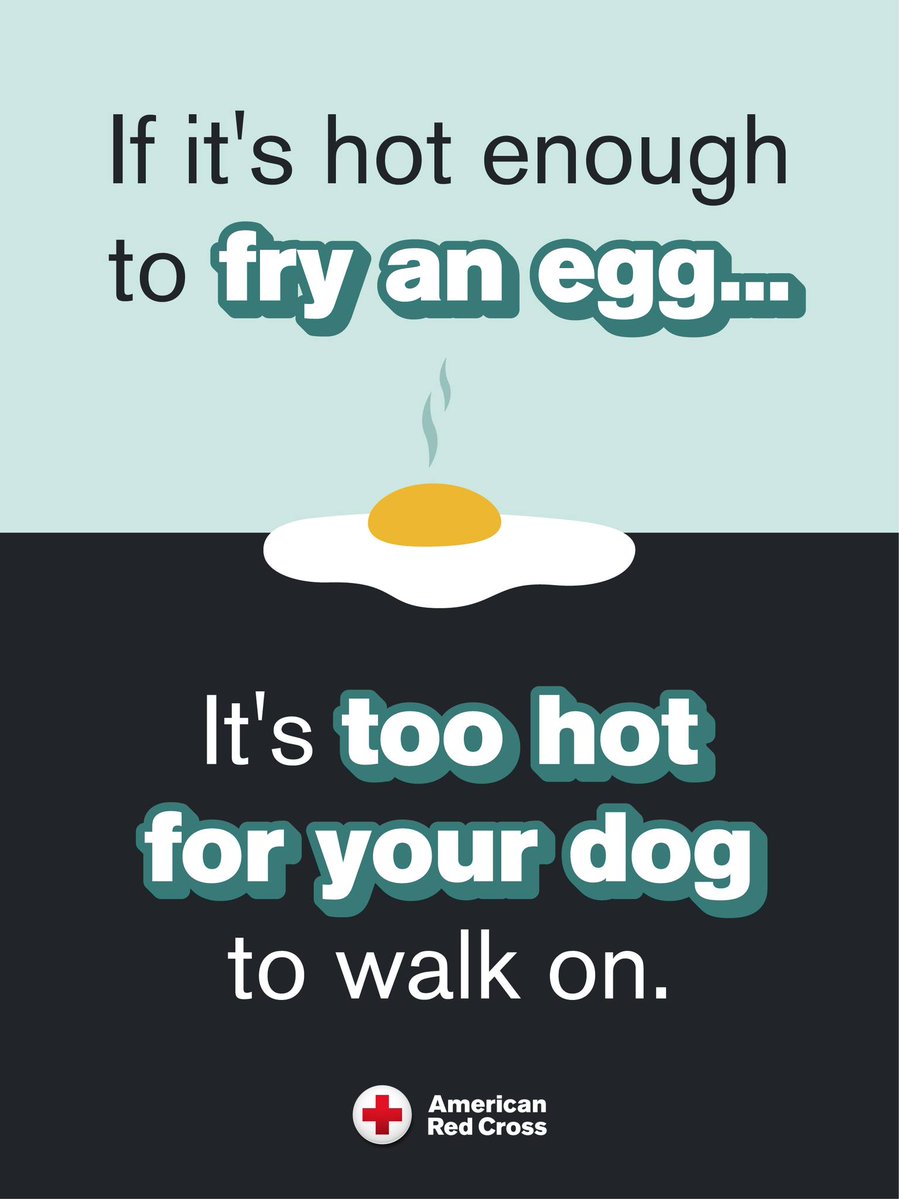
Before heading out for a walk with your dog, try the palm test: Press your hand to the pavement for 10 seconds. If it’s too hot for you, it’s too hot for them. To protect your pet during extreme heat, walk them during cooler hours like early mornings or evenings.
Red Cross Central California tweet media
English
0
1
3
55