ORBAT Mapper

1.1K posts

ORBAT Mapper banner
ORBAT Mapper

ORBAT Mapper

@orbatmapper

Loves maps, ORBATs and history. Working on a tool for recreating historic battles and military scenarios in the browser.

Katılım Mart 2023
456 Takip Edilen2.3K Takipçiler
ORBAT Mapper
ORBAT Mapper@orbatmapper·
@ThomasHalwax The UI is mostly for testing the library API I'm working on. I should probably make SVGs of the previews if I integrate this into a user facing tool
English
0
0
0
40
ORBAT Mapper
ORBAT Mapper@orbatmapper·
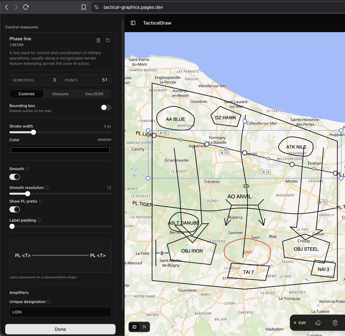
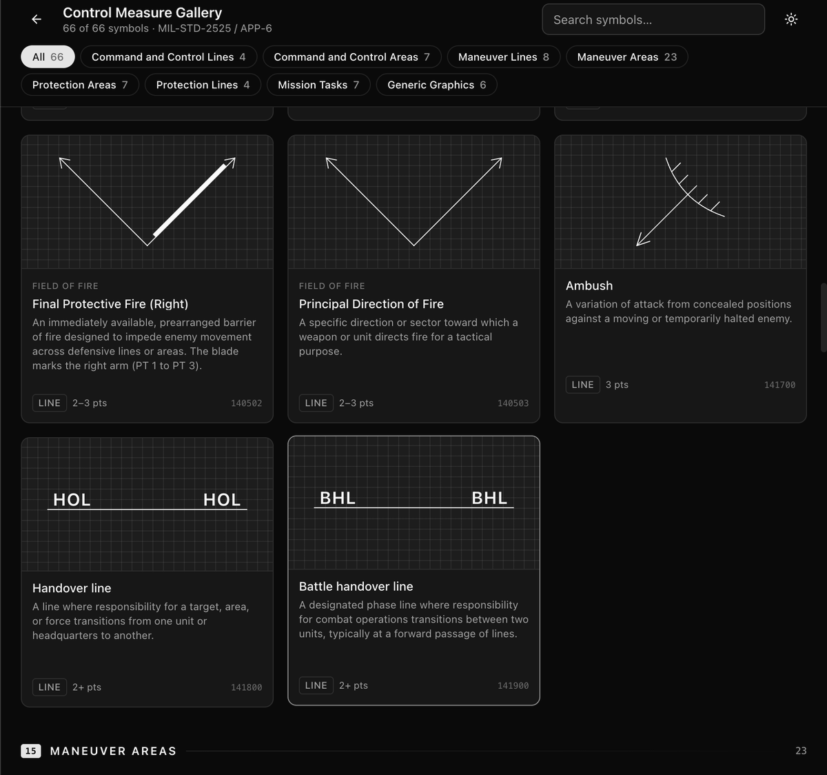
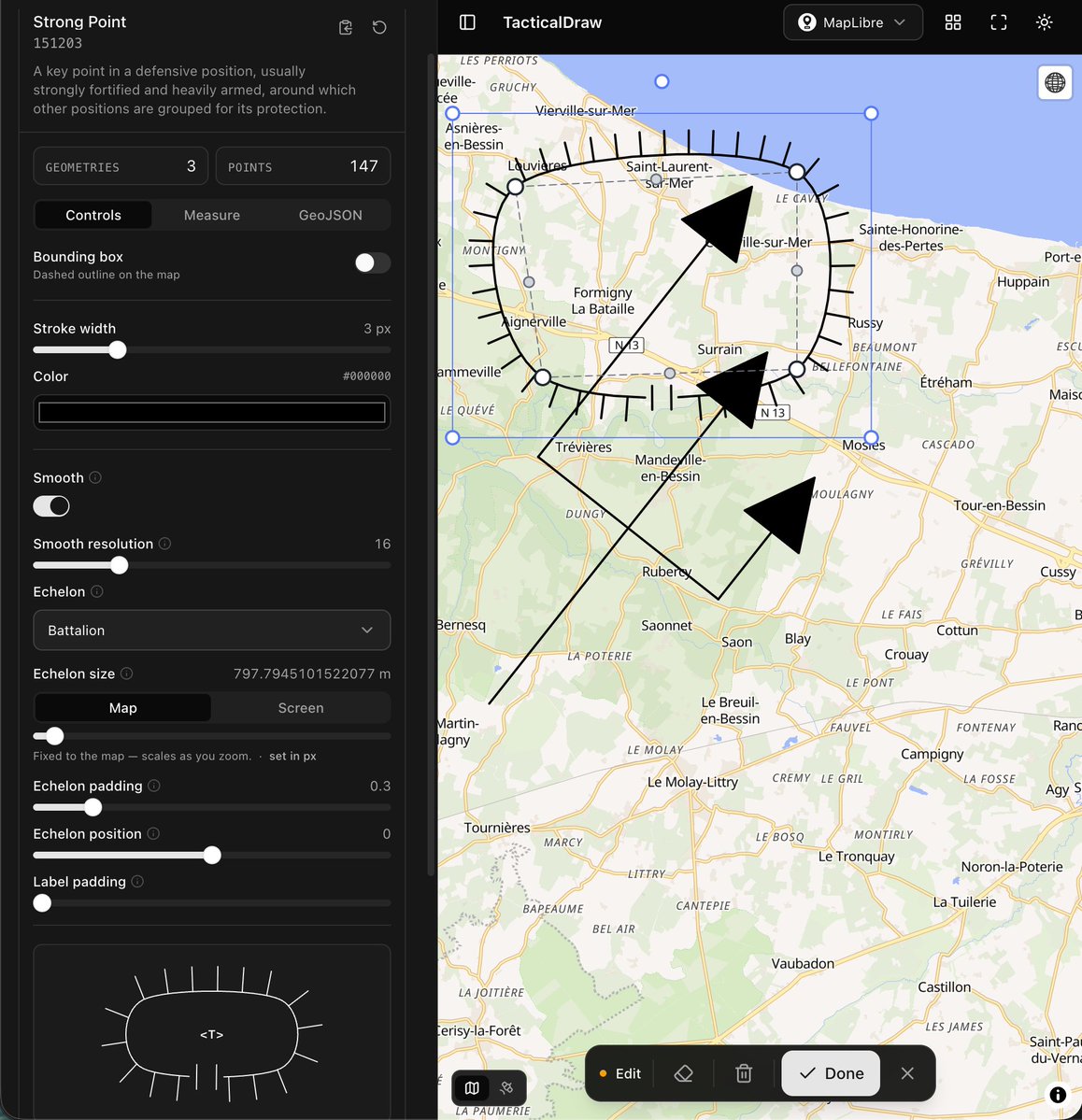
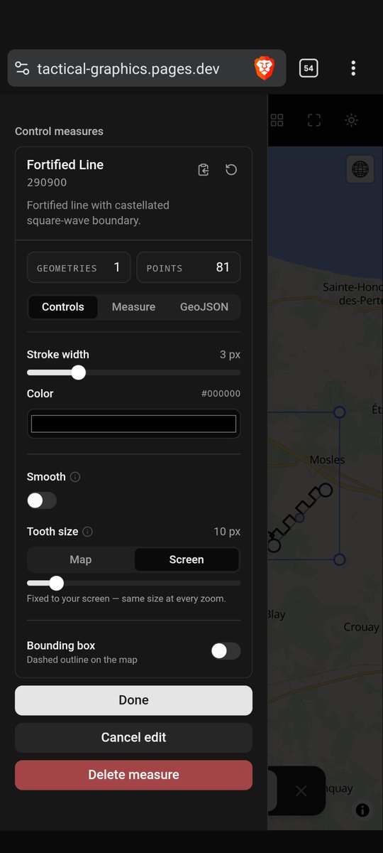
Sneak peek at the testing UI for my side project. The small previews look so cute.
ORBAT Mapper tweet media
English
1
1
15
544
ORBAT Mapper
ORBAT Mapper@orbatmapper·
You can disable the great-circle rendering in mercator mode if you want
ORBAT Mapper tweet mediaORBAT Mapper tweet media
English
0
1
5
220
ORBAT Mapper
ORBAT Mapper@orbatmapper·
I'm busy working on other projects at the moment, but I managed to sneak in a great-circle fix in the measuring tool.
English
2
2
32
1.8K
ORBAT Mapper
ORBAT Mapper@orbatmapper·
@BloomerJayson @PapaFactBoi Image export is currently very basic. No customization options. I use built in maplibre and openlayers functionality. Setting DPI and resolution should be possible, but not implemented yet
English
0
0
0
19
Jayson Bloomer
Jayson Bloomer@BloomerJayson·
@orbatmapper @PapaFactBoi Yes please. Also is there a way to add arrows and town name boxes on the map like this guy does it or does he do it outside the mapper?
Jayson Bloomer tweet media
English
1
0
1
25
ORBAT Mapper
ORBAT Mapper@orbatmapper·
@PapaFactBoi The old, incorrect visual representation has annoyed me for a long time, so it felt good to finally ship a fix. The underlying distance math has always been correct though, using the Haversine formula.
English
0
0
1
62
ORBAT Mapper
ORBAT Mapper@orbatmapper·
@matt_zaps (b) I draw Block by placing the crossbar first, then pulling the stem from its midpoint. The math happens in flat Web Mercator, so globe mode gets a projected perpendicular, not an Earth one. Fix: Use a local tangent plane for the calculations. (2/2)
English
0
0
0
48
ORBAT Mapper
ORBAT Mapper@orbatmapper·
@matt_zaps Two problems: (a) In globe mode, a straight line appears curved because MapLibre interpolates between the points using screen-space (Cartesian) interpolation on the projected globe surface, not along a great circle path. Fix: densify the line using great circle math (1/2)
ORBAT Mapper tweet media
English
1
0
0
24
ORBAT Mapper
ORBAT Mapper@orbatmapper·
This is the harsh reality of planar geometry on a spherical Earth 😞
English
4
0
17
1.1K
ORBAT Mapper
ORBAT Mapper@orbatmapper·
@ThomasHalwax Sounds right. I probably should not spend any time fixing edge cases like this 😄
English
1
0
1
25
Thomas Halwax
Thomas Halwax@ThomasHalwax·
@orbatmapper What’s the max dimension of a Brigade for disrupting the enemy? At most 20km?
English
1
0
0
22
ORBAT Mapper
ORBAT Mapper@orbatmapper·
@SapperJaeger Let's hope so. The math is much easier when we keep things on a small scale.
English
0
0
0
20
ORBAT Mapper
ORBAT Mapper@orbatmapper·
I can probably solve this with some projection magic, but I kinda like the curved lines.
English
0
0
2
136
Måns
Måns@spatialillusion·
@orbatmapper A0? You are thinking too small. (Also A0 is a stupid size since you can’t print it in landscape on a 44” plotter, and once you go 44” wide your length is almost infinite, or at least 30m.)
English
1
0
1
52
Måns
Måns@spatialillusion·
If you create a very, very, very large ORBAT in Battle Staff Tools you might run into that you can’t save it as PNG since it exceeds the maximum canvas size. I have now made a fix that scales it down to fit into 32767x32767 pixels.
Måns tweet media
English
2
0
16
787
Måns
Måns@spatialillusion·
In the future I might add PDF support so that you can download them for print in their full high resolution glory.
English
1
0
2
178
ORBAT Mapper retweetledi
NormandyWarGuide
NormandyWarGuide@NormandyGuide·
A photo from earlier this week where I gave a lightning talk at PHPSW on optimising the war diary geocoding process with AI. Not just prompting ChatGPT, but utilising agentic AI workflows combined with a custom MCP server to integrate directly with the site and its tooling, making the whole process faster and more efficient.
NormandyWarGuide tweet media
English
1
3
8
615
ORBAT Mapper retweetledi
Chris Dalke
Chris Dalke@chris_dalke·
Some user interface experimentation: subsea elevation visualization showing the profile of terrain along a mission
English
9
9
115
8.8K