@WarMonitor3 And this KH-9 image, also taken in 1982, shows RFA Sir Galahad on the eastern side of the Falkland Islands. The smoke is from fires after the ship was struck during the Falklands War. Both Britain and Argentina lost several ships during the conflict.
@WarMonitor3 Royal Navy warships near the port of San Carlos in the Falkland Islands, captured by the KH-9 satellite on May 31, 1982. The second image shows Port Stanley airfield. Craters left by raids during the Falklands War are clearly visible.
@MT_Anderson Also, this looks like a very useful and highly customizable application. I'd love to subscribe as a user or try it out if it's still in testing.
🇺🇦 Strikes Sea of Azov
Sentinel 2 (11 Jul): A ~100m 🇷🇺dark fleet tanker (likely) is burning (~61km from Berdyansk, ~113km from Kerch). False color visualization likely indicates an active fire.
Have you seen this reported anywhere else yet? 👇
@MT_Anderson@tom_bike Just pulled the latest usable Sentinel-2 true-color. I do see several vessel-like signatures in the northeast of Azov consistent with the screenshot.
@orbatmapper This looks great! Could be neat to be able to import SVG battle/campaign maps and extract selected SVG paths as GeoJSON. For e.g., Wikimedia DesertStormMap_v2.svg is already vector, so the app could fetch the SVG, show its internal paths grouped by layer/color/stroke.
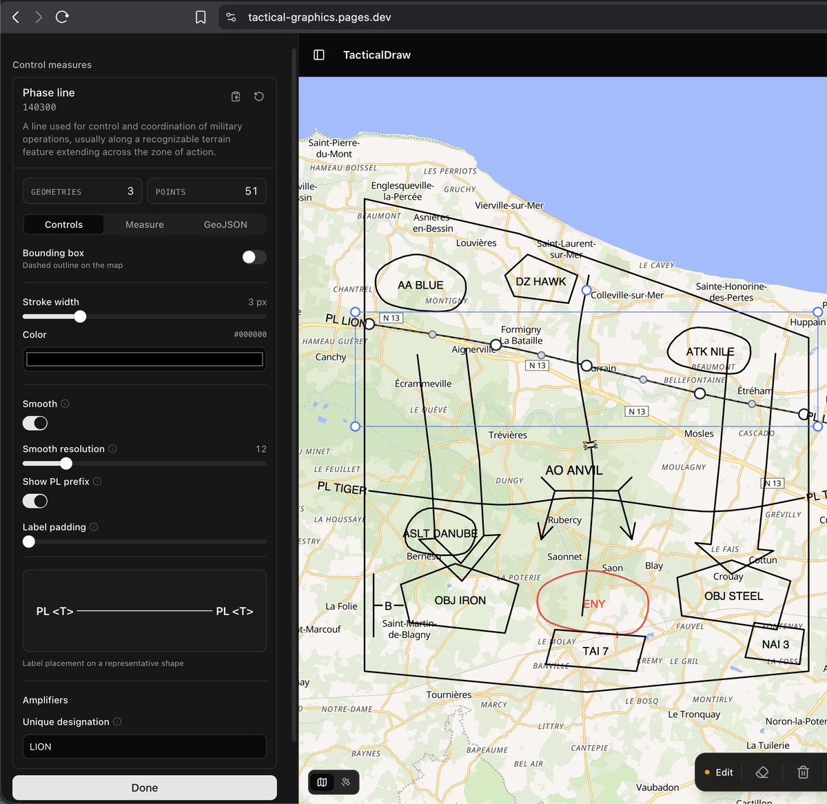
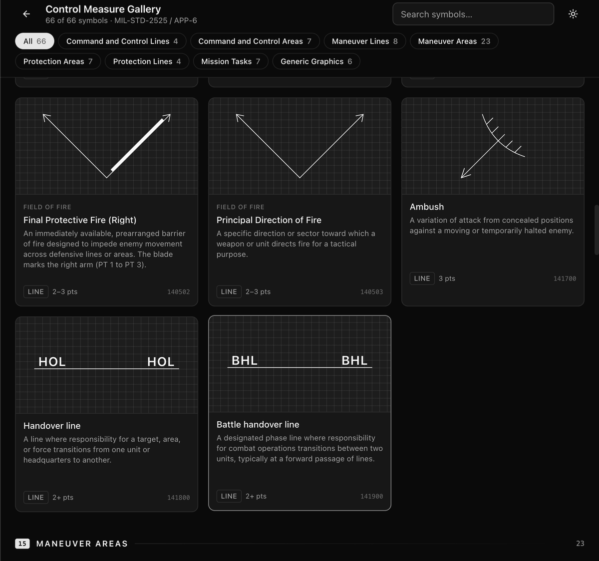
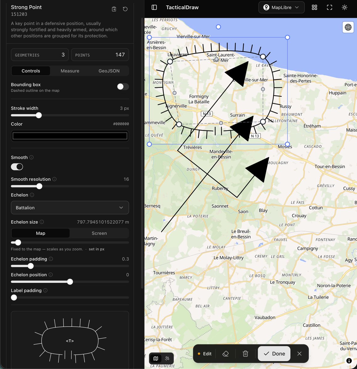
Curious about what I'm working on? The app I use to test the library is live at tactical-graphics.pages.dev Just note that it's a "kitchen sink" example that includes everything, meant only for debugging!👇
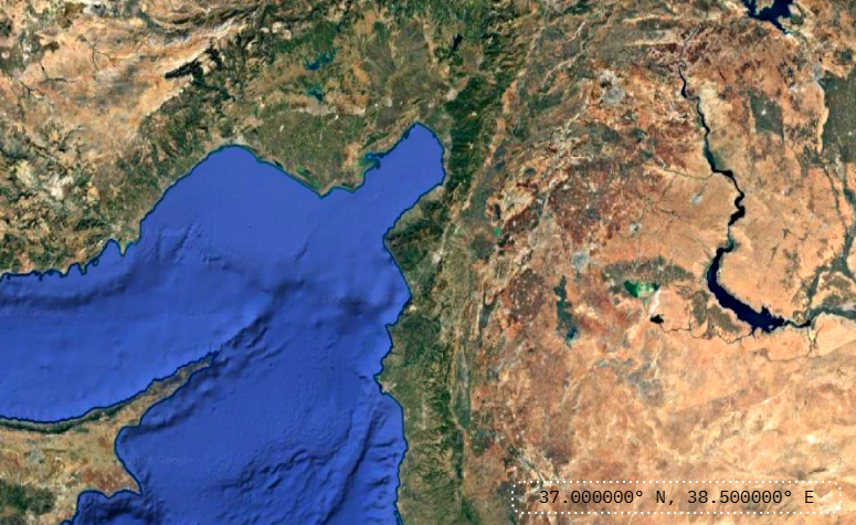
@northropgrumman@Space_Station Answer: Cygnus is flying over southern Turkey and the eastern Mediterranean near Cyprus. Looking east across the Euphrates region, with Lake Van visible farther out in the broader scene.
We’ve been selected for another Commercial Resupply Services mission to the @Space_Station. With NG-29, we'll keep delivering the cargo and science that helps make long-term human spaceflight possible.
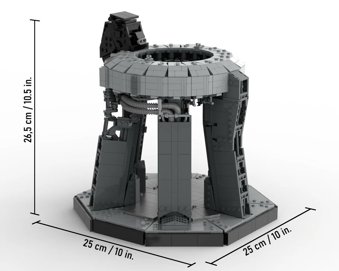
Some questions have come up on the launch bridge. It is in good shape and we will reuse. Three cranes are positioned to help lift the almost four-million-pound launch bridge and the two-million-pound launch table out of our flame trench and onto self-propelled modular transporters. Last night, the launch bridge was removed. The launch table is up next. Enjoy the crane ballet.
NEW from @hntrbrkmedia: Bloom Energy fuel cells are set to power major US AI data centers, including an Oracle OpenAI campus.
Bloom has repeatedly claimed a China-free supply chain, but we found multiple key Chinese suppliers, giving Beijing a lever on the US AI buildout.
@sundarpichai Great launch. This can significantly enhance NASA FIRMS-style products. Believe FireSat can detect smaller low-intensity/cool fires that existing satellites often miss.
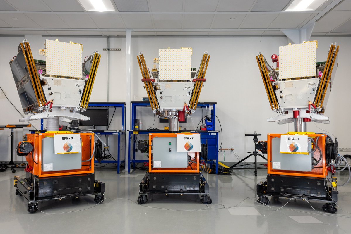
With just one year in orbit, the first FireSat satellite has already spotted wildfires invisible to existing satellites. After a successful launch early this morning, 3 more satellites joined the constellation, bringing us one step closer to our ultimate goal of near real-time wildfire updates every 20 minutes.
Thanks to @EarthFireAll@MuonSpace@MooreFound@BezosEarthFund for the partnership, & @SpaceX for the ride up!