
Kayce 🌞
554 posts


Kayce 🌞 retweetledi

I’m so fucking sick of Donald Trump. He’s the worst human being imaginable and he’s in our faces 24/7.
English
@sportpeppercat Holy moly I can't believe it's been that long! I still rock my Sport Pepper shirt 😁
English

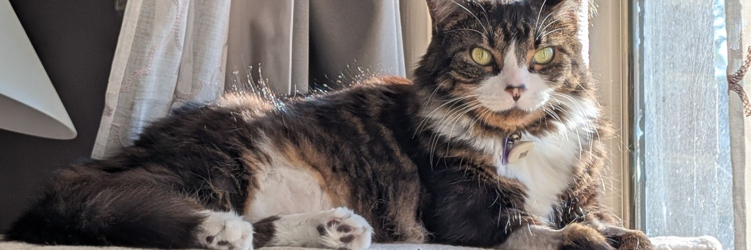
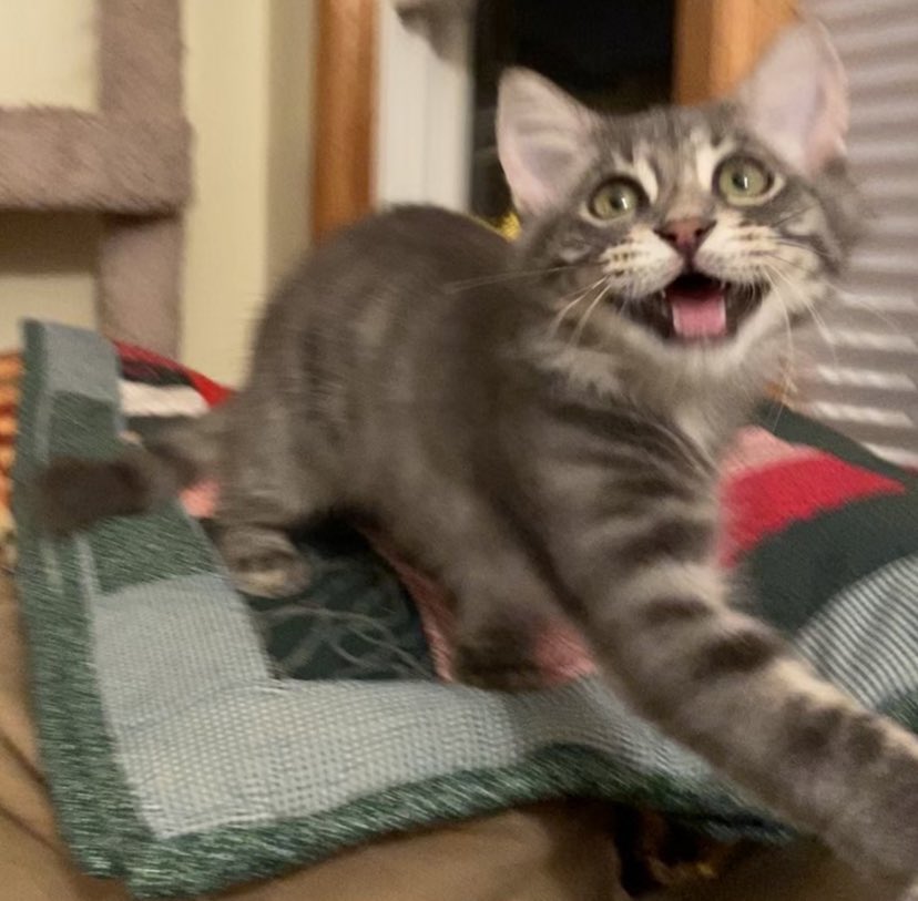
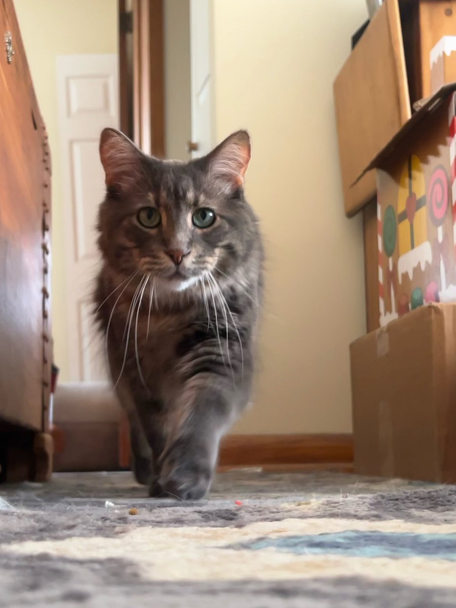
I turned five in the last few days. Oh how far I’ve come.
English
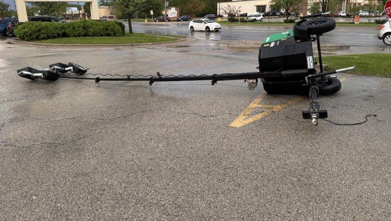
@NWSChicago Lombard, microburst of wind and rain. Blew over light post in a parking lot around 7:35 at Roosevelt and Fairfield.
English


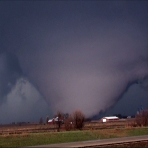
Live update on #tornado threat Wisconsin, Michigan, Illinois and Indiana on THURSDAY. We will be heading back to the Upper Midwest in the Dominator 3. Fast-evolving systems like this can have timing issues. Stay tuned!
English
Kayce 🌞 retweetledi

Kayce 🌞 retweetledi
Watches and Warnings may be flying across our region this evening and overnight. Do you know the difference between the two? Here's a quick refresher.

English


Sunshine
On my shoulders makes me happy ☀️

English


Snowflakes today have been smaller than grains of sand.
Not ideal for accumulations. Some of the driest snow I've ever seen
English
@nilwxreports I never thought I'd be jealous of the amount of snow that some parts Florida saw a couple weeks ago... 👀 I just knew this one would fizzle out 😞
English
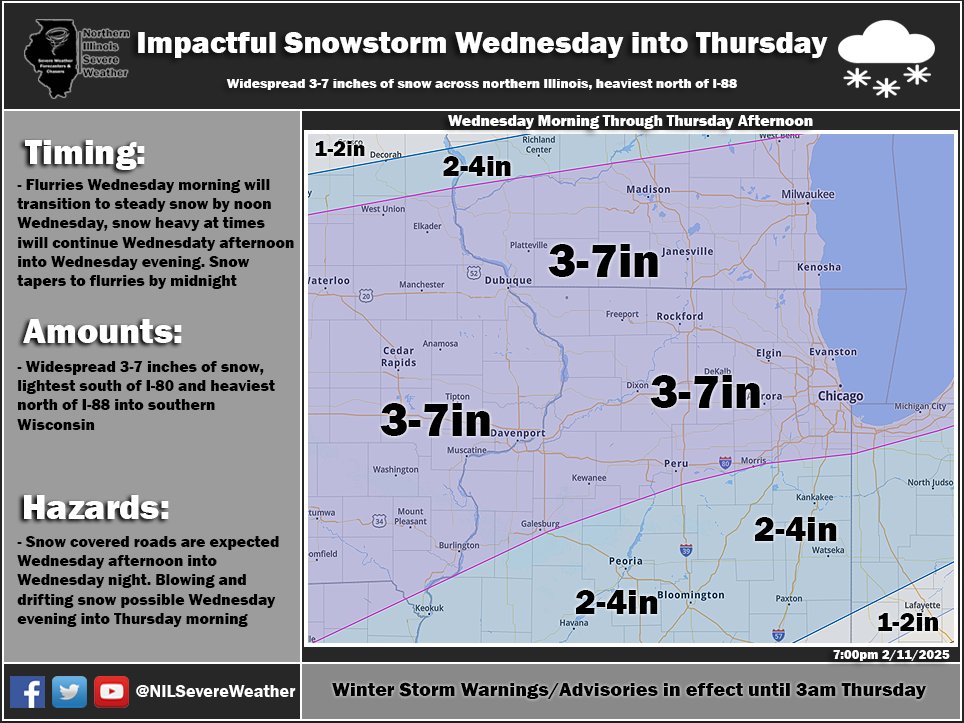
Winter Storm Update #6: Accumulating Snow Wednesday Morning into Wednesday Night across Northern Illinois
[730pm: 2/11/25] - Winter storm warnings and winter weather advisories are in place through 3am Thursday. Tomorrow, flurries will be around for the morning commute but will have little to no impacts. Steady snow will overspread northern Illinois from west to east from 8am through 11am, steady snow, heavy at times will fall Wednesday afternoon into early Wednesday evening. After 7-8pm, snow will taper to light snow/flurries with all snow wrapping up by midnight. Lake effect snow may continue past midnight tomorrow night but overall accumulations will be light as the band quickly moves east into northwest Indiana by early Thursday morning. Thursday morning's commute should be in good shape as snow exits early and plows have plenty of time to clear overnight. Wednesday afternoon and evening commutes will be heavily impacted by falling snow. Overall accumulations have not changed, 3-7 inches for most areas with the heaviest amounts expected north of I-88, and lightest amounts south of I-80. Some blowing and drifting may occur Wednesday evening into early Thursday morning. #ilwx
English
Kayce 🌞 retweetledi

My cat's litter box is in the bathroom. Every time I go to the bathroom, she comes and uses the bathroom. Girls going to the bathroom in pairs is apparently an interspecies phenomenon
English
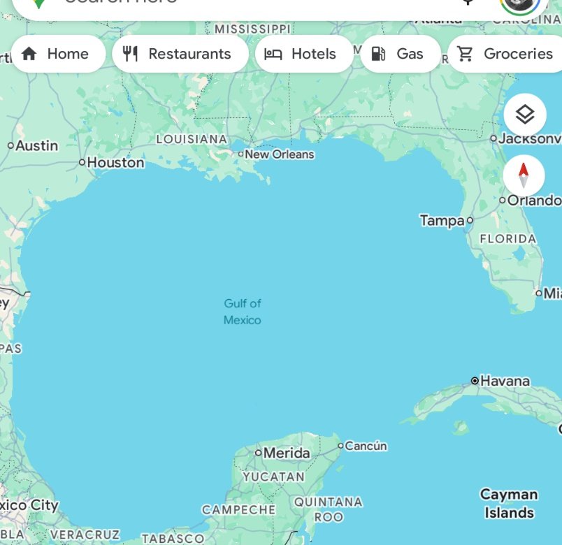

BREAKING: For the first time on record, a blizzard warning has been issued for the Gulf of Mexico coastline.
A blizzard warning has never been issued so far south.
Frequent gusts to 35 mph will combine with moderate to heavy falling/blowing of snow to reduce visibilities. ❄️
English