Karito Tenorio retweetledi

weeklyOSM issue 760 is now available in *English* the news from the #openstreetmap #osm world weeklyosm.eu/archives/17741

English
Karito Tenorio
86 posts


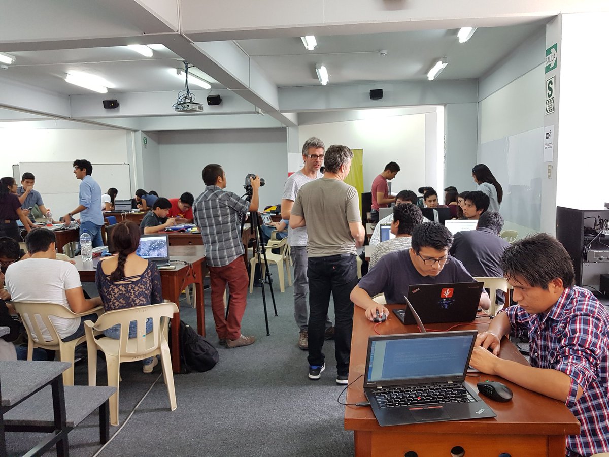
1/5 Friday at #MappingUSA + #WikiConferenceNA gets started with a keynote by Minh Nguyễn, OpenStreetMap US board president and Wikimedian. You can get all the details at buff.ly/3eqRM4m
We drew the first interactive digital map of the Inca Empire(1438-1533) in @OpenHistoricalMap, Thanks to the @developmentseed data-team for this great effort. 🚀 @MinCulturaPe @ediyess @tp_karito @piligab @yunica__ #Peru #inca #openstreetmap #map #map=5/-16.259/-70.273&layers=O&date=1522&daterange=1400,1543" target="_blank" rel="nofollow noopener">openhistoricalmap.org/#map=5/-16.259…


After the Ministry of Health announced the 9th #Ebola outbreak in the #DRC, many HOT volunteers help in mapping and validate roads, rivers, residential landuse and buildings, find the projects here: tasks.hotosm.org/contribute?dif… everybody can we help 💪 @hotosm @osmpe
This post from @tp_karito about how the community came together after massive data loss in Peru, really speaks to the strength of OSM: openstreetmap.org/user/karitotp/…