Andy Hazelton@AndyHazelton
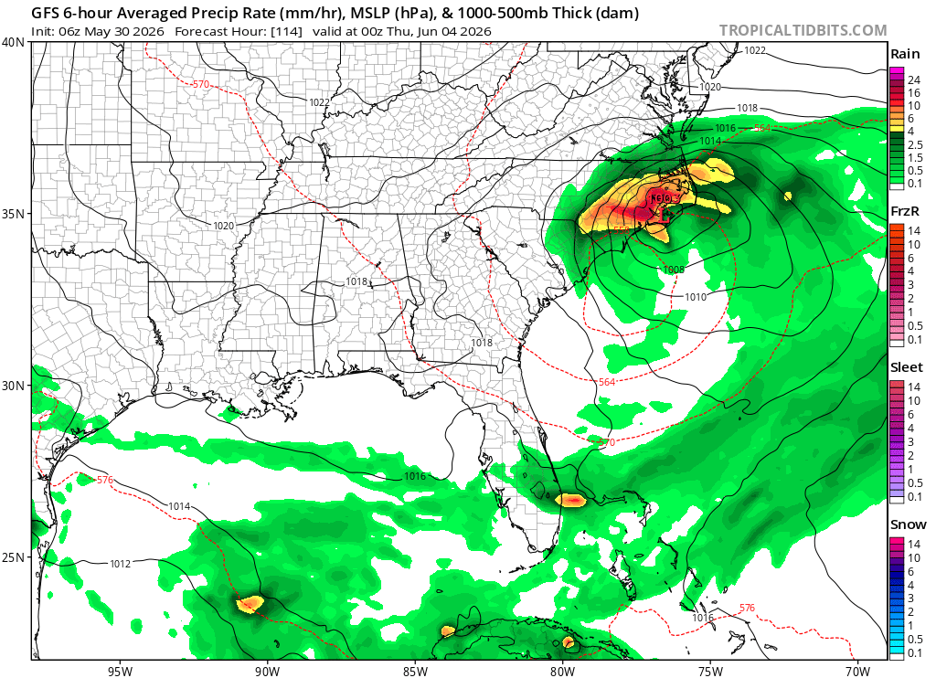
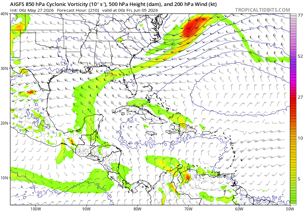
Since a lot of the GFS TC biases at long range seem to be tied to physics (particularly the convective scheme), I wonder if the AIGFS might be a nice indicator as to when the operational GFS is out to lunch.
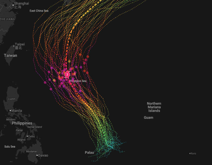
For example, both GFS and AIGFS are showing a TC in the WPAC in 7-10 days, so that (along with other models) gives me a little more confidence in the solution.
On the other hand, AIGFS isn't biting on the East Pacific storm that the GFS forms in 12-13 days. Obviously forecasts at that range are generally useless anyways, but it would still be interesting if AI helps cut down on some of those biases.