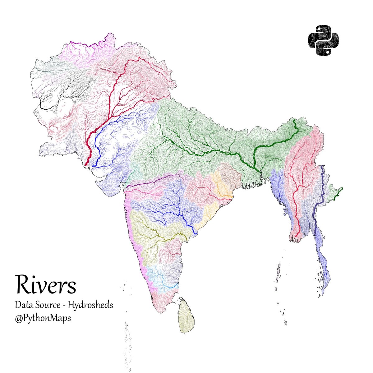
Another thread of maps I like. This time we are looking loosely at the Indian sub continent. Included are India, Pakistan, Afghanistan, Nepal, Bhutan, Bangladesh, Sri Lanka and Myanmar.
First up, Rivers! 1/13
@PythonMaps@KonturInc Looks like you've got the Geographical map of India wrong in the depiction. Couls you check and correct the same in all your past and future depictions, at the earliest, please.
@PythonMaps@KonturInc if the map you are showing here is boundaries of countries, you have to immediately remove this post. how dare you to reduce india map at north. correct this asap or remove this