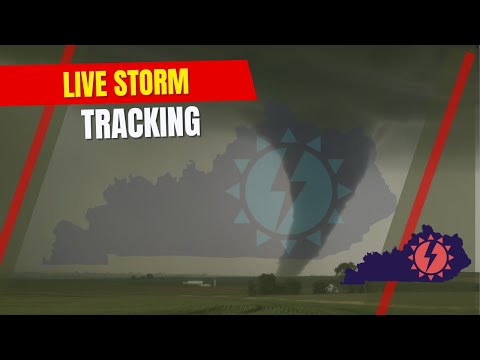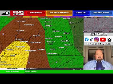

Shane Smith أُعيد تغريده

Snow Squall in London . #kywx #ekywx @spann @AndrewWMBF @nwsjacksonky @JenNimePalumbo @jsmithwx @SSmithWeather @jloganwxguy @weatherchannel @WeatherNation @JimCantore @cjwxguy56 @Kentuckyweather @MarcWeinbergWX @BillMeck
English