To safeguard Atlanta's reputation as the "city in the forest," @TreesAtlanta protects them and plants more where they are needed most. esri.social/Ks3H50MYbMp
USDA's Agricultural Research Service @USDA_ARS has modernized its century-old tick eradication program by adopting an advanced geographic approach that reduces errors and improves communication. esri.social/Sleq50MRZqg
Land managers in British Columbia teamed with cattle ranchers to prove balanced grazing was good for both cows and the forest. An innovative #wildfire#mitigation program uses cows to forage in forests to reduce fire intensity. esri.social/JsAz50LqPWa
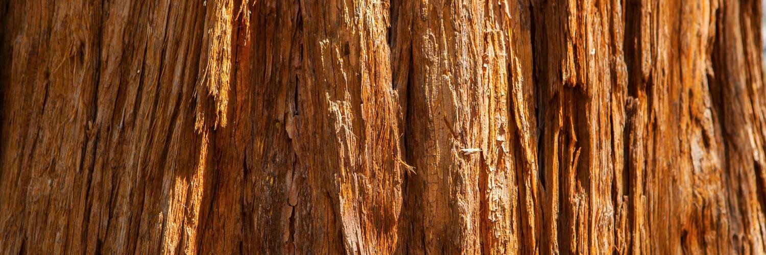
Faced with diminishing numbers of white oak trees, which are essential to #bourbon making, the industry turns to a new map-based app to scout new sources. Learn about the tool esri.social/AIPw50IZaNK and the back story esri.social/6UGc50IZaQw
The iconic American #bourbon industry needs to find more white oak wood to make barrel staves. A new mapping app from the @forestservice Forest Inventory and Analysis program helps see the #trees. esri.social/s0BN50IW9LQ#forest inventory
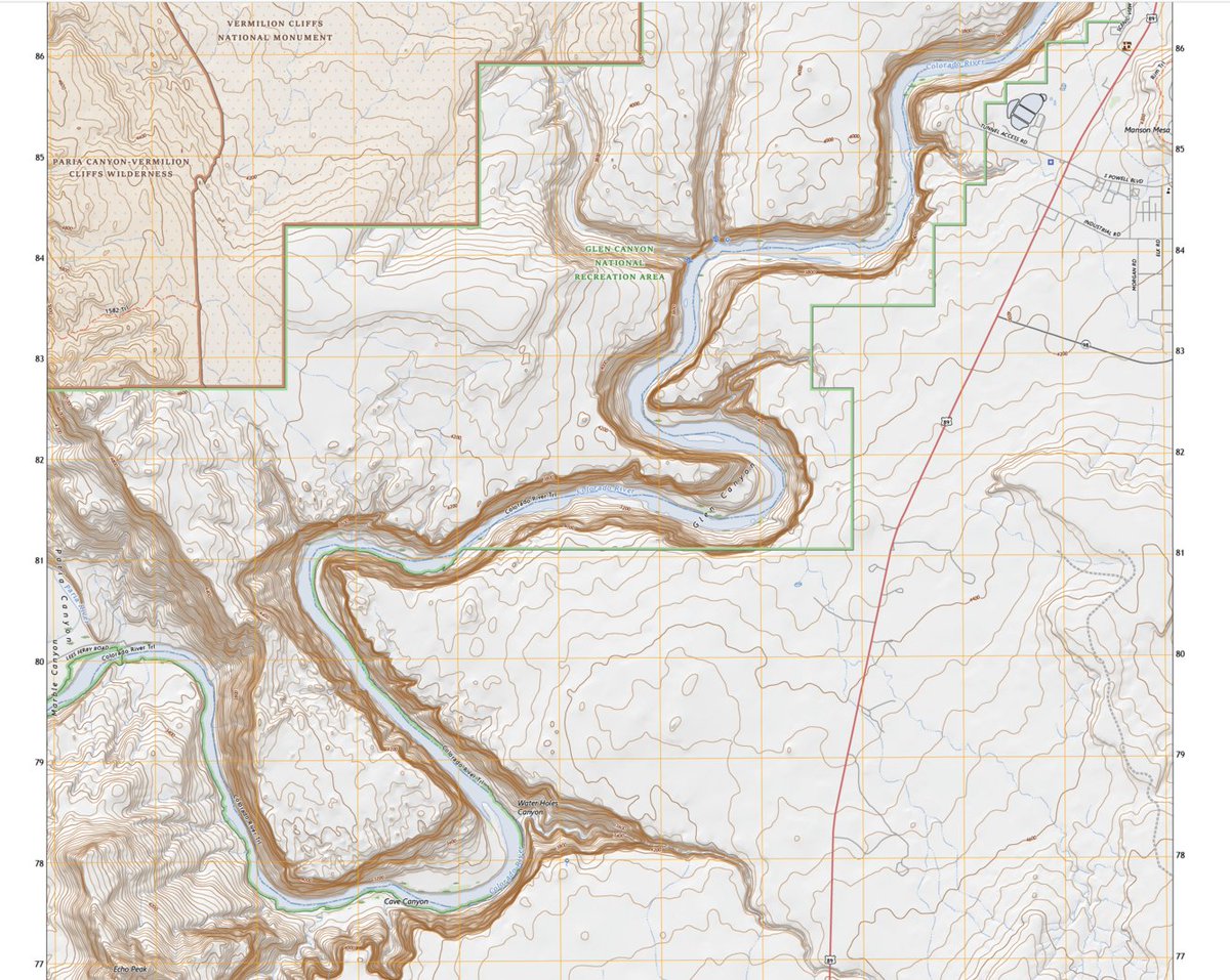
For the first time, you can get one of our famous 7.5 minute #topo maps based on an area you choose, rather than relying on us to draw the boundaries using our new pilot topoBuilder tool!
#maps#mappingow.ly/UlP950I1GtG
Forest Type Groups of the Continental United States
Brought to you by your #USDA@forestservice Forest Inventory and Analysis program.
check this @LivingAtlas layer out here - #d=2&q=BIGMAP" target="_blank" rel="nofollow noopener">livingatlas.arcgis.com/en/browse/?q=b…
Find more from FIA here - fia-usfs.hub.arcgis.com
If the US @forestservice's demo on raster analytics in the cloud caught your attention, here's a video that explores the topic further. #EsriUC
View the video: go.esri.com/raster-vid
Calling all Feds! This year’s Feds Feed Families campaign offers a new website to make it easier than ever to donate and share your stories. Learn more and let’s do this!
usda.gov/media/press-re…