MJ33Wx
6K posts
MJ33Wx
@MJ33Wx
Professional Meteorologist at WFO LMK.
Ohio Valley Katılım Ocak 2013
634 Takip Edilen1.4K Takipçiler
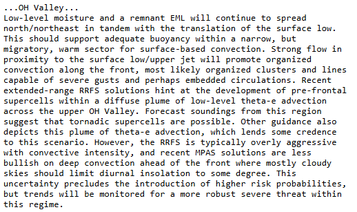
There appears to be a light smoke plume showing up on radar near West Point / Fort Knox. Anyone will eyes on this area?
GIF
English

I'm not attempting to play down the threat by any means. However, I've been through plenty of these setups over the last 30 years to see failure models that occur often. Given the setup, threat is there for high winds, but the threat does dampen with eastern extent. #kywx
English
@wxstorm18 @cpinney998 @MarcWeinbergWX Because day 1 and day 2 outlooks go back to the 50/60s, they existed before the internet. They are still intended for internal NWS guidance and forecast coordination. Same for AFD's from local offices. In the 90s, everything just got ported to the internet.
English

@cpinney998 @MarcWeinbergWX If it wasn't meant for the public why is the website public where anybody can see the risk on their website
English
The season is still young and we are getting a lot of people complaining about the new SPC "CIG" system. The hatched really used to have meaning and raise awareness. Now, we are hearing that it is causes a huge amount of confusion and is being "spammed" everywhere.
Why change something that was working well? What a mess.
English
@WX_Marker RRFS exists with a FV3 core, but yes, it is going to MPAS core. Most NCEP models will be moving to MPAS cores for a unified model system. NAM will eventually get retired, but not sure on date.
English

@MJ33Wx I thought RRFS was based off MPAS? Is the NAM still expected to be discontinued soon?
English
@2024yesyes Composite reflectivity can be a good indicator of storm mode. However using to to diagnose where convection will fire or its eventual evolution is not recommended.
English

@MJ33Wx Is there a problem with using composite reflectivity just to get a general idea on where storms could develop and what the storm mode could be, but not using it as what will happen?
English
@StillwaterMet @spann @MissAshes92 @jamesaydelott @WeatherNation @weatherchannel @foxweather If the calls are numerous enough and affect forecast/warning operations, it would violate federal law. 43 CFR 423.22. Broadly parts A,C, E5.
English

Asking for some help please from anyone. @spann @MissAshes92 @jamesaydelott @WeatherNation @weatherchannel @foxweather Spread the word that calling (on phone) NWS offices with radar interpretation only adds to the fog of an already dynamic situation. Speaking for myself.
English
@garrityv_t Yeah, when the PV gets stretched out like a football in an east/west direction, cold isn't coming back for a while.
English

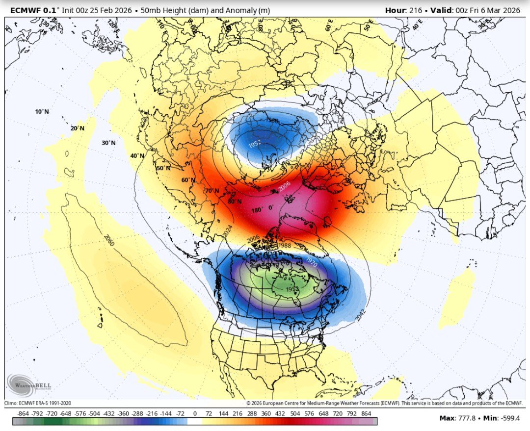
@garrityv_t There is speculation that we may have another strat warm event. This could displace or poke the PV. If comes back over to the western hemisphere, that would be helpful.
English