BLISS

269 posts

BLISS banner
BLISS

BLISS

@bliss_science

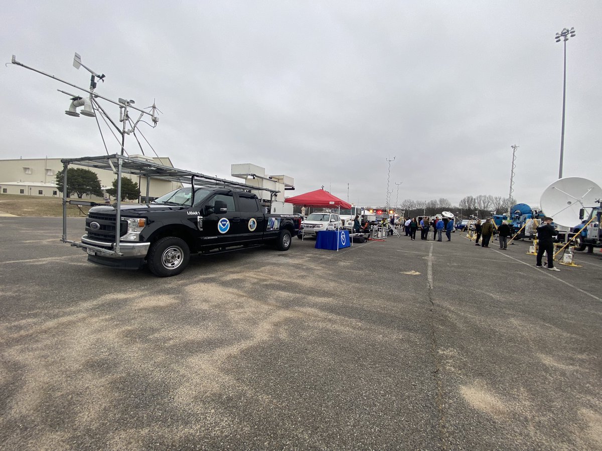
Boundary Layer Integrated Sensing and Simulation group is a multi-institution team working at the National Weather Center. Any views expressed aren’t official.
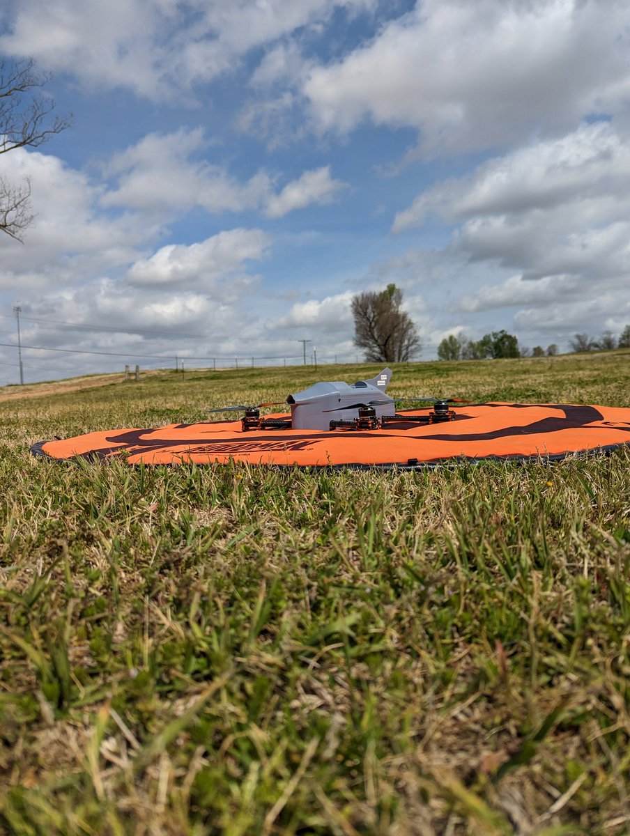
Norman, OK Katılım Ocak 2018
65 Takip Edilen289 Takipçiler
BLISS retweetledi
Matt Ammon
Matt Ammon@matt_ammon_wx·
Sampling supercell inflow with @CIWRO_ coptersondes near the Kansas, Oklahoma border! #kswx #okwx
Matt Ammon tweet media
English
1
1
37
2K
BLISS retweetledi
Robby Frost
Robby Frost@robbyfrostwx·
Honored to be recognized at the @OUAGS awards ceremony with many of my @bliss_science colleagues last night!
Robby Frost tweet media
English
0
2
37
1.1K
BLISS
BLISS@bliss_science·
More resources: The international organization EARTHDAY.ORG planned weekend long events for #EarthDay2023 with the theme "Invest In Our Planet." The US Environmental Protection Agency (EPA) also maintains an Earth Day website at epa.gov/earthday
Norman, OK 🇺🇸 English
0
0
0
81
BLISS
BLISS@bliss_science·
Learn more at the University of Wisconsin-Madison website nelsonearthday.net which highlights Senator Nelson and his idea that became Earth Day.
Norman, OK 🇺🇸 English
1
0
0
89
BLISS
BLISS@bliss_science·
Happy #EarthDay from all of at BLISS! Today, 22 April 2023, is the 53rd anniversary of Earth Day, which was first proposed by the late Senator Gaylord Nelson of Wisconsin and run in 1970 as a teach-in to heighten awareness of the environment.
BLISS tweet media
Norman, OK 🇺🇸 English
1
0
7
571
BLISS retweetledi
Josh Gebauer
Josh Gebauer@wxnerdjosh·
Flying this lovely CopterSonde near Yazoo City today for @PERiLS_Project. Live data from the flights can be seen at wxuas.com.
Josh Gebauer tweet media
English
1
2
9
951
BLISS
BLISS@bliss_science·
@wise_wx Yes! We have COA in place in these locations that allows us to fly up to 5000ft AGL. We do not currently have permission to fly beyond visual line of sight, so no IFR conditions
English
0
0
1
17
Grant Wise
Grant Wise@wise_wx·
@bliss_science Are you getting FAA clearance for flying above 400ft, or in IFR conditions? I've used my drone for vertical profile sampling as well, but have paused since increased regulation. If there is an easy way to get clearance, I'm curious.
English
1
0
0
18
BLISS
BLISS@bliss_science·
This year, data from all three CopterSondes will be streaming in real time to our newly revamped website, so be sure to follow along! wxuas.com
BLISS tweet media
English
1
0
4
206
BLISS
BLISS@bliss_science·
This is the second year of the project. Last year, the #CopterSonde flew safely and successfully for over 120 profiles. Here is an example of data captured during IOP 2 in 2022
GIF
English
1
0
3
245
BLISS
BLISS@bliss_science·
Our first BLISS coffee break is going great this morning. ☕️
BLISS tweet mediaBLISS tweet media
English
0
1
4
611
BLISS
BLISS@bliss_science·
On a clear day like today, this balloon is able to show us the remnants of last night’s nocturnal boundary layer with the inversion still in tact as daytime turbulence is working to mix it away.
BLISS tweet media
Lake Village, AR 🇺🇸 English
1
0
1
149