Sabitlenmiş Tweet
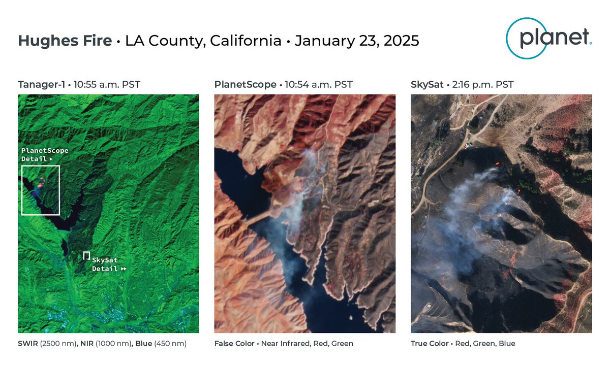
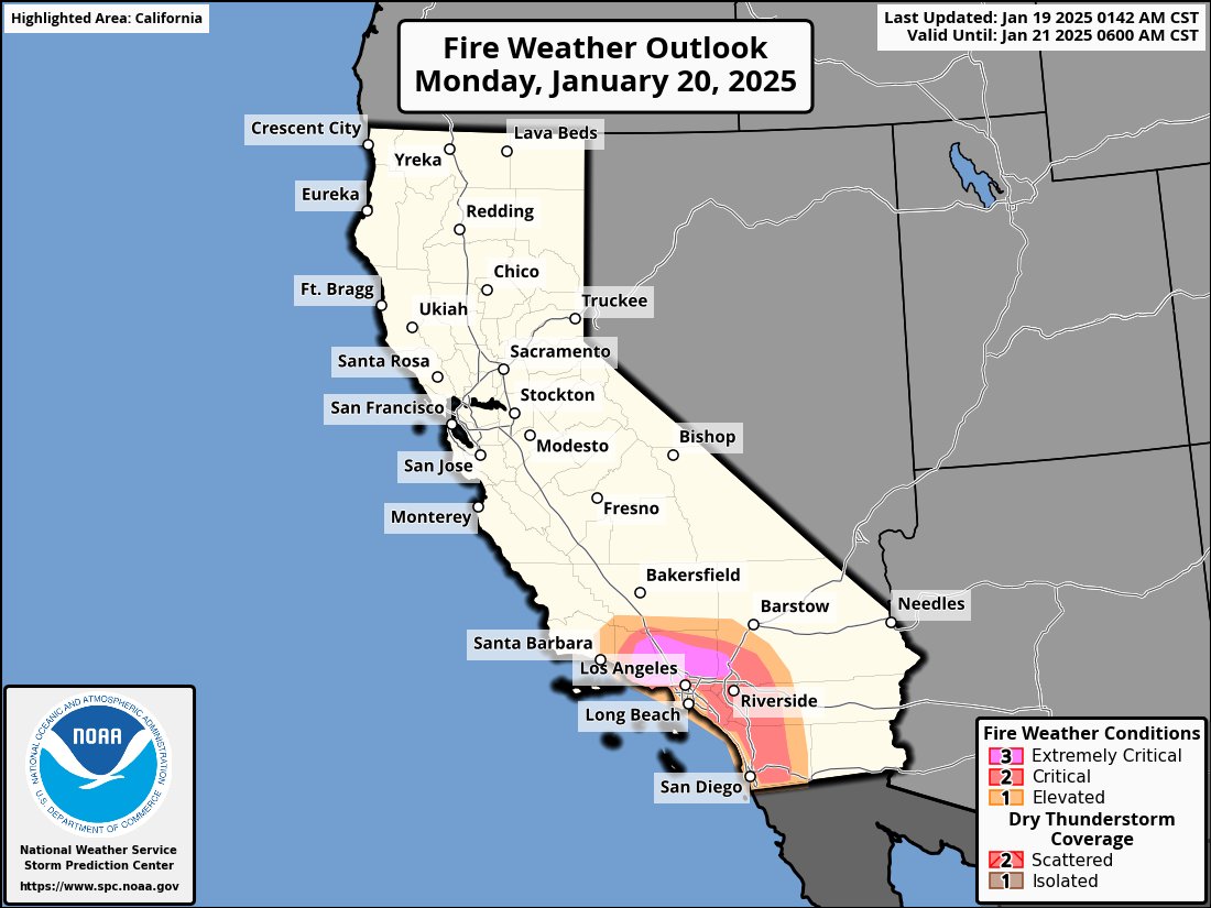
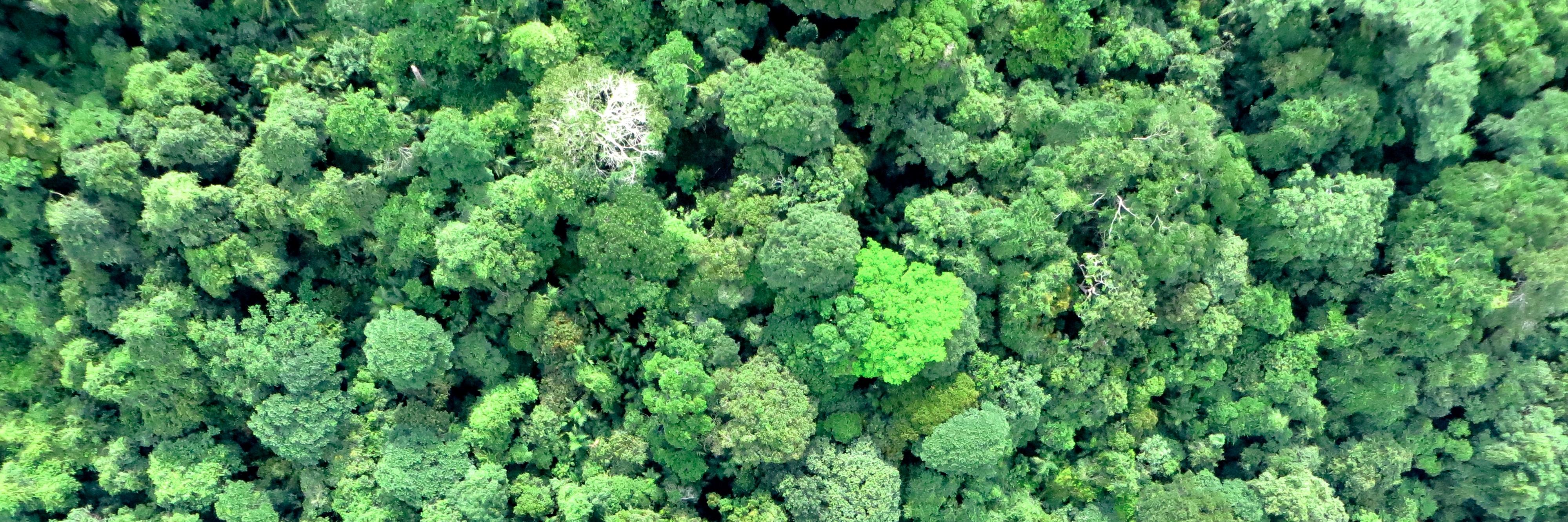
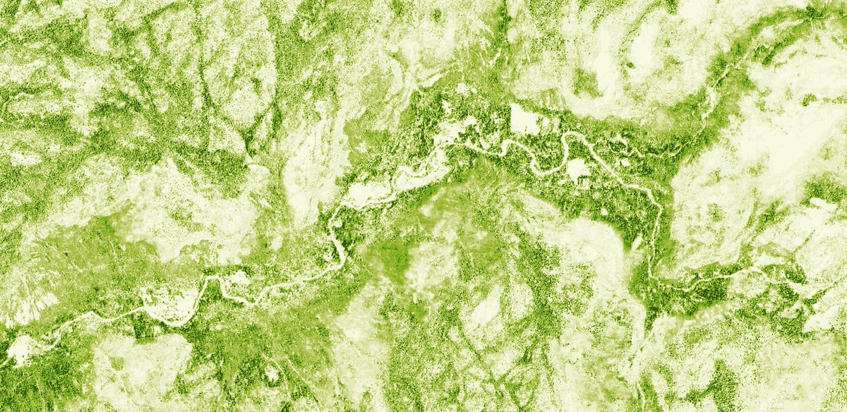
Bringing you a whole new perspective of our Earth on September 14th 2020
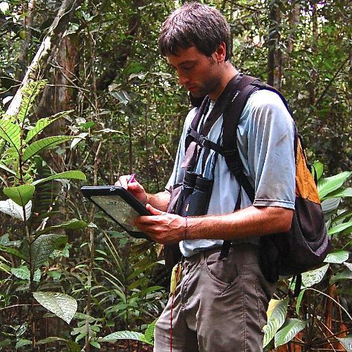
High resolution views of forest structure and #wildfire hazard via the @forestobs
@SaloSciences and @planetlabs built this platform to provide free data to scientists and the public
English