
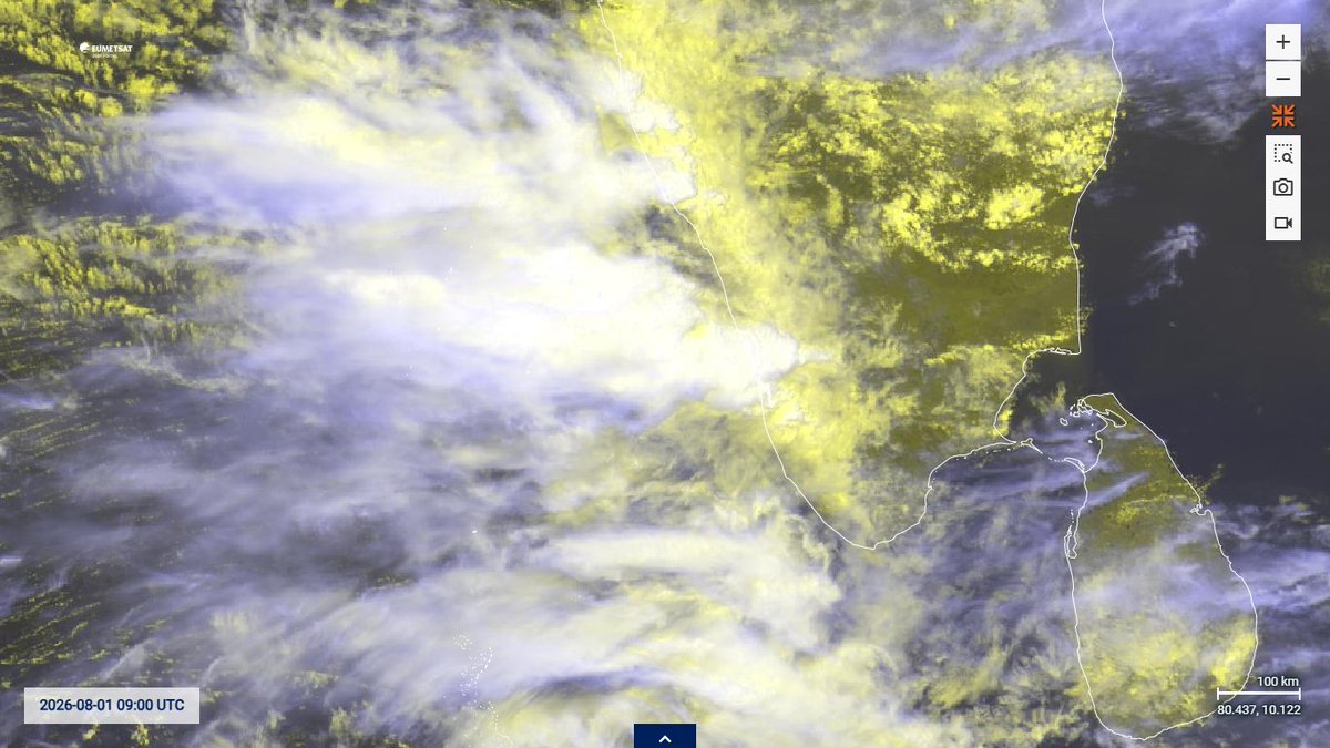
@Selwyyyyn So extreme rains events possible for mumbai ahead this season?
English
Prit Patel
751 posts


DIPKE : "BJP is threatening me to join the party. I will never join BJP"

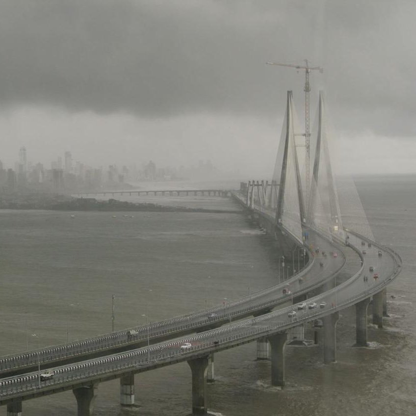
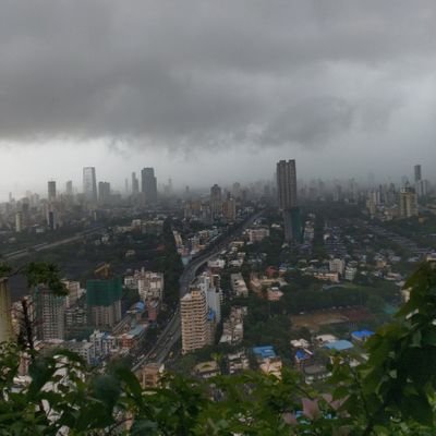


Heavy rains over Mumbai doesn't mean immediate rise in lake levels. July & August are the key months for water levels to rise in catchment areas.💧#MumbaiRains


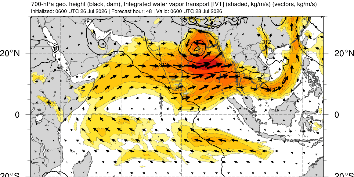
#Gujarat outlook 22 - 24 Jul A LPA to develop over west MP and move westwards over eastern and central Gujarat. Simultaneously a strengthening Monsoon surge to arrive. Red warning 🔴 issued for Wednesday and Thursday for Surat, Valsad, Navsari, Daman, D&NH, Dang, Tapi, Bharuch, for very - extremely heavy #GujaratRains likely causing flooding and widespread disruption. Total Accumulation : 400-600 mm ---------------------- Amber warning 🟠 issued for Narmada, Vadodara, Chota Udepur, Dahod, Anand, Panchmahal, Khera, Mahisagar, Aravalli, Ahmedabad, Gandhinagar for heavy - very heavy rains on Thursday and Friday likely causing waterlogging and minor disruption. Total accumulation : 200-300 mm ----------------------- Rest of Saurashtra, Kutch and north Gujarat likely to see light-moderate showers, with intensity becoming heavier as weekend approaches. Depending on further movement of the LPA the warnings may be adjusted or extended westwards.

Benjamin Netanyahu is a war criminal.


