
🌋 46 years ago today, Mount St. Helens forever changed the Pacific Northwest — and the science of volcano monitoring.
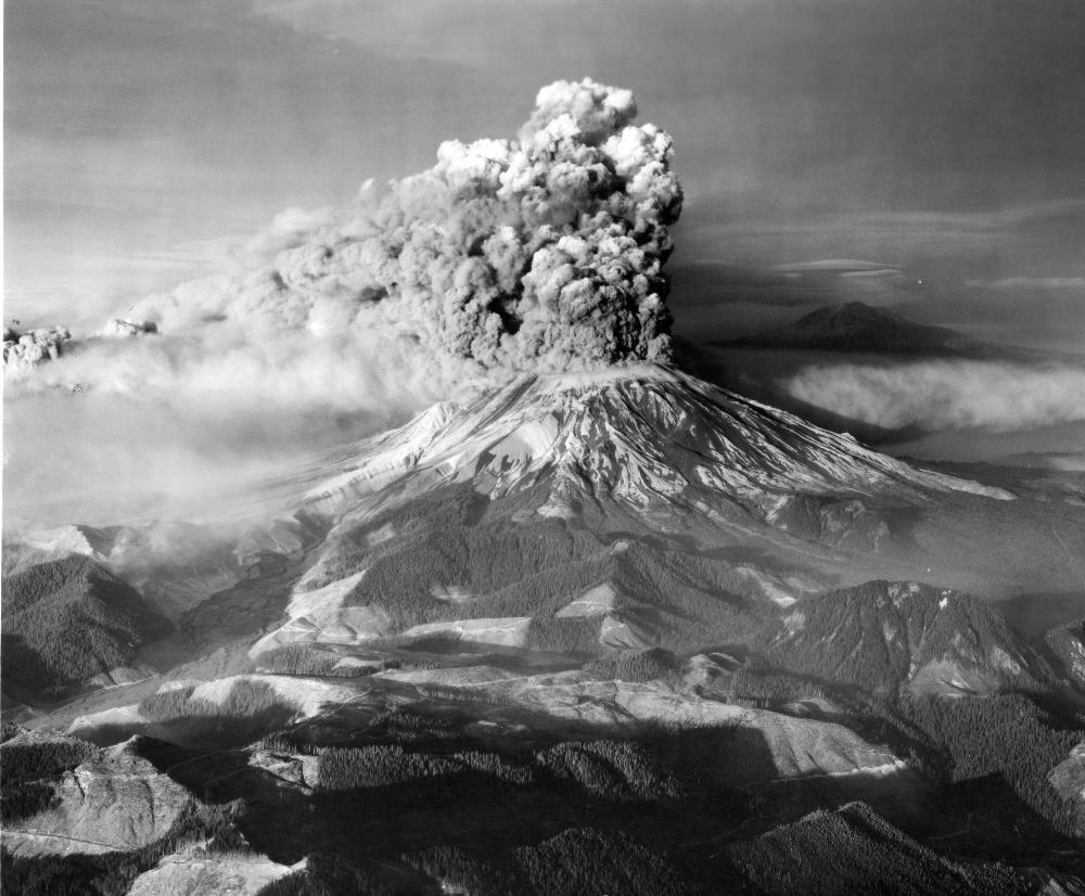
After more than a century of quiet, earthquakes and rising magma signaled that pressure was building beneath the volcano in the spring of 1980. On the morning of May 18, the mountain’s north flank collapsed in a massive landslide, triggering a devastating lateral blast that flattened 230 square miles of forest.
Ash rose high into the atmosphere and drifted across the U.S, while volcanic mudflows, known as lahars, surged through nearby valleys to the Columbia River. Fifty-seven people lost their lives, including USGS volcanologist David A. Johnston.
When the eruption ended, Mount St. Helens stood nearly 1,300 feet shorter than before. The eruption transformed not only the landscape, but also how scientists monitor and prepare for volcanic hazards around the world.
➡️ Watch USGS scientists recount their experiences before, during, and after the eruption: ow.ly/bX0250Z0V4G
📸: Mount St. Helens erupting above a quiet rural landscape, with ash and steam billowing into the sky. Mount Adams can be seen in the background.
English