

MizarVision Watcher
325 posts

@MizarVision
Independent OSINT & imagery analysis | satellite imagery, flight tracking, defence news. Unofficial commentary account. Not affiliated with MizarVision


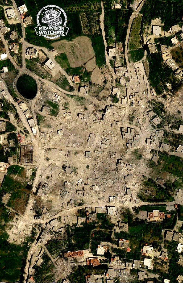
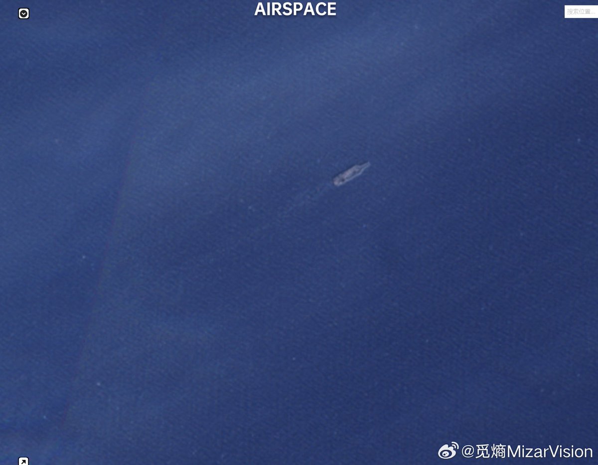
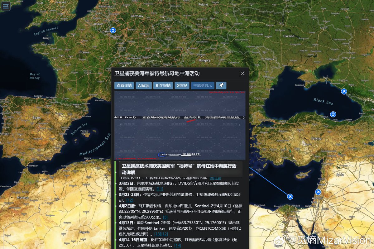
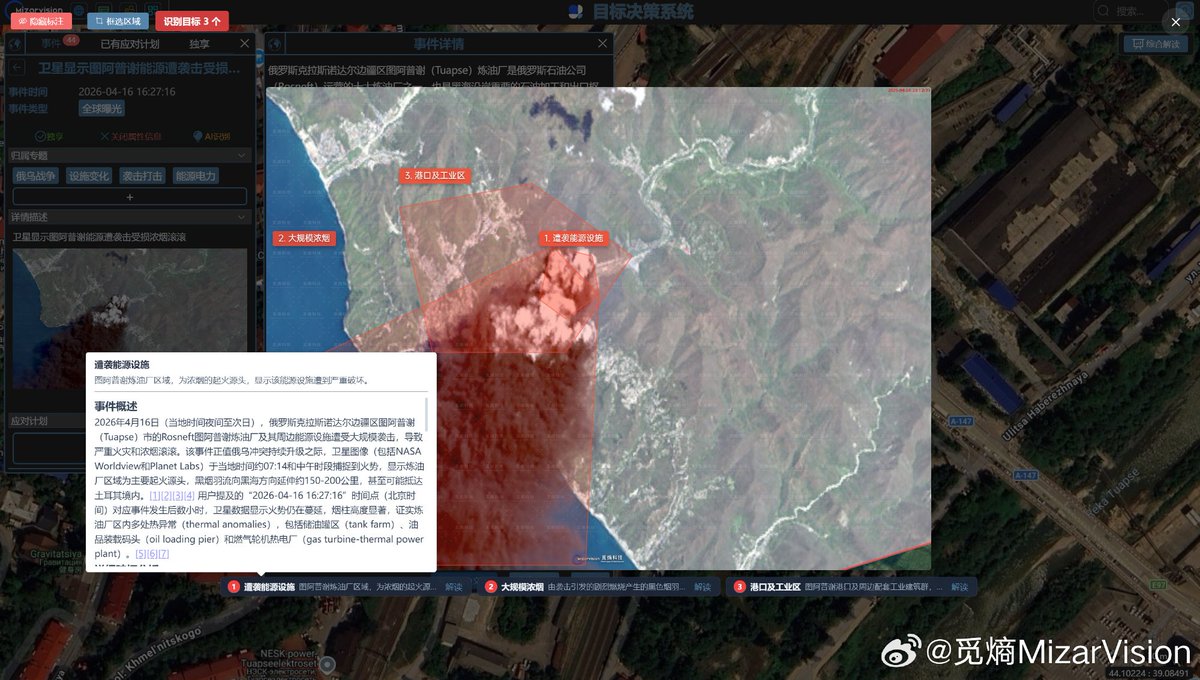
A Chinese firm, MizarVision, posted detailed satellite imagery of U.S. forces in the Middle East while not disclosing its data sources. @ChinaSelect analysis found @AirbusSpace satellites had multiple daily windows, up to 10 hours, where they could have captured imagery of U.S. troop positions before the Iran conflict. That imagery later appeared online via a China-based AI company. "These documented facts present a troubling scenario: 1. A Chinese firm with undisclosed satellite sourcing published precise, annotated imagery of U.S. military assets at a specific base. 2. That imagery identified the exact aircraft types that were subsequently destroyed in a precise Iranian strike. 3. A technical analysis suggests Airbus Space satellites were the most plausible sources for that imagery,” concludes Chairman @RepMoolenaar. chinaselectcommittee.house.gov/media/press-re…


It’s confirmed now. The Americans have handed over their last base in Syria to the Syrian Army and have withdrawn their forces from the country after 11 years. Now, the only U.S. military presence will be a small security detail at the embassy in Damascus.


New satellite imagery made by MizarVision appears to show the USS Gerald R. Ford operating in the Mediterranean as it approaches the Suez Canal. The imagery, paired with AI-assisted analysis from MiEntropy, tracks the carrier’s movement across the eastern Mediterranean during its continued deployment. The USS Gerald R. Ford has been operating for months across the Mediterranean, Red Sea and Middle East theater, and its movement toward the Suez highlights the carrier’s continued role in regional U.S. naval operations. #MizarVision #OSINT


