Sabitlenmiş Tweet
@_rohanverma, Board Member, @MapmyIndia, MD – Mappls DT & Gtropy, had the honour of meeting Hon’ble Minister Shri @nitin_gadkari Ji and discussing key initiatives being undertaken in collaboration with the @MORTHIndia. He also had the privilege of presenting MapmyIndia’s iconic Ramayan Map to the Hon’ble Minister.
The interaction focused on efforts aimed at making travel across India smarter, safer, and better informed for every traveller. These include enabling users to view estimated annual toll pass savings within the @mappls App, providing safety alerts such as accident-prone zones, animal crossings, and roadwork updates, and continuing to strengthen road safety and user awareness through technology.
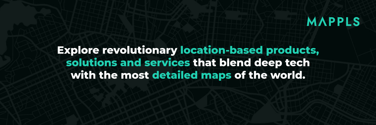
These initiatives reflect our continued commitment to leveraging homegrown innovation to support India’s mobility and transport ecosystem. For over 30 years, MapmyIndia Mappls have been building India’s own digital maps and navigation technologies, designed and developed for the unique needs of our roads, infrastructure, and citizens.
As India continues to advance its infrastructure and mobility landscape, we remain committed to contributing through intelligent, Swadeshi, and user-centric mapping and navigation solutions.
Download the Mappls App and experience smarter navigation for India: mappls.com/getApp
@rakeshverma1950 | @MapmyindiaVerma | @mappls | @PMOIndia
#Mappls #MapmyIndia #RoadSafety #DigitalIndia #SwadeshiTech #AtmanirbharBharat #Mobility #Navigation #IndiaTech #Swadeshi #ProudlyIndian #SupportLocal #MoRTH #MadeInIndia


English