

ColtWX
1.7K posts



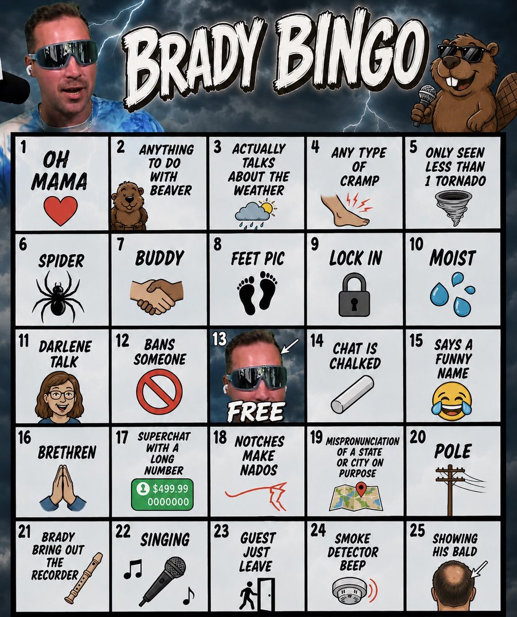
My Chat made a Bingo card made up of things that happen on my streams.
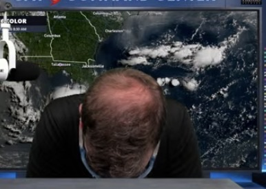
"Showing his Bald Spot"................. Ok 😭
English


ColtWX retweetledi
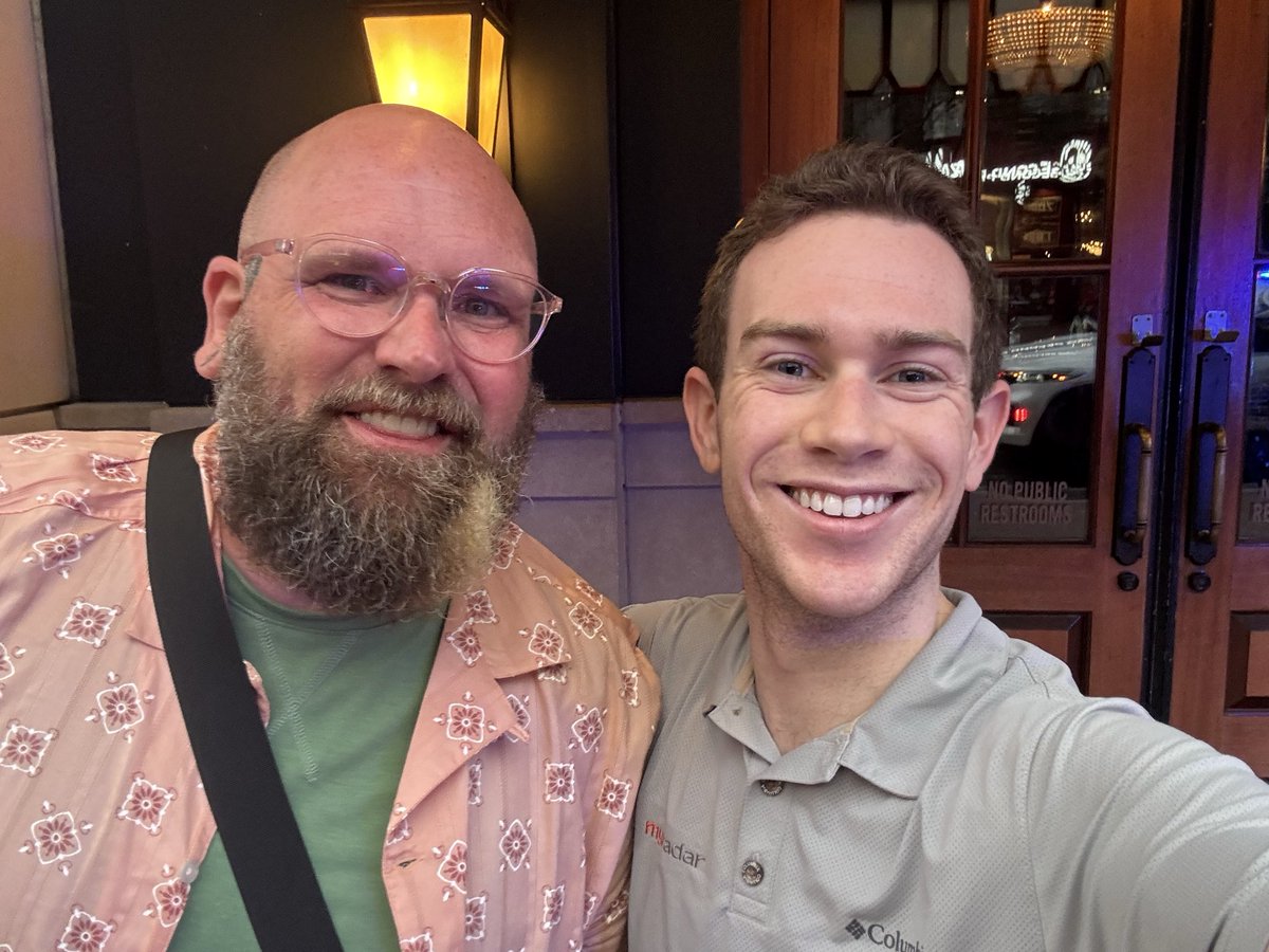
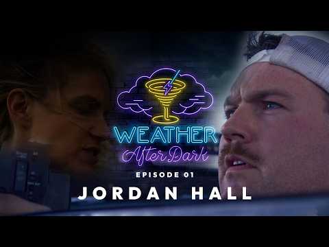
Weather After Dark Podcast #001 - Jordan Hall Unfiltered youtu.be/FoUAuB9geuM?si… via @YouTube @JordanHallWX so glad to have Jordan back home! Great watch!
YouTube
English
ColtWX retweetledi


ColtWX retweetledi

ColtWX retweetledi

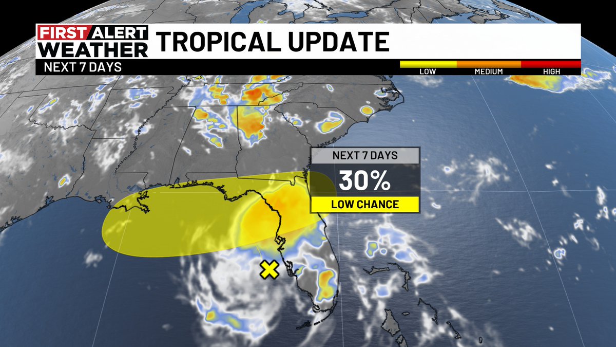
The Gulf of Rapid Intensification is back

United States 🇺🇸 English
ColtWX retweetledi

ColtWX retweetledi
Breathtaking views in D.C. today - literally....
📷 Edgar ONeal

English
🚨 WE ARE HIRING!
As we continue to rapidly expand our weather coverage across the United States, we’re looking for talented, driven people who want to help us grow.
We’re interested in hearing from people who can bring new ideas, strengthen our content, grow our brand, improve our operations, and help us continue building one of the country’s leading digital weather platforms.
Whether your background is in meteorology, content production, social media, graphic design, business development, technology, or another area you believe could make our team better, we want to hear from you.
Send your resume, a brief introduction, and why you believe you would be a great fit to info@maxvelocitywx.com
Please include the type of position or area of work you are interested in.
Come help us build the future of weather coverage and become part of our family.

English
ColtWX retweetledi
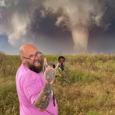
Is this what they ment by draining the swamp… also the Canadian smoke is terrible here today!

Washington, DC 🇺🇸 English
ColtWX retweetledi

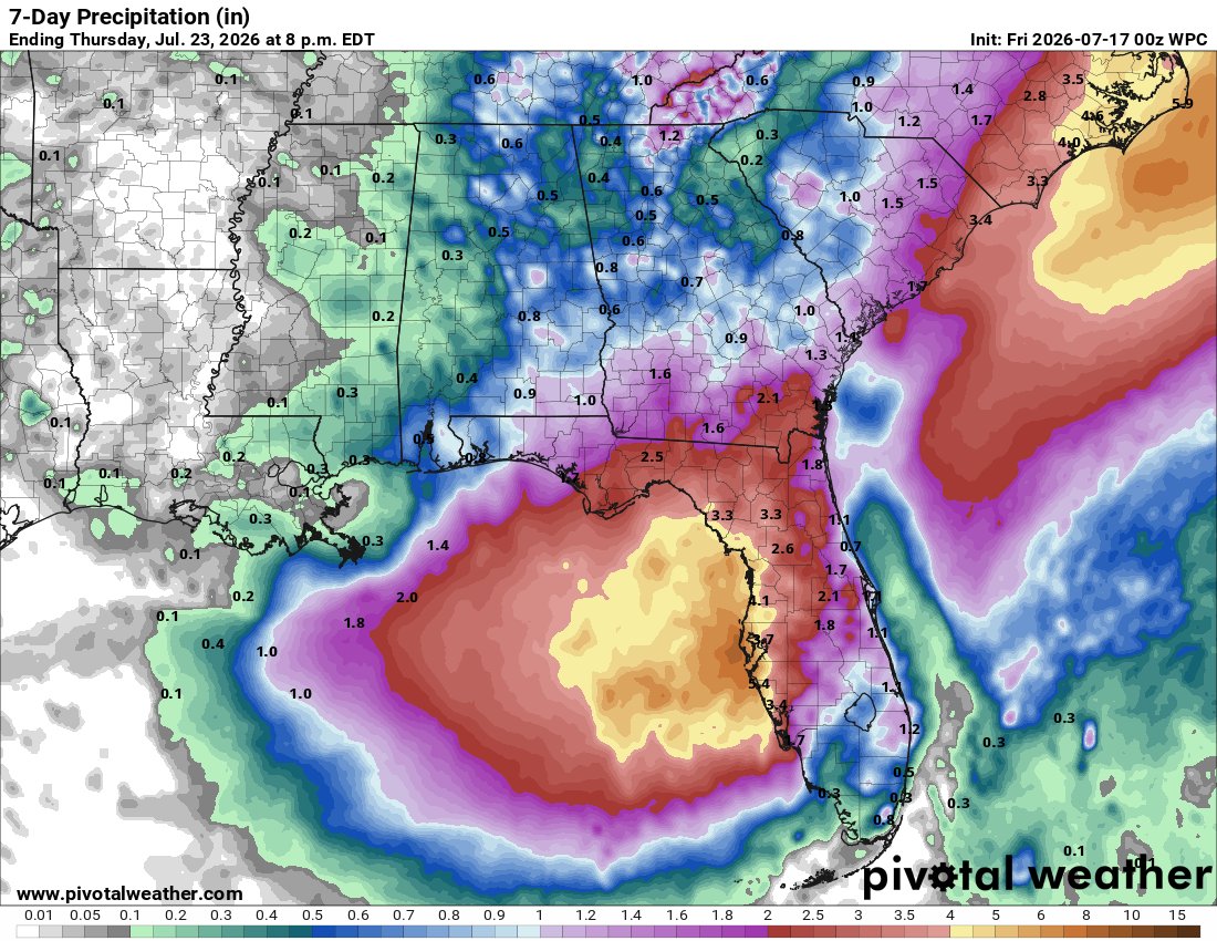
TROPICS: A large area of showers and thunderstorms over the eastern Gulf is associated with an upper-level low and a surface trough. Some gradual development of this system is possible while it meanders northward, bringing heavy rain to portions of the Florida west coast during the next several days (places like St Petersburg, Tampa, and Sarasota). Chance of development is 30 percent.
This feature could bring elevated coverage of scattered and storms over the Florida Panhandle coast (Pensacola to St George Island) Sunday through Tuesday, but the heaviest rain will likely remain over the peninsula. No wash-out.

English
ColtWX retweetledi

ColtWX retweetledi


ColtWX retweetledi

ColtWX retweetledi
I'm starting to get a tad concerned about Tropical Development in the Gulf.
Last night a massive complex of Storms fired West of Tampa and today is noticeably spiraling on Satellite, WELL ahead of schedule.
We need to monitor this System closely...
English
ColtWX retweetledi

ColtWX retweetledi
Spent 4 hours on this analysis. Please don’t let it flop.

English
ColtWX retweetledi
