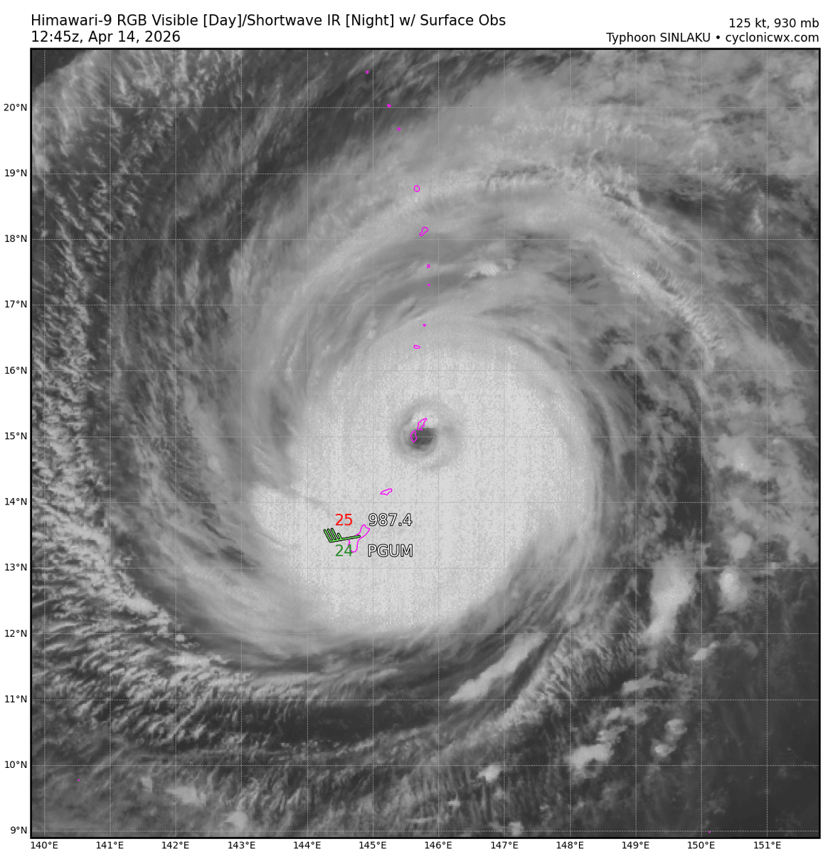
@iCyclone @KeviShader More pressure data from another station, this one got down to ~928 mbar, looks it was in what was left of the inner eyewall.
wrcc.dri.edu/cgi-bin/ammeLI…
English
James
1.1K posts

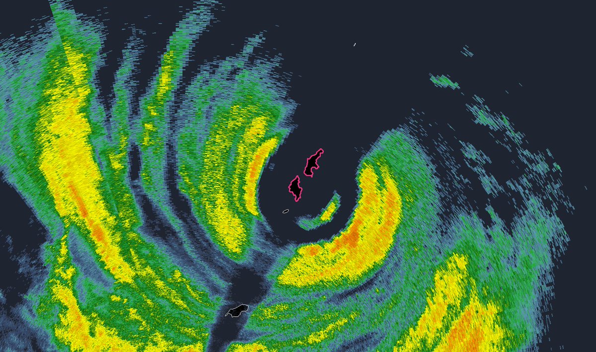
While the AWS on Saipan has not reported any pressure data in a few hours, a Davis Vantage Pro 2 station on Saipan is still reporting data (wunderground.com/dashboard/pws/…). The station is currently reporting 937mb but seems to be running ~13mb too high compared to the AWS 8mi to its SW.


Who's attending National Hurricane Conference? Come to #Hurricane #MELISSA Workshop: 10:30 am Wednesday in Salon 11 (2nd floor). National Hurricane Center, Aircraft Operations Center, & I will analyze this incredible storm from multiple angles & perspectives. Mine? Ground Zero.


The average hurricane return period of every coastal US county since our dataset began in 1851. These are just averages, but this map does a good job showing the frequently hit vs. hardly hit.