OpenStreetMap Somalia 🇸🇴
482 posts

OpenStreetMap Somalia 🇸🇴
@OSMSomalia
We are the Open street Map Team in somalia. Our focus: OSM for Humanitarian response & economic development #mapdifference #OSMSomalia


Meta used Facebook and satellite data to identify at-risk populations during the pandemic. Here's what you need to know about it:

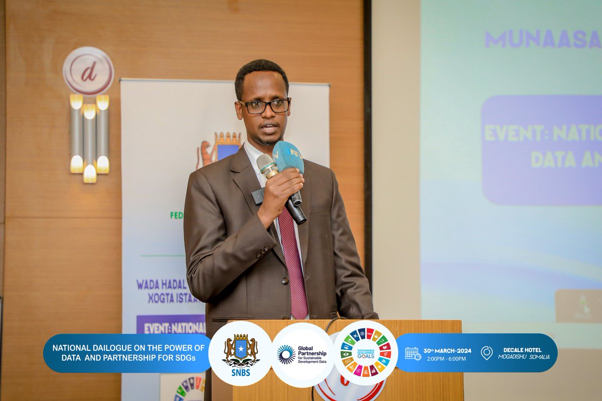
🌍 The productive two-day conference on GIS and Mapping for development in Somalia has concluded with significant achievements and commitments! 🔍 Stakeholders unanimously acknowledged the paramount importance of GIS for development, recognising its potential to drive progress and improve decision-making processes. 💼 Government MDAs including @MoH_Somalia, @SoDMA_Somalia, @MoIFARSomalia, and UN agencies including @FAOSomalia, @UNFPA_SOMALIA, @UNHabitat_Som, @WHOSom, @IOM_Somalia, @OCHASom, made enlightening presentations on their GIS efforts. Academic institutions, private data producers and individual experts were represented in panel discussions. It was eye-opening to witness the breadth and depth of work already underway. 🤝 This was the first time many saw each other's work, and all were pleasantly surprised by the wealth of available data. It highlighted the need for coordination and data sharing among stakeholders to maximise the impact of GIS initiatives. 📈 There was an en masse commitment to support the government's GIS centre initiative and the development of Somalia's first base map since the 1980s. I thank Minister @HonBeenebeene for the leadership that enabled the conference, and I would also like to extend my appreciation to @NBS_Somalia GIS Unit for their expert organisation of the conference. 👏 Special thanks to @SwissEmbassyKE for supporting this productive conference and all the participants for their active engagement and contributions. 💬 Moving forward, @NBS_Somalia reaffirms its commitment to the journey towards a unified approach to GIS in Somalia. With a centralised GIS centre scheduled for launch in March 2024, we are poised to collaborate, share data, and build a stronger, more unified Somalia through the power of GIS. 📌 Key takeaways: - Importance and use of GIS in development and humanitarian interventions - Recognition of fragmented and siloed GIS efforts - Emphasis on coordination and data sharing among stakeholders - Establishment of GIS Center at SNBS for a unified approach and the national base map development. Let's continue this momentum and work together towards a brighter future for Somalia! 🌟 #GISforDevelopment #SomaliaProgress
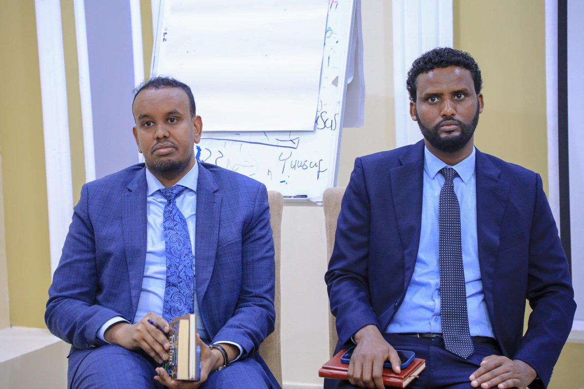
Day two of the High-Level GIS & Stakeholders' Engagement Meeting concludes with commitment to enhancing coordination, recognizes the need to establish GIS Center at SNBS to unify approach & produce official base maps for Somalia @SharmarkeFarah @abdirahm_omar