CTRWilsonAtmosElect

1.5K posts

CTRWilsonAtmosElect banner
CTRWilsonAtmosElect

CTRWilsonAtmosElect

@atmos_elect

News and updates on all things atmospheric electrical, with a UK focus. Edited quotes from the great CTR himself.

Katılım November 2016
57 Takip Edilen155 Takipçiler

2026 Yıllık Özeti

@atmos_elect hesabının Twitter yılını gör

CTRWilsonAtmosElect retweetledi
Dorian Dziadula
Dorian Dziadula@DorianDziadula·
Cas de pyrocumulonimbus (quasi-inédit en France) provoqué par l'#incendie de #Gironde, capturé depuis l'espace par le satellite Aqua de la NASA ce vendredi 24 juillet.
Dorian Dziadula tweet media
Français
7
101
519
48.4K
CTRWilsonAtmosElect retweetledi
Jeo Albant
Jeo Albant@jeoalbant·
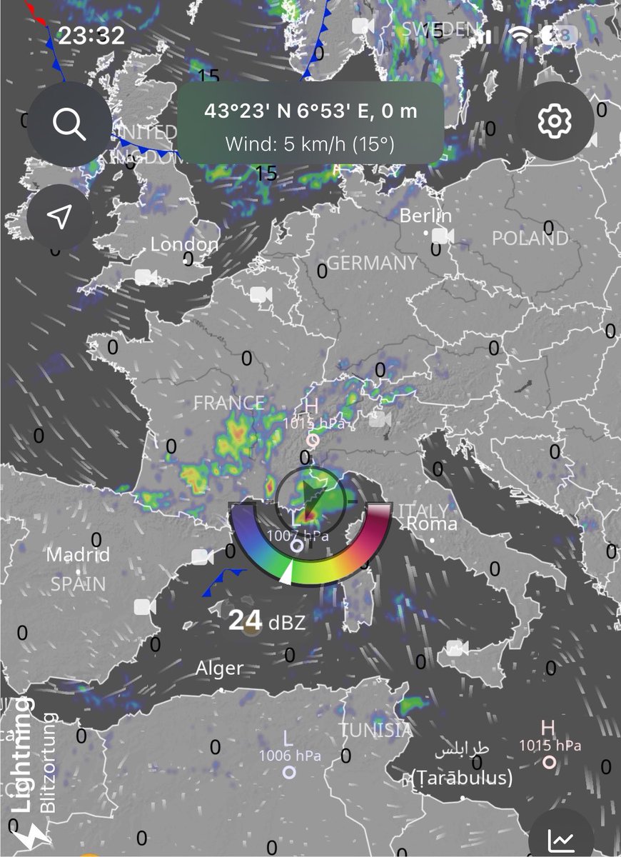
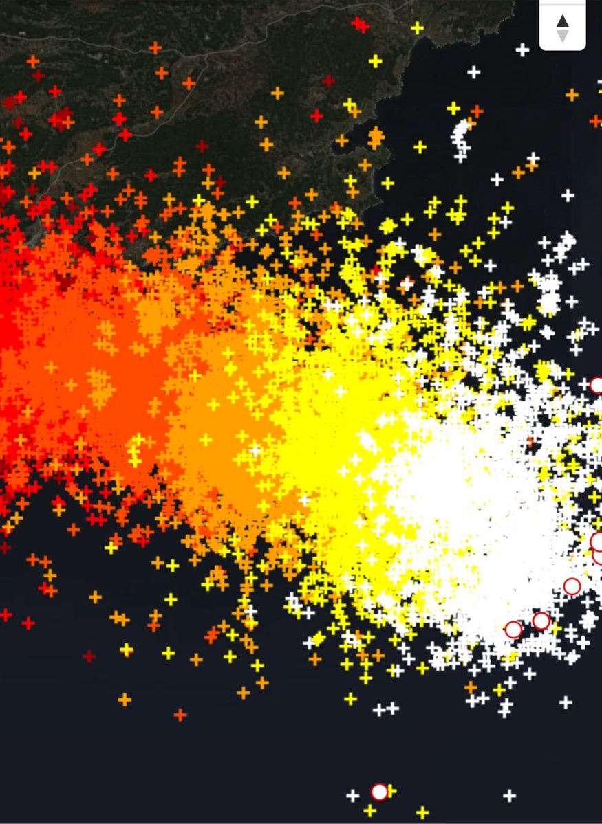
Look at this 😳 The storm currently raging over the Mediterranean is making history right now. ⚡️⚡️⚡️⚡️⚡️⚡️ Off the coast of Antibes – Monaco it has turned into a true lightning bomb. Countless flashes, sometimes more than one per second. But the real madness started a few hours ago and is still ongoing: 🌀 An extremely rare, powerful and tightly packed mesocyclone is currently active over the Mediterranean. Inbound (green) and outbound (red) velocities are almost stacked on top of each other. maximwx measured a VROT of around 59 knots (≈ 109 km/h). This is an exceptionally high value for Europe, and especially for the Mediterranean. Typical fair-weather waterspouts rarely exceed 30-40 knots. A 59-knot rotational velocity clearly confirms this is a true tornadic waterspout produced by a supercell. The same cell later produced a second rotation with VROT exceeding 50 knots, and a rare “donut hole” appeared on reflectivity — something almost never seen on European radars. This is one of the cleanest, strongest and most textbook tornadic waterspout-producing supercells we’ve seen over the Mediterranean in the summer of 2026. If it had moved inland the damage potential would have been significant, but its track is remaining entirely over water. The radar data alone is already in the “insane” category. #Supercell #Tornado #Waterspout #Lightning #SevereWeather #Mediterranean #StormChaser #Weather
Jeo Albant tweet mediaJeo Albant tweet mediaJeo Albant tweet media
English
44
486
1.8K
386.3K
CTRWilsonAtmosElect retweetledi
Paul M Smith
Paul M Smith@PaulMSmithphoto·
The monsoon through my lens. Man, I wish I could spend a whole month in the SW
Paul M Smith tweet mediaPaul M Smith tweet media
English
16
177
2.3K
39.3K
CTRWilsonAtmosElect
CTRWilsonAtmosElect@atmos_elect·
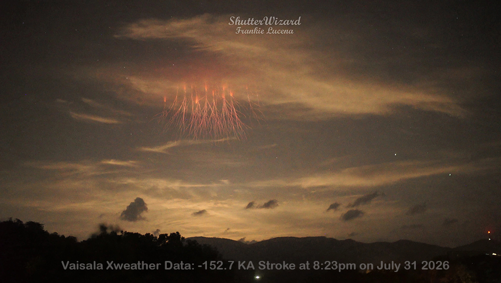
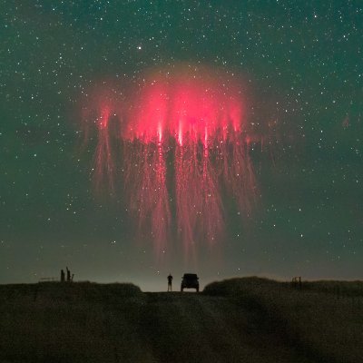
apod.nasa.gov/apod/astropix.… Atmospheric electricity is @NASA astronomy picture of the day today! I anticipated the existence of upper atmosphere discharges in the 1920s but their existence was not proved until many years later.
CTRWilsonAtmosElect tweet media
English
0
0
0
138
CTRWilsonAtmosElect retweetledi
La tour Eiffel
La tour Eiffel@LaTourEiffel·
🇫🇷 Ce week-end, la foudre m'a rendu visite ⚡ Pas d'inquiétude : j'y suis préparée ! Frappée en moyenne 5 fois par an, je suis équipée de paratonnerres et ma structure conduit l'électricité jusqu'au sol en toute sécurité. 👉toureiffel.paris/fr/actualites/… 📸 @‌sfavier_photo
La tour Eiffel tweet media
Français
24
261
989
24K
CTRWilsonAtmosElect retweetledi
Rom
Rom@PgRomuh·
La tour eiffel frappée par la foudre ! À 0:14 la foudre frappe la tou, on aperçoit de la fumée qui apparaît les seconde suivantes à gauche et à droite ! #Paris #Finaltop14 #Orage
Français
52
233
5.1K
3.9M
CTRWilsonAtmosElect retweetledi
Helen Day
Helen Day@LBFlyawayhome·
Summer storm Artist: CF Tunnicliffe (What to Look for in Summer, 1960)
Helen Day tweet media
English
7
190
1.3K
11.3K
CTRWilsonAtmosElect retweetledi
MetWatch ☈
MetWatch ☈@MetWatchUK·
Thunderstorms now moving into Cornwall! A fantastic capture a short while ago by Stephanie Celella.
MetWatch ☈ tweet media
English
12
87
786
25K
CTRWilsonAtmosElect retweetledi
Met Office
Met Office@metoffice·
⚠️ Yellow weather warnings issued ⚠️ Thunderstorm warning for parts of England and Wales Thunderstorm warning for Northern Ireland Friday 00:00 – 1000 Latest info 👉 bit.ly/WxWarning Stay #WeatherAware⚠️
English
24
96
427
202.9K
CTRWilsonAtmosElect retweetledi
James Peacock
James Peacock@peacockreports·
A very interesting possibility was mentioned in today's weather updates from the Met Office: A sharp spike in temperatures as thunderstorms (if they initiate) approach from the channel. You can see UKV predicting that here - look at that 31°C over the Channel at 7 pm BST.
James Peacock tweet mediaJames Peacock tweet media
English
4
15
126
44.7K
CTRWilsonAtmosElect retweetledi
Backpirch Weather
Backpirch Weather@BackpirchCrew·
A solitary thunderstorm cell erupting out of nowhere today over southern England.
English
41
106
1.9K
666.8K
CTRWilsonAtmosElect retweetledi
MetChasers🏴󠁧󠁢󠁥󠁮󠁧󠁿
Absolutely insane storm over Somerset/Bristol area right now, this weather is extraordinary and not like the UK at all Tropical like storms like something you'd see out of florida, not here This storm is moving NNE in a very favourable environment
MetChasers🏴󠁧󠁢󠁥󠁮󠁧󠁿 tweet media
English
2
4
23
2.6K
CTRWilsonAtmosElect retweetledi
Paul Knightley
Paul Knightley@PaulKnightley·
Active thunderstorm just south of Bristol at the moment. Our DTN proprietory algorithms on #WeatherHub show that this is a potentially severe storm, with a risk of strong gusts and hail, which could be large. #RiskCommunication
Paul Knightley tweet media
English
4
1
8
1.7K
CTRWilsonAtmosElect
CTRWilsonAtmosElect@atmos_elect·
possible supercell in south west England, very unusual for these parts
CTRWilsonAtmosElect tweet media
English
0
0
0
73