What's everyone's opinion on the new met office colour scheme out of intrest, I'm not a fan, to me it seems less clear and obvious regarding temps and the new scheme the colours seem all very similar
@Met4CastUK@MetJam_@MetJayy@Chris38bell@simon_weather
@HAMPWEATHER History tells us this could go much further south then we think.
Ive ran through all ensembles last 48 hours and there is a chance that this could end up in France.
Higher liklihood of it being centred anywhere between channel / Midlands
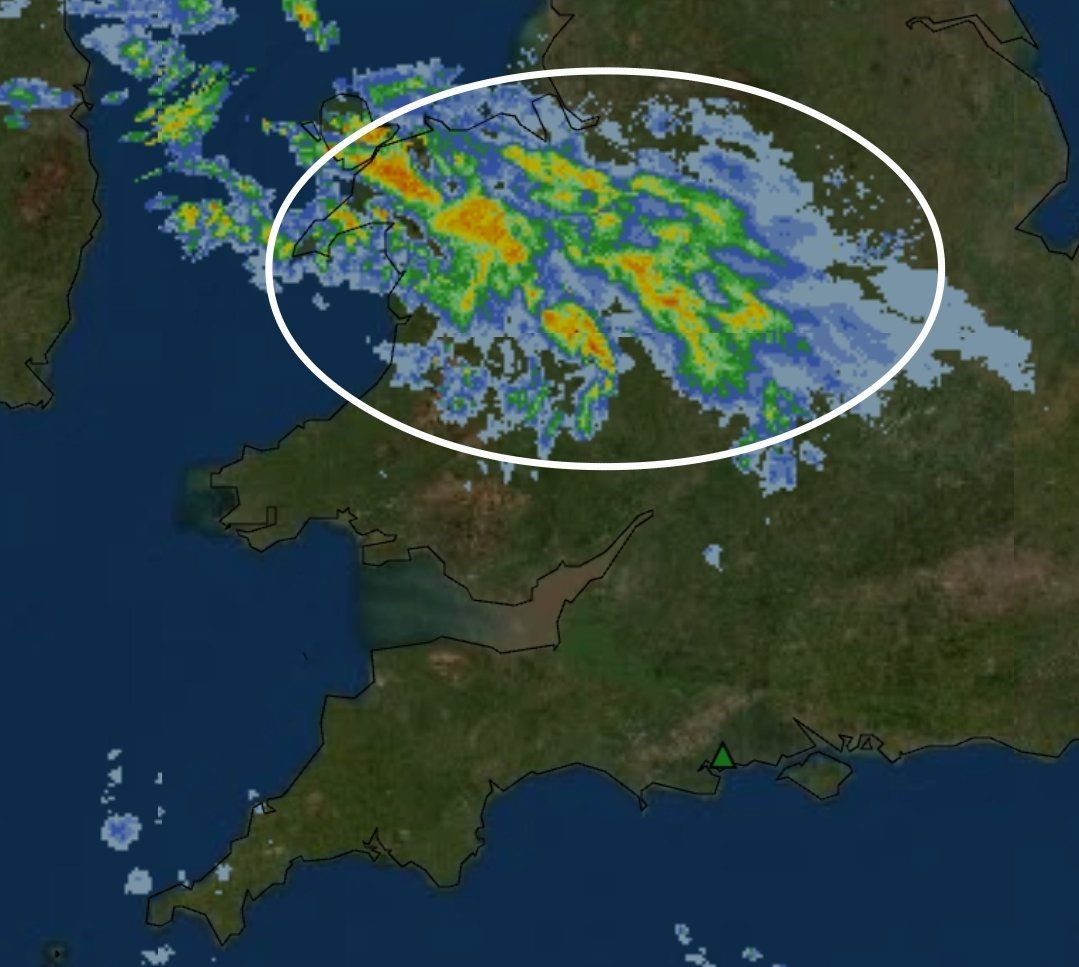
This feature comparing to the models at 2100 looks more extensive and definitely more intenser then previously anticipated from the models.
This has increased the chances of snow for lowland areas of south / se areas.
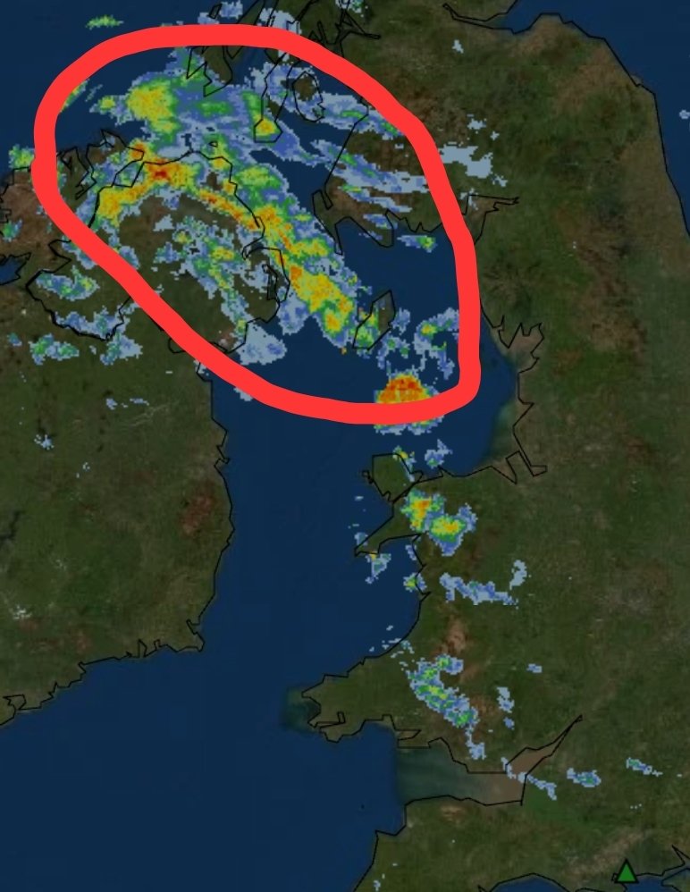
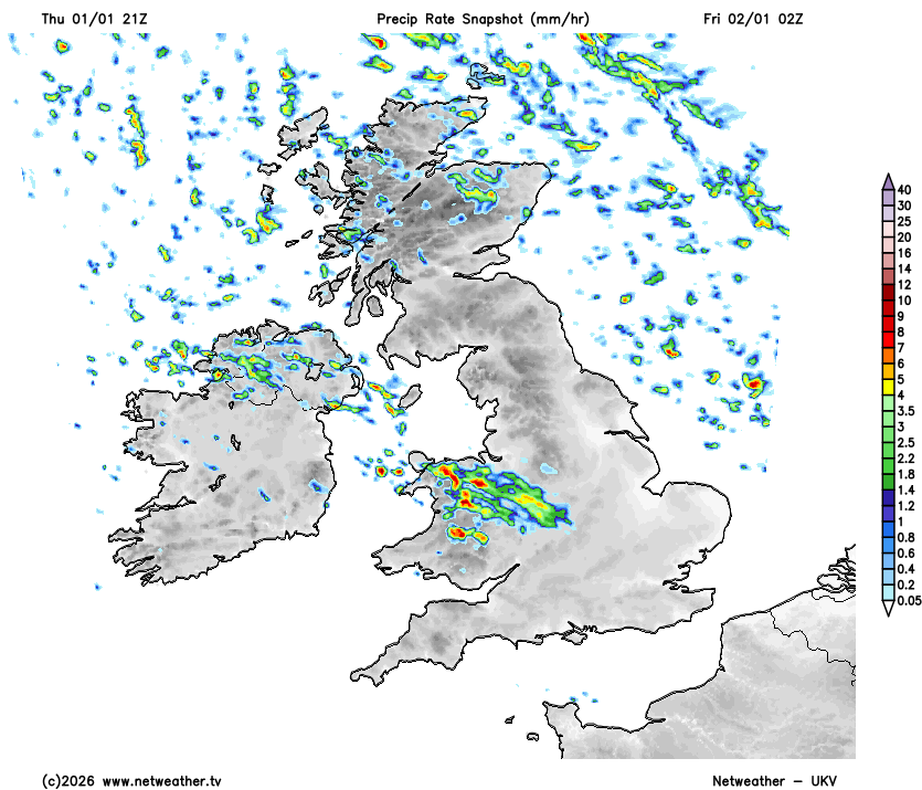
UKV 21z is now in a similar scenario for whats currently ongoing across Wales / Midlands.
Still seeing the precipitation being much extensive and stronger, however the UKV has this dieing out slowly as it heads S.
Eyes on whether this dies or continues!
@notkindofokay Alot of uncertainty on exactly the length / track / intensity on this feature. So they are covering all areas as of a just incase im guessing.
A very active rare cold front is going to be tracking from NW Wales down CS/SW England early hours of Friday bringing a mixture of sleet & snow.
Snow will likely accumulate on higher levels with potentially a dusting on lower levels depending on how fast the cold air undercuts.
Being 12 hours out from this feature tracking across England down into S England.
Exactly the intensity / extent & track of this feature is still fairly uncertain. This is becoming a nowcast event, alot of suprises incoming!
Merry Christmas to everyone celebrating, enjoy the times with your families! ❄️
As of a Christmas present to everyone, after a long break we are officially back!
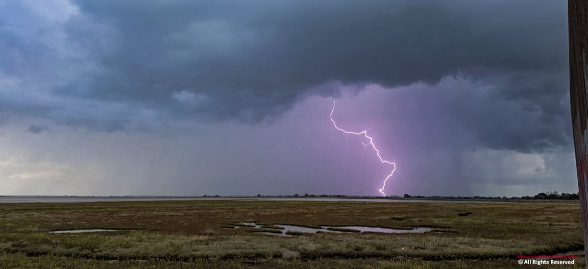
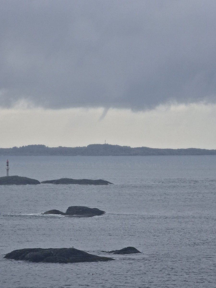
Interesting situation today and tonight across the U.K., especially during the night over England with fast moving storms having a potential to produce severe wind gusts and tornadoes. Once again, the low level stability will be important.