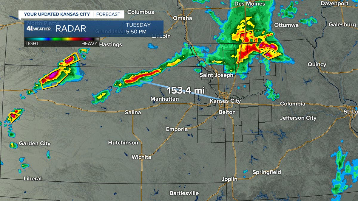
Thunderstorms north of Trenton are strong, but not severe at the moment. These are moving away. New areas of thunderstorms are organizing to our northwest. At 153 miles away, these are still not likely to arrive until midnight or later. We will go in-depth on @kshb41 this hour
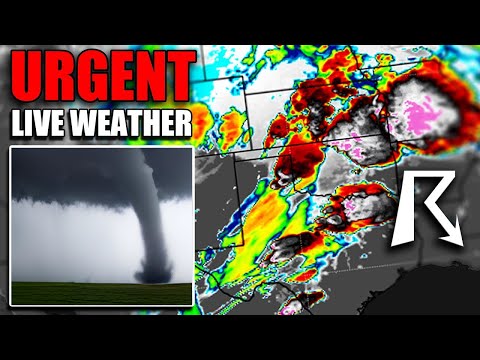
Professional storm chaser @VinceWaelti intercepted the tornado in Foard County, Texas. We are live and covering these tornadoes on the ground with our chasers and tracking using @RadarOmegayoutube.com/watch?v=whXy6H…
While we are expecting scattered storms with heavy rain which could lead to flooding today, severe weather is not expected. This is unlike on this date last year when the #LinwoodTornado occurred.
IL RIVER FLOODING: A barge got caught in a bridge pillar on the rising Illinois River in Ottawa. No word yet on any damage. @25NewsWEEK@NWSChicago@spann#ILwx
(Video: La Salle County EMA)
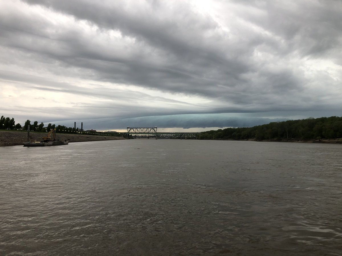
UPDATE: Target area unchanged today: eastern KS cold front with a SW low-level jet of 30-40 knots. Maybe some local weakening/backing of surface winds due to OFB disruption could locally enhance low-level SRH. I could see a tornado or two E KS through northern MO. IL warm front?
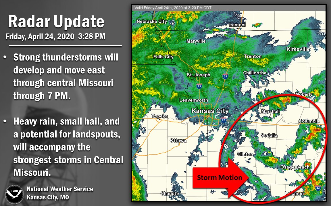
Rain will continue spreading east across a large portion of eastern Kansas and northwest Missouri, with strong storms possible in central Missouri, through 7 PM.
I'll likely chase tomorrow and see how it is crossing the border into Illinois. If I get stopped and asked to turn around due to the quarantine then Iowa will be my chasing ground. Everything I see won't stop a chaser but I just can't sit back and not chase due to the severity.